Log in
All resources
Create a design
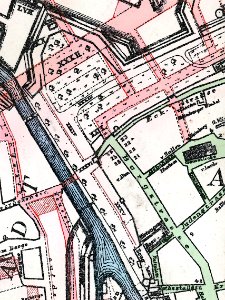
Stadtplan Hannover um 1650 Strassenverlauf um 1900 cropped
Download
Edit image
Published by:
Creazilla
Author:
Karl Friedrich Leonhardt
Source:
commons.wikimedia.org
Loading...
0 downloads
Print it
Copy image
Loading...
history
historical
skiptag
fortifications of hannover
city walls in hannover
mitte (hannover)
old maps of hannover
karl friedrich leonhardt
hofmarställe am hohen ufer
MORE LIKE THIS