Log in
All resources
Create a design
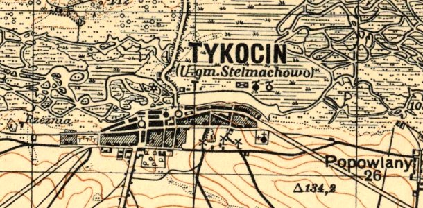
Tykocin - na mapie w 1931 r
Download
Edit image
Published by:
Creazilla
Author:
Mapa Tykocin, Pas 36 Słup 35, skala 1: 100 000 Wojskowy Instytut Geograficzny z 1931 r.
Source:
commons.wikimedia.org
Loading...
0 downloads
Print it
Copy image
Loading...
history
historical
skiptag
history of tykocin
MORE LIKE THIS