Log in
All resources
Create a design
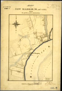
Map of New Madrid, Mo., and Vicinity, showing the position of the fortifications. Surveyed & drawn by Louis... - NARA - 305776
Download
Edit image
Published by:
Creazilla
Author:
Unknown author or not provided
Source:
commons.wikimedia.org
Loading...
0 downloads
Print it
Copy image
Loading...
history
historical
missouri
skiptag
new madrid
1865 maps
old maps of missouri in the american civil war
maps of new madrid county
MORE LIKE THIS