Log in
All resources
Create a design
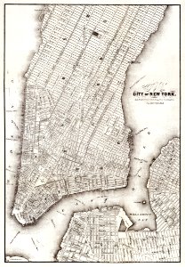
Map of the city of New York (ca. 1850) from Library of Congress Geography and Map Division Washington.
Download
Edit image
Published by:
Creazilla
Author:
Library of Congress
Source:
rawpixel.com
Loading...
0 downloads
Print it
Copy image
Loading...
maps
new york
city
cartography
vintage
poster
vintage maps
city map
new york map
vintage new york
city of new york
vintage map town city
MORE LIKE THIS