Log in
All resources
Create a design
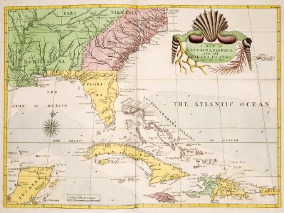
A map of Carolina, Florida and the Bahama Islands with the adjacent parts from The Natural History of Carolina, Florida, and the Bahama Islands (1754) by Mark Catesby (1683-1749).
Download
Edit image
Published by:
Creazilla
Author:
Beinecke Rare Book & Manuscript Library
Source:
rawpixel.com
Loading...
0 downloads
Print it
Copy image
Loading...
maps
yellow
drawing
florida
north carolina
south florida
vintage compass
map art
florida map
and the bahama islands
catesby
florida maps public domain
MORE LIKE THIS