Log in
All resources
Create a design
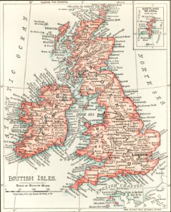
Universal Atlas of the World, A cartographic map of the British Isles. published in 1900. Digitally enhanced from our own original plate.
Download
Edit image
Published by:
Creazilla
Author:
Untitled
Source:
rawpixel.com
Loading...
12 downloads
Print it
Copy image
Loading...
maps
sea
ship
england
ireland
british
scotland
edinburgh
vintage maps
city map
ireland map
england map
MORE LIKE THIS