Log in
All resources
Create a design
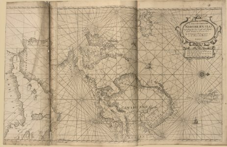
Atlas maritimus or, the sea-atlas - being a book of maratime (sic) charts describing the coasts, capes, headlands, sands, shoals, rocks and dangers, the bays, roads, harbours, rivers, and ports in LOC 2010592349-9
Download
Edit image
Published by:
Creazilla
Author:
Thornton, John
Source:
commons.wikimedia.org
Loading...
0 downloads
Print it
Copy image
Loading...
river
roads
sand
cape
harbour
headland
shoal
the port
s bay
maps in the library of congress
atlas maritimus or
the sea-atlas - being a book of maratime (sic) charts describing the coasts
rocks and dangers
MORE LIKE THIS