Log in
All resources
Create a design
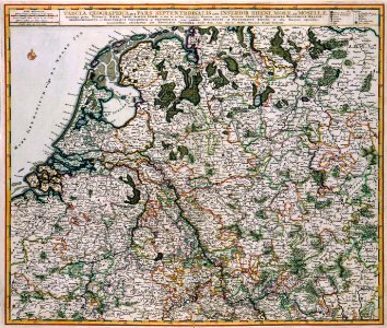
Atlas Van der Hagen-KW1049B10 083-TABULA GEOGRAPHICA QUA PARS SEPTENTRIONALIS SIVE INFERIOR RHENI, MOSAE, ET MOSSELAE, maximaeque partes VISURGIS, MOENI, AMASI, SCALDIS, ISALAE, et alia in eosdem influentia Flumina
Download
Edit image
Published by:
Creazilla
Author:
Nicolaes Visscher II (1649–1702)
Source:
commons.wikimedia.org
Loading...
0 downloads
Print it
Copy image
Loading...
maps with cartouches
atlas van der hagen
atlas van der hagen (volume 1)
1680s maps of the netherlands
MORE LIKE THIS