Log in
All resources
Create a design
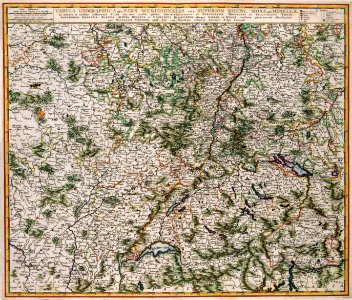
Atlas Van der Hagen-KW1049B10 082-TABULA GEOGRAPHICA QUA PARS MERIDIONALIS SIVE SUPERIOR RHENI MOSAE ET MOSELLE ac minores in eosdem influentes Fluvii nec non mediae partes ARCHIEPISCOPATUS
Download
Edit image
Published by:
Creazilla
Author:
Author and publisher: Nicolaes Visscher II
Source:
commons.wikimedia.org
Loading...
2 downloads
Print it
Copy image
Loading...
old maps of toul
maps with cartouches
atlas van der hagen
atlas van der hagen (volume 1)
old maps of lorraine
1680s maps of switzerland
1680s maps of germany
1680s maps of france
old maps of meurthe (department)
MORE LIKE THIS