Log in
All resources
Create a design
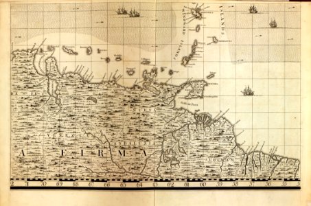
A map of the British Empire in America with the French and Spanish settlements adjacent thereto LOC 2009582407-21
Download
Edit image
Published by:
Creazilla
Author:
Popple, Henry; Toms, W. H. (William Henry); Seale, Richard William; Lemprière, C. (Clement); Baron, Bernard
Source:
commons.wikimedia.org
Loading...
0 downloads
Print it
Copy image
Loading...
18th-century maps of barbados
maps in the library of congress
a map of the british empire in america with the french and spanish settlements adjacent thereto
MORE LIKE THIS