Log in
All resources
Create a design
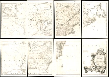
A map of the British and French dominions in North America - with the roads, distances, limits, and extent of the settlements, humbly inscribed to the Right Honourable the Earl of Halifax, and the (7118605149)
Download
Edit image
Published by:
Creazilla
Author:
Norman B. Leventhal Map Center at the BPL
Source:
commons.wikimedia.org
Loading...
0 downloads
Print it
Copy image
Loading...
old maps of north america
1755 mitchell map
old maps of canada from the norman b. leventhal map center
old maps of the united states from the norman b. leventhal map center
MORE LIKE THIS