Log in
All resources
Create a design
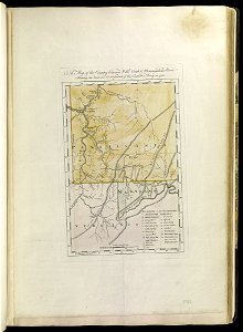
A map of the country between Will's Creek and Monongahela River shewing the rout and encampments of the English army in 1755 (18160198140)
Download
Edit image
Published by:
Creazilla
Author:
Norman B. Leventhal Map Center at the BPL
Source:
commons.wikimedia.org
Loading...
0 downloads
Print it
Copy image
Loading...
1786 maps
maps of the french and indian war
braddock road (braddock expedition)
MORE LIKE THIS