Log in
All resources
Create a design
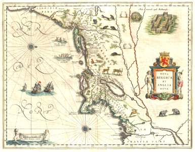
1635 Blaeu Map of New England and New York (1st depiction of Manhattan as an Island) - Geographicus - NovaBelgicaetAngliaNova-blaeu-1635
Download
Edit image
Published by:
Creazilla
Author:
Willem Blaeu (1571–1638)
Source:
commons.wikimedia.org
Loading...
0 downloads
Print it
Copy image
Loading...
new york city
old maps of new york (state)
maps of new england
old maps of manhattan
old maps of nova belgica et anglia nova
1635 maps of north america
adriaen block
MORE LIKE THIS