Log in
All resources
Create a design
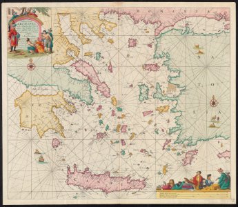
1680s map - Paskaerte vande archipel en de eylanden daer omtrent gelegen, als Candia, Serigo en Rodus, tusschen Golfo de Lepanto, Constantinopolen en C. Serdeni in Natolia
Download
Edit image
Published by:
Creazilla
Author:
Johannes van Keulen (1654–1715)
Source:
commons.wikimedia.org
Loading...
0 downloads
Print it
Copy image
Loading...
maps of the sea of marmara
old maps of the aegean sea
images from the beinecke rare book and manuscript library
johannes van keulen
dutch-language maps
MORE LIKE THIS