Log in
All resources
Create a design
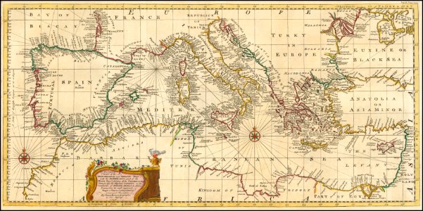
1748 map - An Accurate Chart of the Mediterranean and Adriatic Seas; with the Archipelago & Part of the Black Sea
Download
Edit image
Published by:
Creazilla
Author:
Emanuel Bowen (1694–1767)
Source:
commons.wikimedia.org
Loading...
3 downloads
Print it
Copy image
Loading...
english-language maps
maps by emanuel bowen
18th-century maps of the mediterranean sea
MORE LIKE THIS