Log in
All resources
Create a design
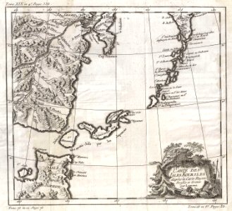
1750 Bellin Map of the Kuril Islands - Geographicus - Kouriles-bellin-1750
Download
Edit image
Published by:
Creazilla
Author:
Jacques-Nicolas Bellin (1703–1772)
Source:
commons.wikimedia.org
Loading...
0 downloads
Print it
Copy image
Loading...
1750 maps
maps by jacques-nicolas bellin
old maps of the russian empire
jacques-nicolas bellin
french-language maps
maps of the kuril islands
french-language maps of the pacific ocean
MORE LIKE THIS