Log in
All resources
Create a design
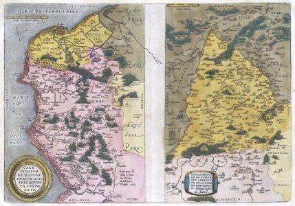
1579 Ortelius Map of Calais and Vermandois, France and Vicinity - Geographicus - Calais-ortelius-1579
Download
Edit image
Published by:
Creazilla
Author:
Abraham Ortelius (1527–1598)
Source:
commons.wikimedia.org
Loading...
0 downloads
Print it
Copy image
Loading...
latin-language maps
maps by abraham ortelius
1579 maps
1570s maps of belgium
1570s maps of france
theatrum orbis terrarum
old maps of the history of france
MORE LIKE THIS