Log in
All resources
Create a design
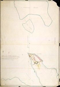
AMH-2517-NA Chart of the inner bay at Trinconomale
Download
Edit image
Published by:
Creazilla
Author:
Creator:Carl Friedrich Reimer Nederlands: Carl Friedrich Reimer (landmeter / kaartenmaker) English: Carl Friedrich Reimer (land surveyor / mapmaker)
Source:
commons.wikimedia.org
Loading...
0 downloads
Print it
Copy image
Loading...
maps of the dutch east india company - sri lanka
1787 maps
trincomalee bay
MORE LIKE THIS