Log in
All resources
Create a design
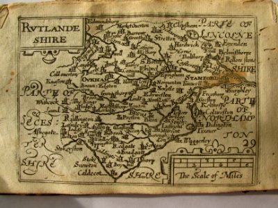
17th Century map of Rutlandshire
Download
Edit image
Published by:
Creazilla
Author:
John Speed
Source:
commons.wikimedia.org
Loading...
0 downloads
Print it
Copy image
Loading...
pieter van der keere
miniature speed atlas (1627) pieter van den keere
county maps of england by john speed
MORE LIKE THIS