Log in
All resources
Create a design
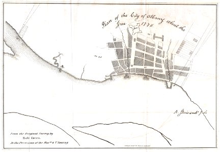
1820 Yates Map of Albany circa 1770 - Geographicus - Albany-yates-1820
Download
Edit image
Published by:
Creazilla
Author:
Unknown author
Source:
commons.wikimedia.org
Loading...
0 downloads
Print it
Copy image
Loading...
new york
1770 maps
old maps of cities in new york (state)
maps of albany
MORE LIKE THIS