Log in
All resources
Create a design
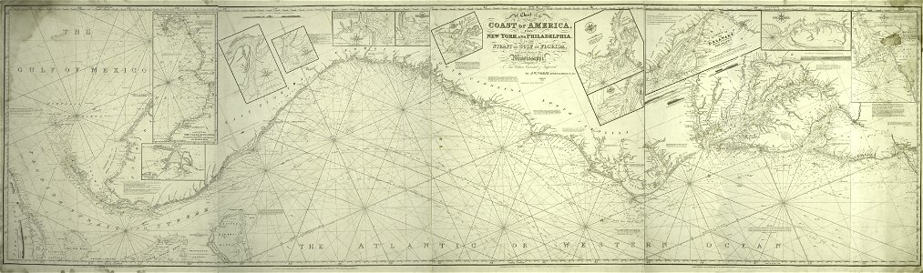
A chart of the coast of America - from New York and Philadelphia to the Strait or Gulf of Florida, and from thence to the Mississippi - a new edition corrected and improved by J.W. Norie, NYPL434117
Download
Edit image
Published by:
Creazilla
Author:
J.W. Norie and Co. -- Publisher; Norie, J. W. (John William), 1772-1843 -- Surveyor
Source:
commons.wikimedia.org
Loading...
0 downloads
Print it
Copy image
Loading...
map images supported by wikimedia uk
1856 maps
maps of the eastern united states
old maps of new york city
maps by john william norie
1837 maps
nypl maps of new york (state)
MORE LIKE THIS