Log in
All resources
Create a design
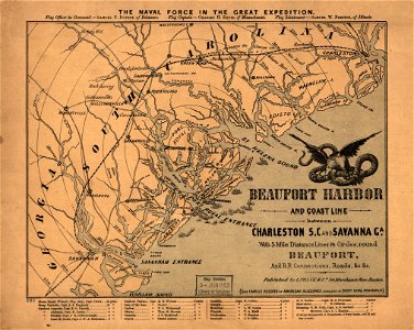
Beaufort Harbor and coast line between Charleston, S.C. and Savanna (sic) Ga., with 5 mile distance lines in circles round Beaufort, and R.R. connections, roads, etc. etc. LOC 99448811
Download
Edit image
Published by:
Creazilla
Author:
L. Prang & Co.
Source:
commons.wikimedia.org
Loading...
0 downloads
Print it
Copy image
Loading...
old maps of south carolina
maps in the library of congress
1861 maps
MORE LIKE THIS