Log in
All resources
Create a design
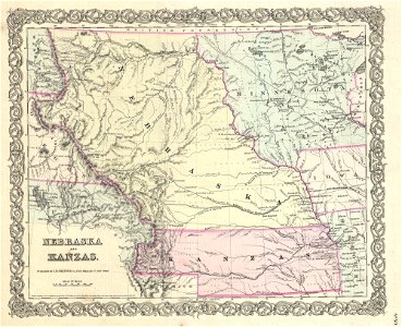
1855 Colton Map of Kansas and Nebraska (first edition) - Geographicus - NebraskaKansas-colton-1855
Download
Edit image
Published by:
Creazilla
Author:
J. H. Colton (1800–1893)
Source:
commons.wikimedia.org
Loading...
0 downloads
Print it
Copy image
Loading...
indian territory
franklin pierce
presidency of franklin pierce
nebraska territory
1855 maps
old maps of kansas
old maps of nebraska
maps by joseph hutchins colton
1855 in kansas
kansas territory
maps of former territories of the united states
arapahoe county
peketon county
MORE LIKE THIS