Log in
All resources
Create a design
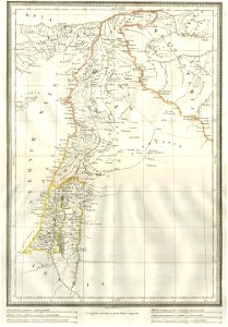
1859 Alabern Map of Israel, Palestine, or Holy Land and Syria in Ancient Times - Geographicus - Syria-alabern-1859
Download
Edit image
Published by:
Creazilla
Author:
Unknown author
Source:
commons.wikimedia.org
Loading...
1 download
Print it
Copy image
Loading...
1850s maps of israel
1850s maps of palestine
1859 maps of syria
MORE LIKE THIS