Log in
All resources
Create a design
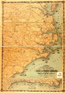
Colton's new topographical map of the eastern portion of the state of North Carolina with part of Virginia & South Carolina from the latest & best authorities. LOC 2008621646
Download
Edit image
Published by:
Creazilla
Author:
Colton, J. H. (Joseph Hutchins); Colton, J. H.
Source:
commons.wikimedia.org
Loading...
0 downloads
Print it
Copy image
Loading...
maps in the library of congress
1861 maps
19th-century maps of north carolina
MORE LIKE THIS