Log in
All resources
Create a design
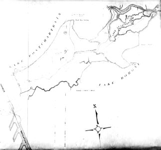
Eastern New Orleans Map 1940
Download
Edit image
Published by:
Creazilla
Author:
Uncredited
Source:
commons.wikimedia.org
Loading...
0 downloads
Print it
Copy image
Loading...
maps of eastern new orleans
the rigolets
1940 maps of new orleans
MORE LIKE THIS