Log in
All resources
Create a design
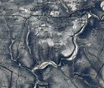
Oberreit Topographischer Atlas des Königreichs Sachsen Ausschnitt aus Blatt 19-Schwarzenberg- von 1843 Schönheide südlicher Teil bearbeitetl
Download
Edit image
Published by:
Creazilla
Author:
Jakob Andreas Hermann Oberreit
Source:
commons.wikimedia.org
Loading...
0 downloads
Print it
Copy image
Loading...
section schwarzenberg (1843)
oberreit
historical maps of schönheide
hammerkogel (erzgebirge)
knock (berg)
baumannsberg
heinzwinkel
walfischkopf oder frosch
MORE LIKE THIS