Log in
All resources
Create a design
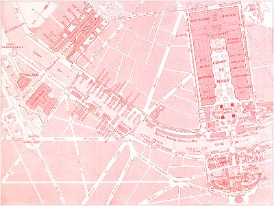
Plan de l'exposition universelle de 1900
Download
Edit image
Published by:
Creazilla
Author:
This image is available from the Brown University Library under the digital ID 1303834402515627.
Source:
commons.wikimedia.org
Loading...
0 downloads
Print it
Copy image
Loading...
1900s maps of paris
engravings of paris
le panorama
national pavilions of the exposition universelle (1900)
exposition universelle
old maps of paris 7e arrondissement
street maps of paris 7e arrondissement
maps of paris in the 1900s
maps of the exposition universelle (1900)
eiffel tower maps
street maps of paris 8e arrondissement
old maps of paris 8e arrondissement
street maps of paris 16e arrondissement
old maps of paris 16e arrondissement
MORE LIKE THIS