Log in
All resources
Create a design
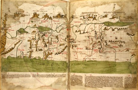
The map of the Holy Land by Marino Sanudo (drawn in 1320)
Download
Edit image
Published by:
Creazilla
Author:
Marino Sanuto the Elder
Source:
commons.wikimedia.org
Loading...
0 downloads
Print it
Copy image
Loading...
holy land
israelite
old maps of israel
old maps of the holy land
cartography of palestine
history of cartography
maps made in the 14th century
book of joshua
marino sanudo sr
1320s maps of palestine
pietro vesconte
marino sanuto the elder
caput mundi
MORE LIKE THIS