Logg Inn
Alle ressurser
Opprett et design
20 116 Gratis bilder av Plan
historie
historisk
landskap
fjell
gress
arkitektur
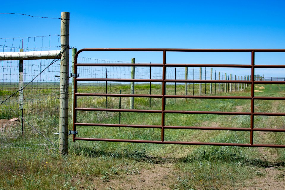
bufe
område
vilt
bedrift
kvalitet
bufe
landskap
fjell
vilt
tre
gress
vilt
arkitektur
kunst
arrangement
fest
mennesker
bonde
vitenskap
symbol
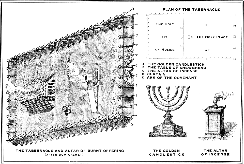
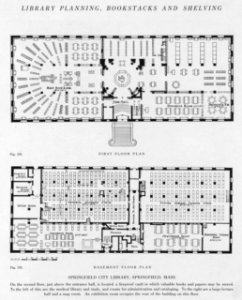
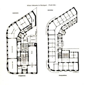
planløsning
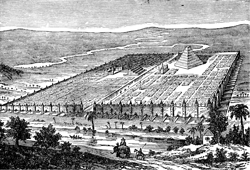
historie
historisk
historie
historisk
historie
landskap
bergart
historisk
historie
historisk
historie
historisk
historie
papir
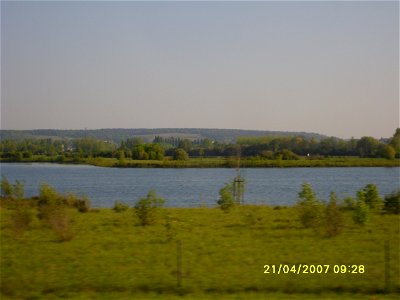
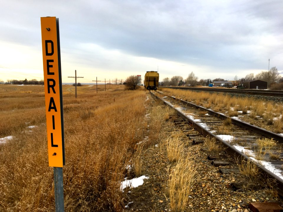
jernbanetog
tegn
reise
tur
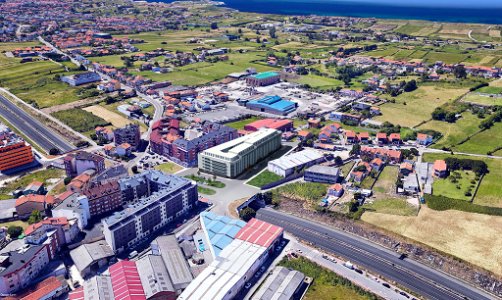
skyline
bybilde
gress
felt
persontog
farkost
landskap
natur
skogbrann
athen
landskap
natur
historisk
historie
historisk
historie
historisk
historie
historisk
historie
arkitektur
luftfartøy
flyging
australia
farkost
7801 - 7900 av 20 116
Neste side
/ 202