Logg Inn
Alle ressurser
Opprett et design
20 116 Gratis bilder av Plan
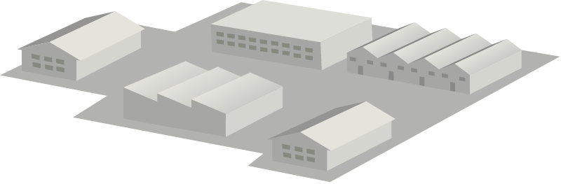
arkitektur
papir
historie
historisk
kart
vann
produksjon
menneske
renessanse
papir
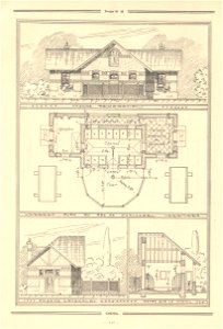
arkitektur
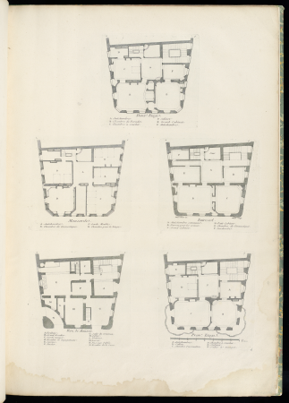
plan
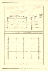
arkitektur
plan
arkitektur
plan
arkitektur
plan
arkitektur
plan
arkitektur
plan
arkitektur
plan
kunst
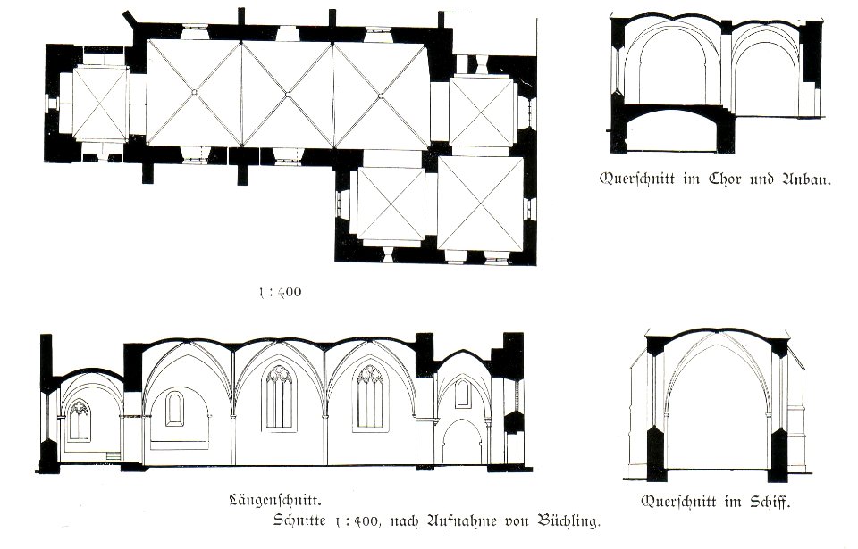
plan
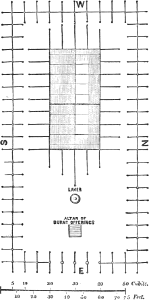
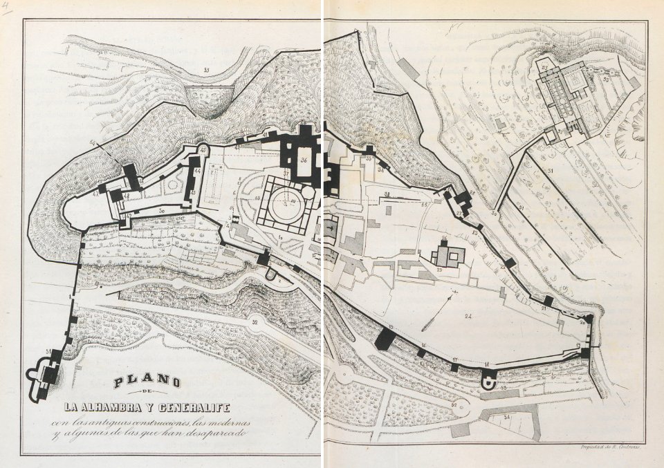
kart
plan
kart
plan
kart
plan
kart
plan
mennesker
profesjon
arkitektur
papir
vann
elv
vann
arkitektur
fargeblyant
papir
papir
papir
papir
papir
papir
vask
historisk
historie
historisk
historie
historisk
historie
historisk
historie
historisk
historie
historisk
historie
historisk
historie
historisk
historie
8501 - 8600 av 20 116
Neste side
/ 202