Logg Inn
Alle ressurser
Opprett et design
Tools
10 328 Gratis bilder av Utah
utendørs
usa
natur
landskap
reise
bergart
amerika
ørken
nasjonal
fjell
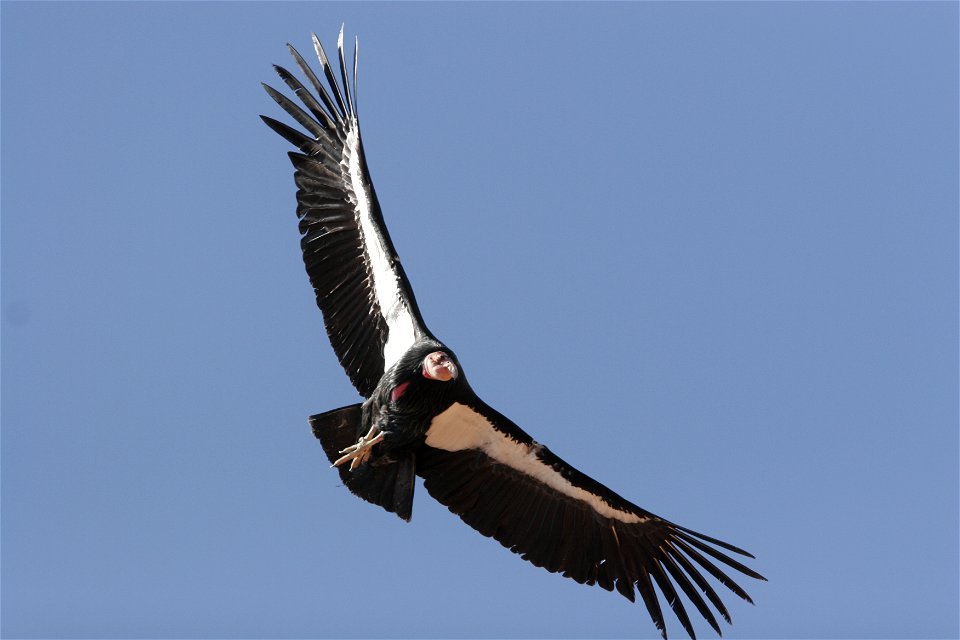
fugler
dyr
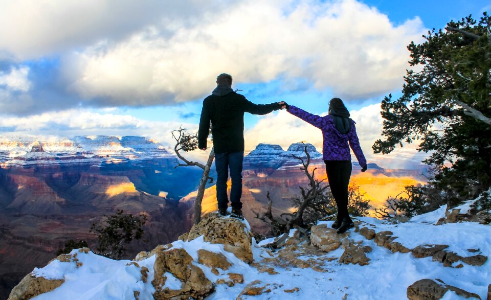
landskap
reise
mennesker
fugler
dyr
fugler
dyr
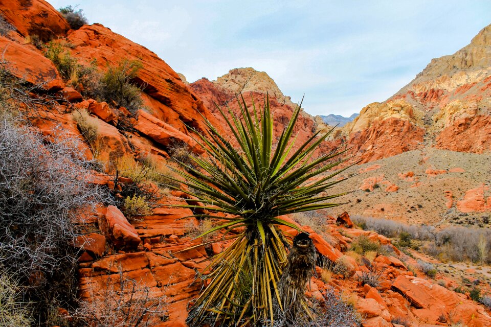
landskap
natur
landskap
bergart
landskap
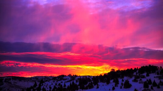
natur
landskap
reise
landskap
reise
båt
hav
landskap
natur
landskap
reise
landskap
reise
gruppe
reise
landskap
reise
steiner
tre
landskap
tre
luftfartøy
luftfart
mennesker
gruppe
fugler
dyr
fugler
dyr
landskap
reise
landskap
reise
landskap
reise
landskap
tre
landskap
reise
landskap
reise
fugler
dyr
skole
mann
skole
mann
skole
mann
luftfartøy
farkost
landskap
reise
skole
mann
skole
mann
landskap
reise
skole
mann
skole
mann
skole
mann
bygning
symbol
landskap
reise
landskap
reise
3301 - 3400 av 10 328
Neste side
/ 104