Log in
All resources
Create a design
14 Free Images of 17th Century Maps Of Denmark
cartography
engraving
chalcography
dinamarca
grabados
libros del siglo xvii
fondo antiguo
calcografía
cartografía
17th century books
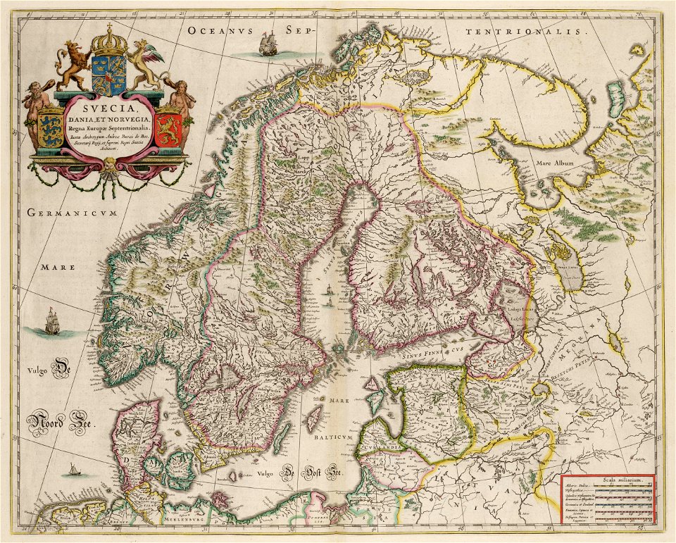
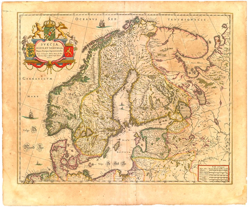
maps by willem and johannes blaeu
copper engraving
atlantis magni tomus primus (biblioteca comunale di trento)
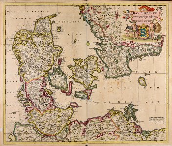
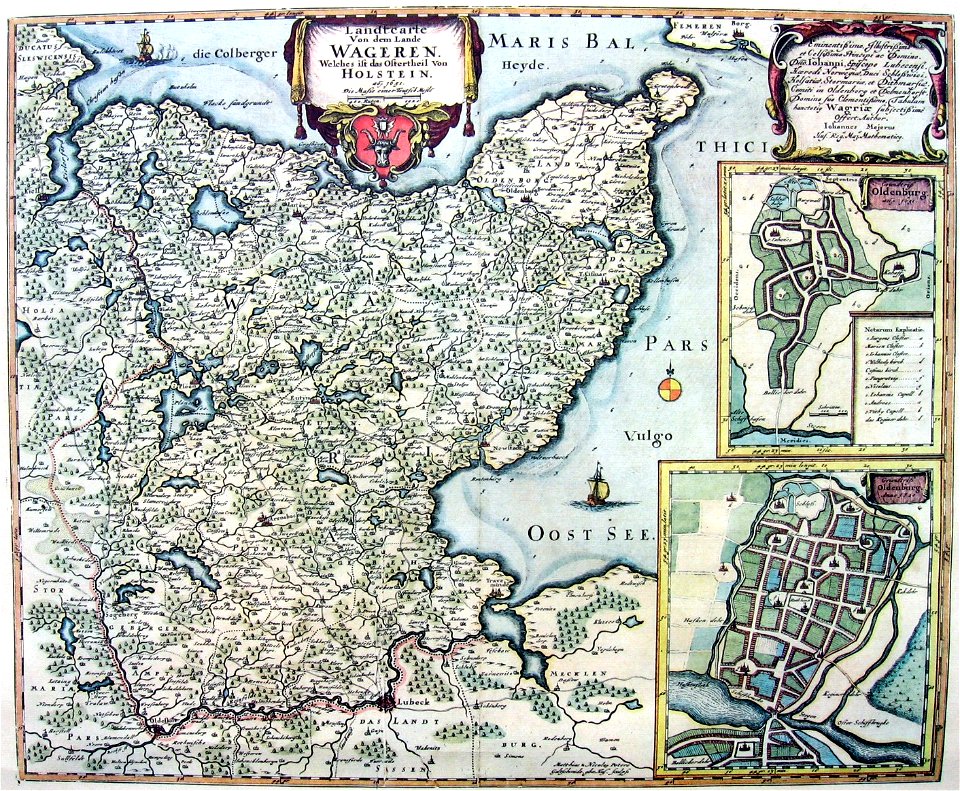
17th-century maps of schleswig-holstein
17th-century maps of finland
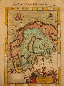
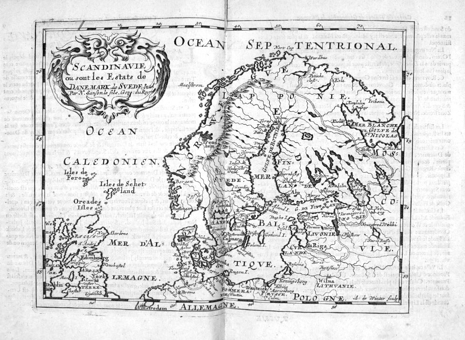
description de l'universe
historical coats of arms of denmark
royal coats of arms of sweden
atlantis magni tomus primus (biblioteca comunale di trento)
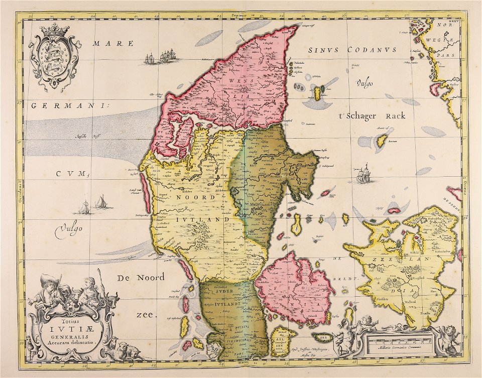
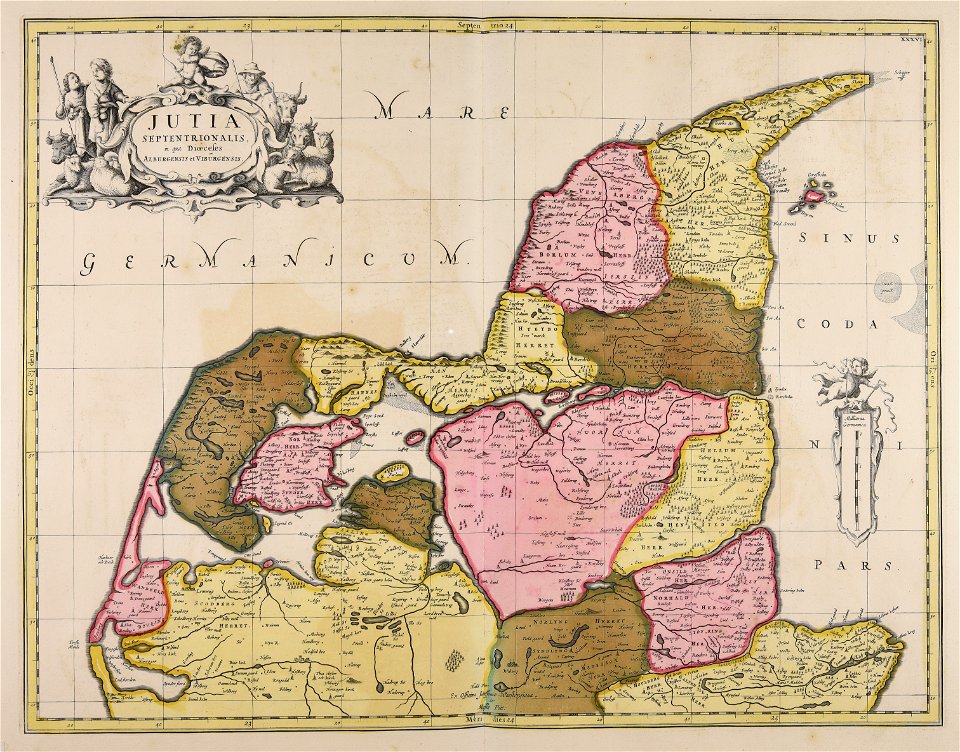
17th-century maps of denmark
atlantis magni tomus primus (biblioteca comunale di trento)
17th-century maps of denmark
maps by willem and johannes blaeu
kreis plön
coat of arms of germany
1642 maps of croatia
cartography
maps
cartography
maps
cartography
maps
cartography
maps
cartography
maps
cartography
maps
1 - 14 of 14
/ 1