Log in
All resources
Create a design
15 Free Images of 17th Century Maps Of Maastricht
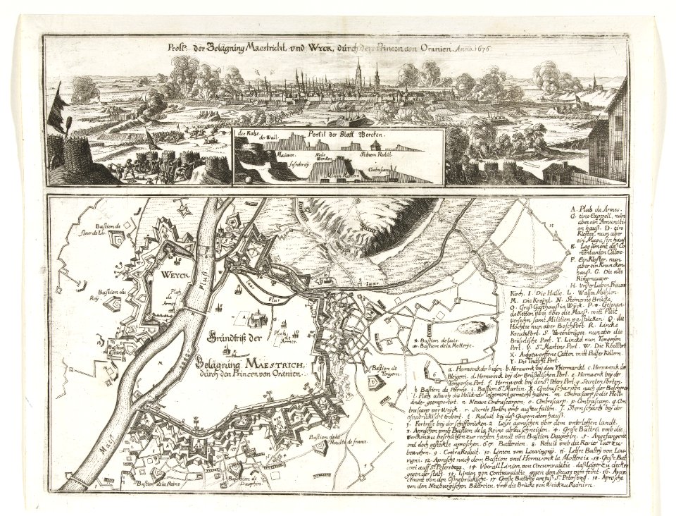
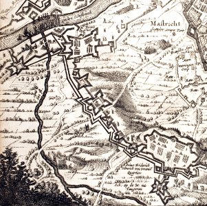
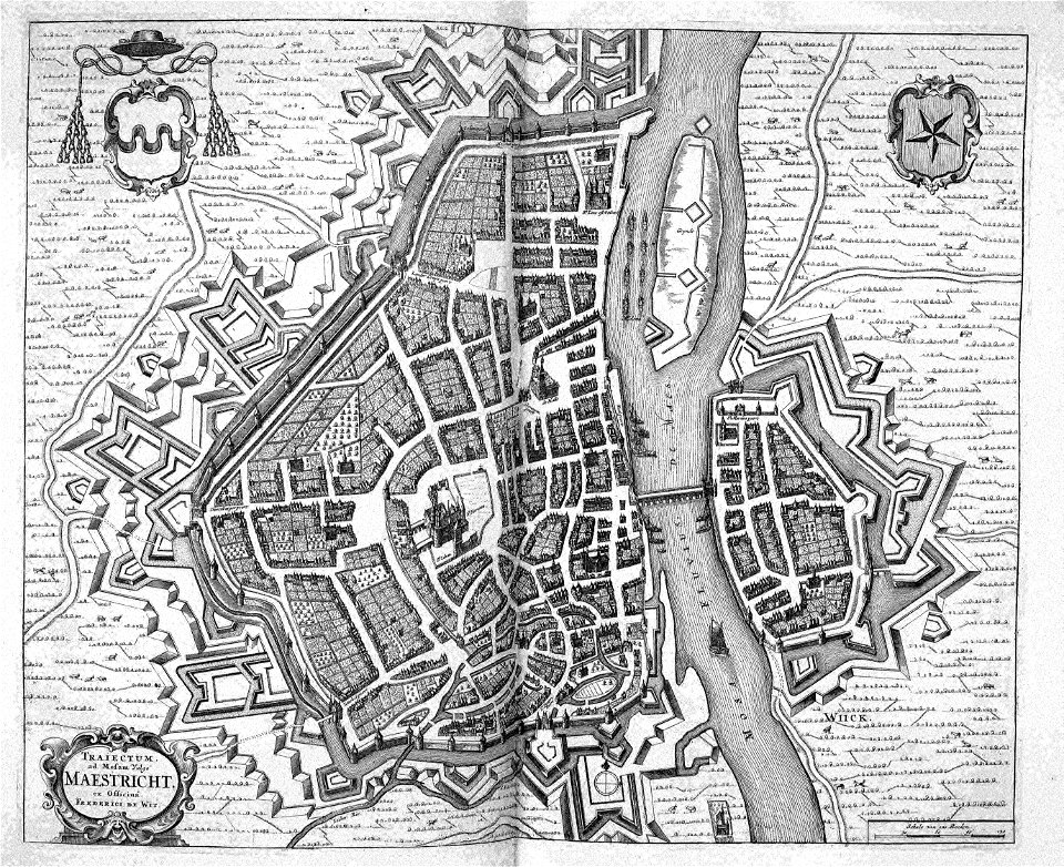
siege of maastricht (1632)
prints from dankaerts historis at the peace palace library
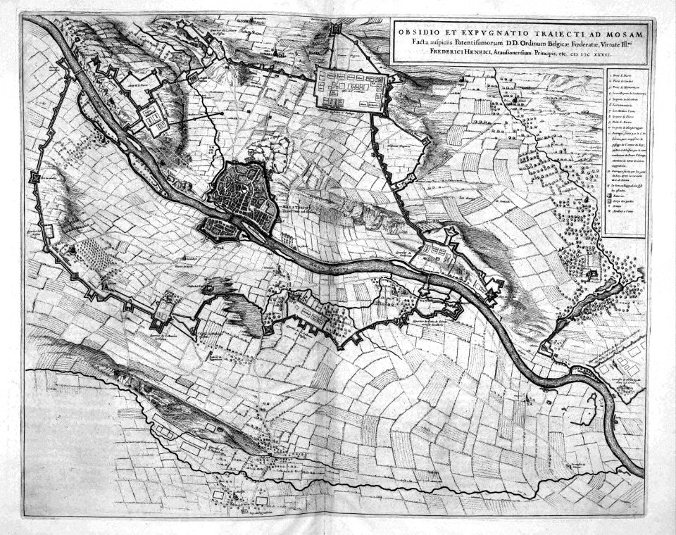
maps of the franco-dutch war
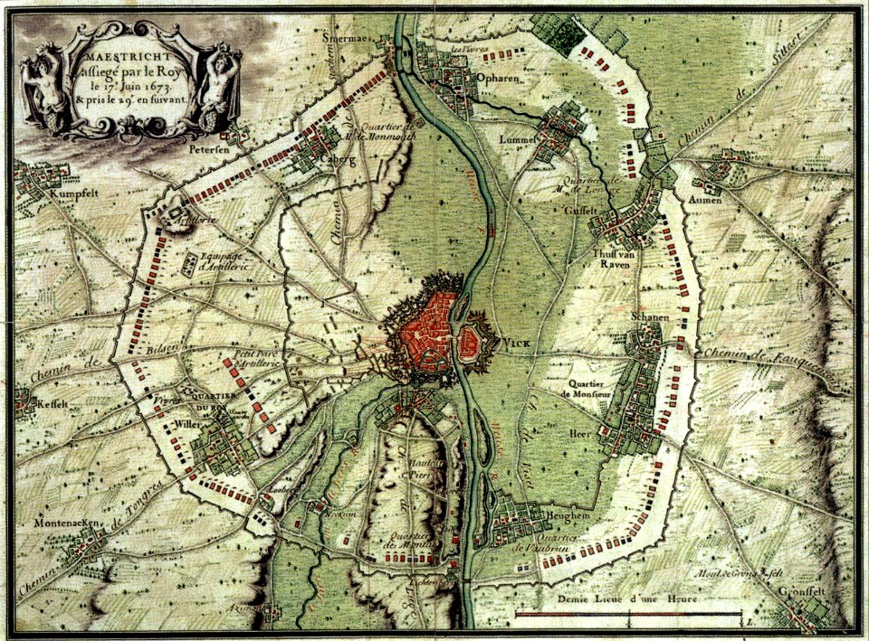
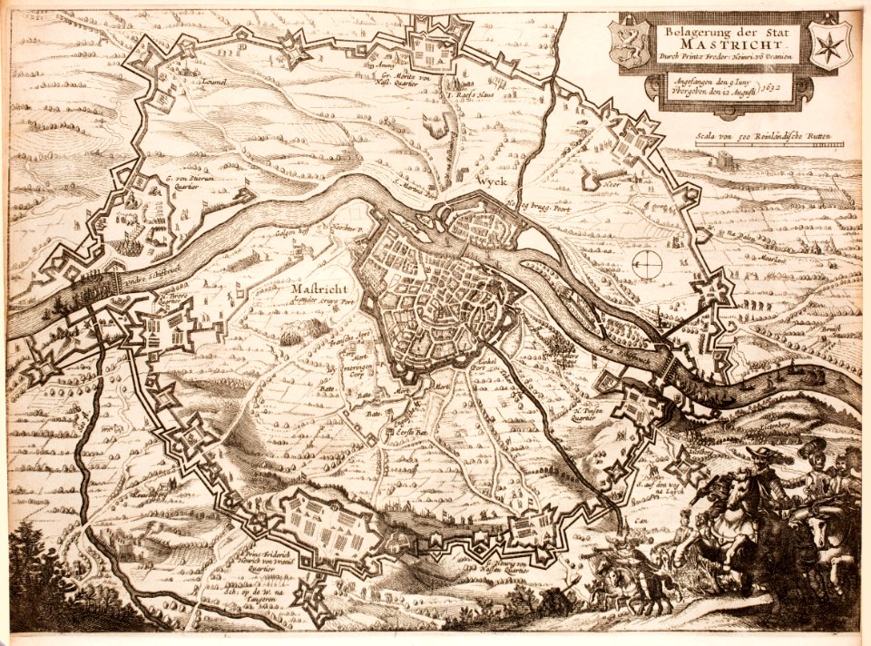
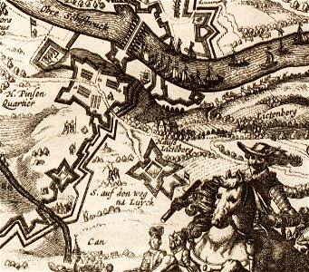
siege of maastricht (1673)
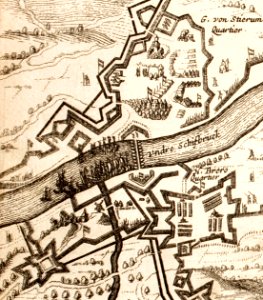
pontoon bridges in the netherlands
atlas beudeker
prints from lambert van den bos van aitzema historien onses tyds at the peace palace library
cartography
engraving
holanda
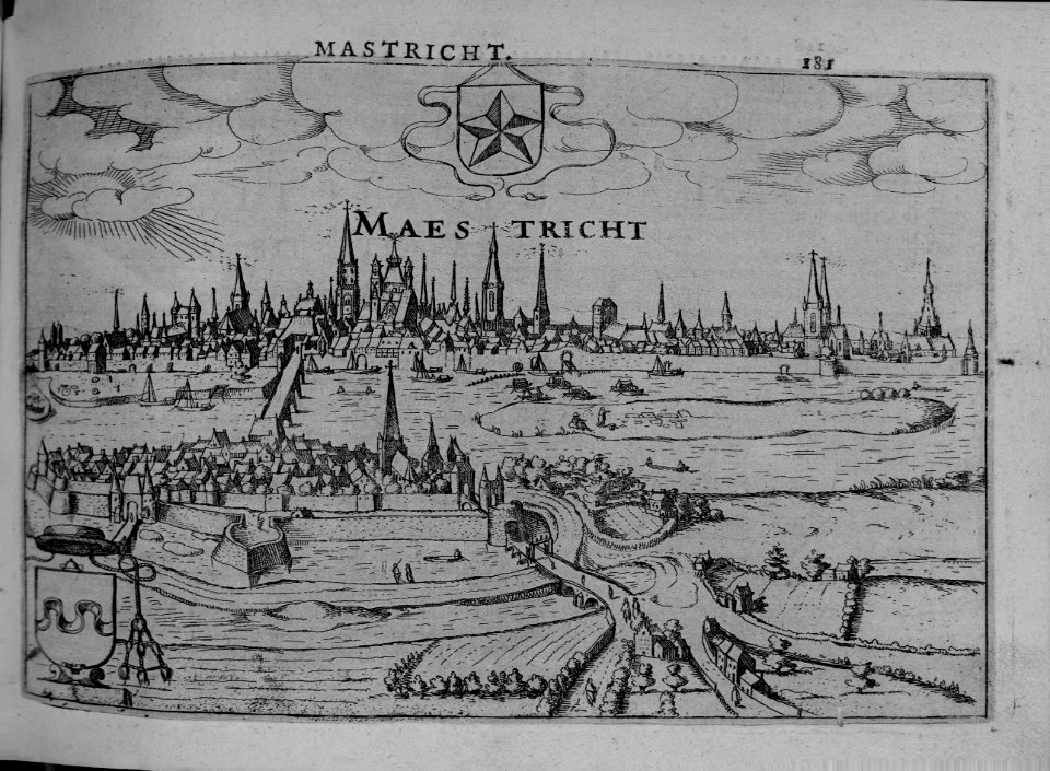
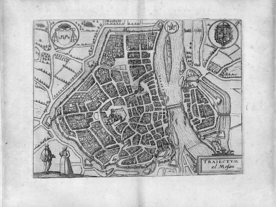
17th-century maps of maastricht
maps of the franco-dutch war
17th-century maps of maastricht
maps of the franco-dutch war
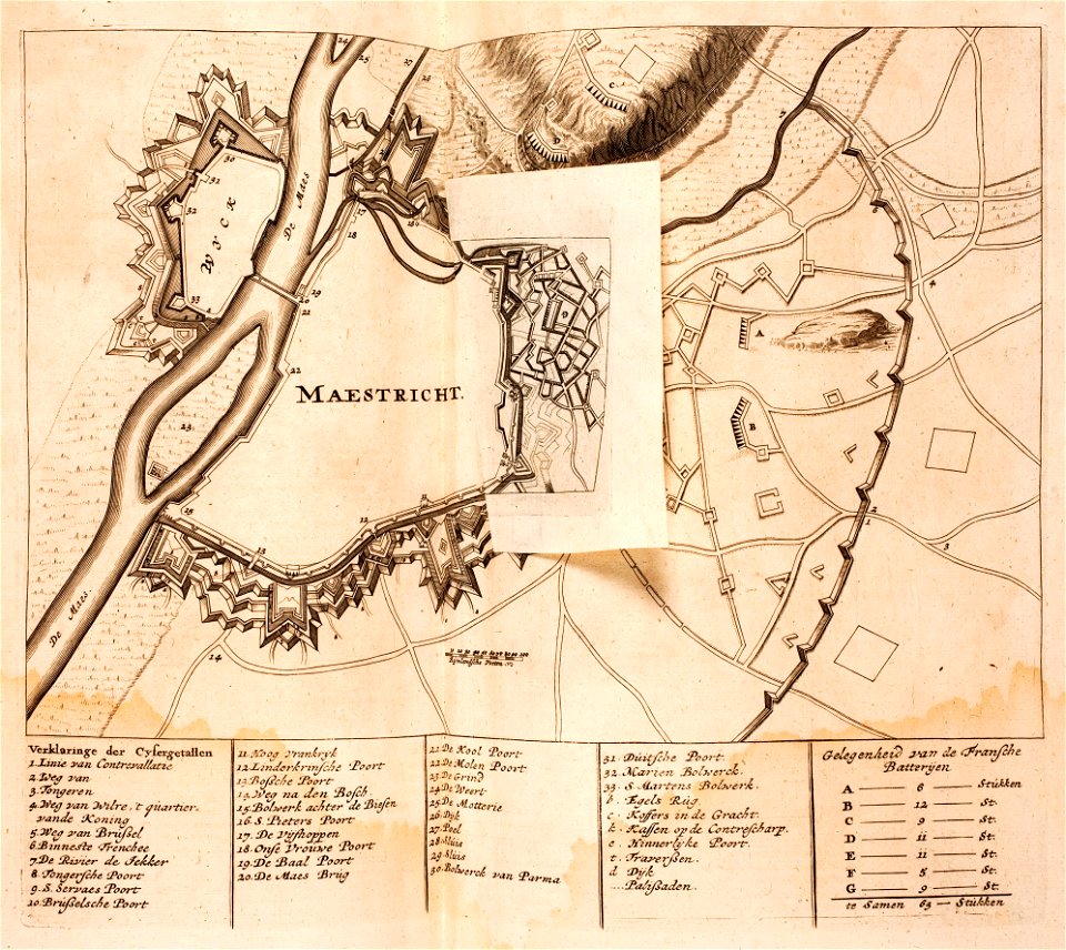
17th-century maps of maastricht
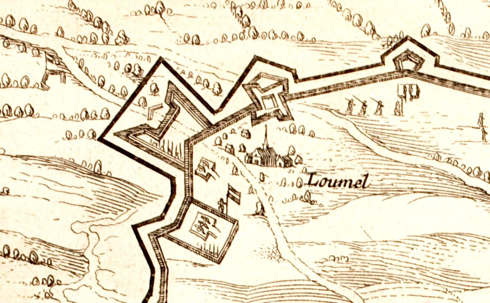
limmel (maastricht)
17th-century maps of maastricht
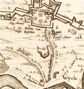
amby (maastricht)
17th-century maps of maastricht
geography of maastricht
17th-century maps of maastricht
pontoon bridge
prints from dankaerts historis at the peace palace library
17th-century maps of maastricht
17th-century maps of maastricht
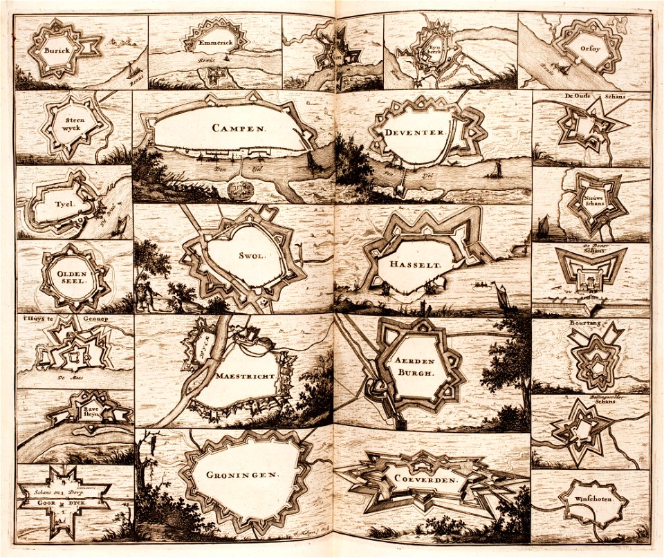
maastricht
17th-century maps of maastricht
atlas beudeker
17th-century maps of maastricht
maps of the franco-dutch war
17th-century maps of maastricht
maps of the franco-dutch war
17th-century maps of maastricht
siege of maastricht (1632)
netherlands
gorredijk
maps
city
cartography
maps
1 - 15 of 15
/ 1