Log in
All resources
Create a design
Tools
200 Free Images of 1866 Maps
cc-zero
pages with maps
maps in the library of congress
uploaded with mobile/android
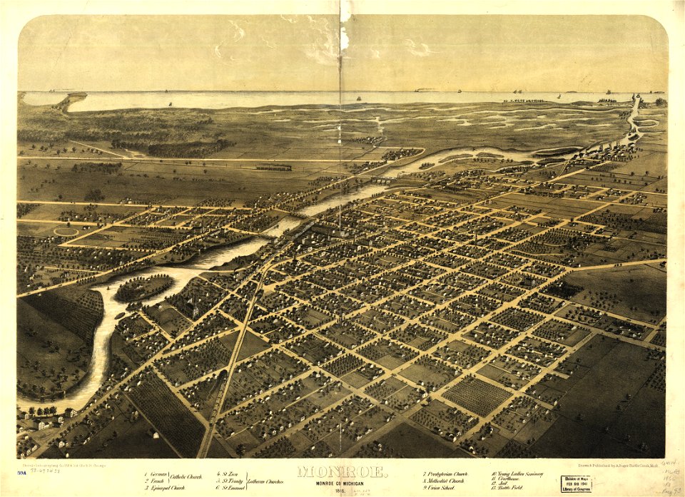
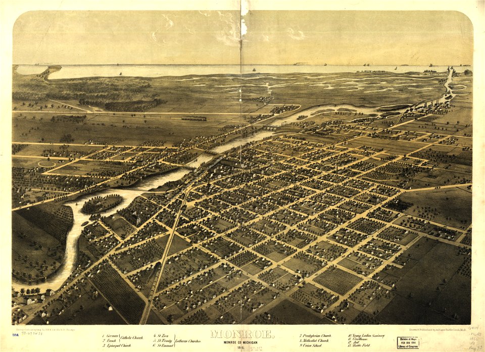
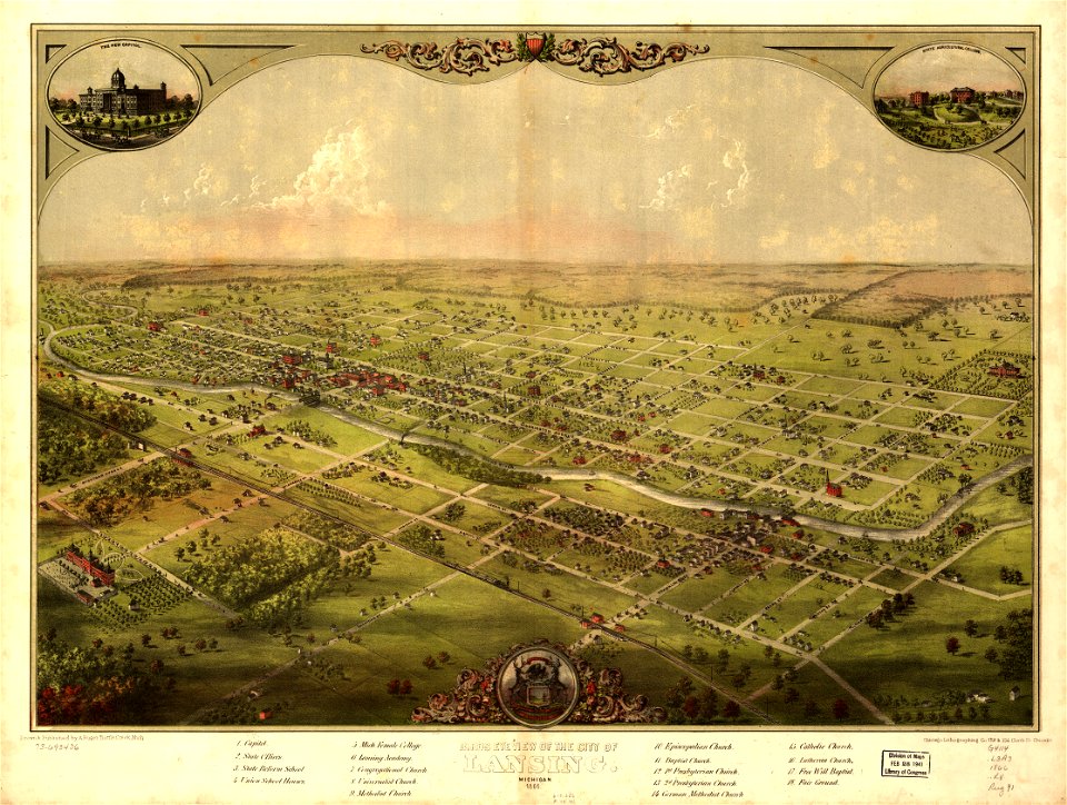
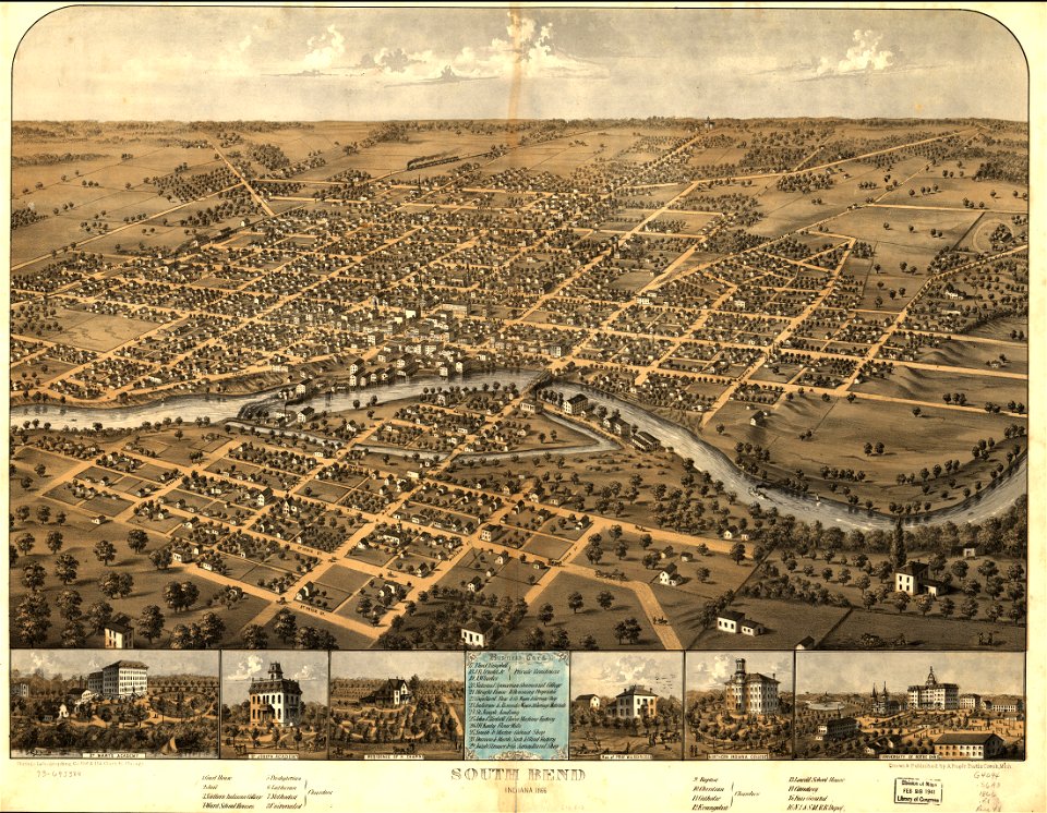
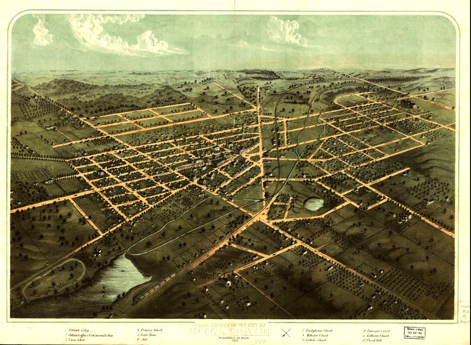
albert ruger
maps from the mechanical curator collection
maps from the mechanical curator collection available to georeference
media lacking a description
battle of roßbrunn
photographs taken on 2019-08-18
maps of del norte county, california
1866 maps of california
maps by joseph hutchins colton
1866 maps of idaho
david rumsey historical map collection
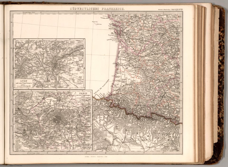
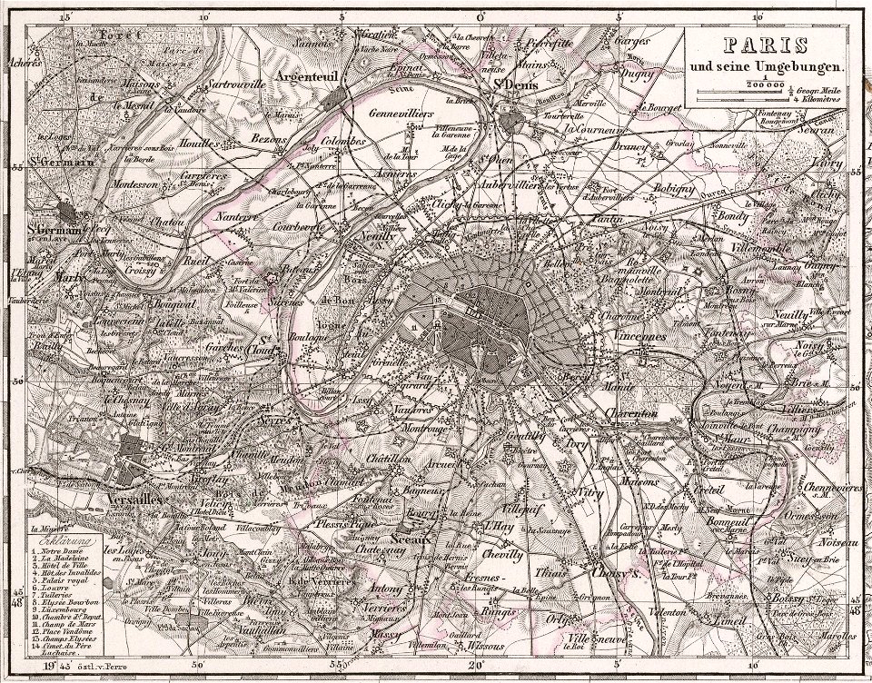
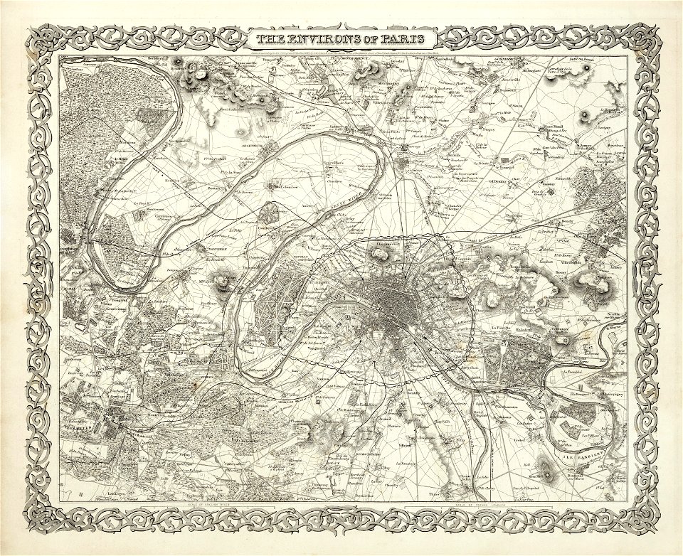
1866 in paris
maps of paris from the david rumsey historical map collection
1866 in paris
maps of paris from the david rumsey historical map collection
1866 in paris
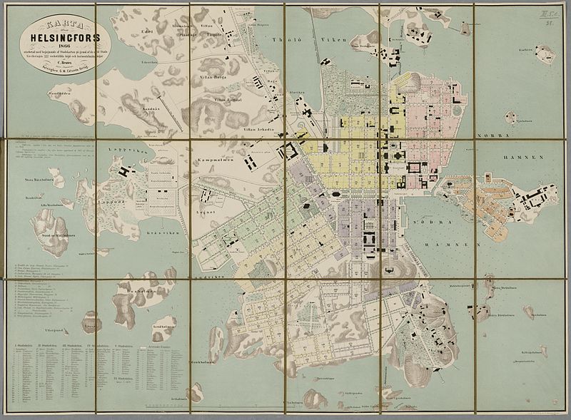
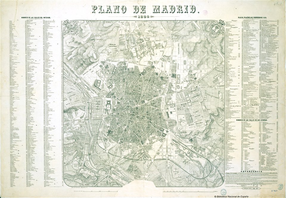
old maps of madrid
1866 maps
maps in the library of congress
albert ruger
maps in the library of congress
albert ruger
maps in the library of congress
albert ruger
maps in the library of congress
albert ruger
maps in the library of congress
albert ruger
maps in the library of congress
albert ruger
maps in the library of congress
albert ruger
maps in the library of congress
albert ruger
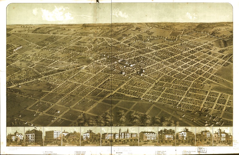
south bend
indiana
maps in the library of congress
albert ruger
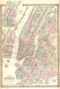
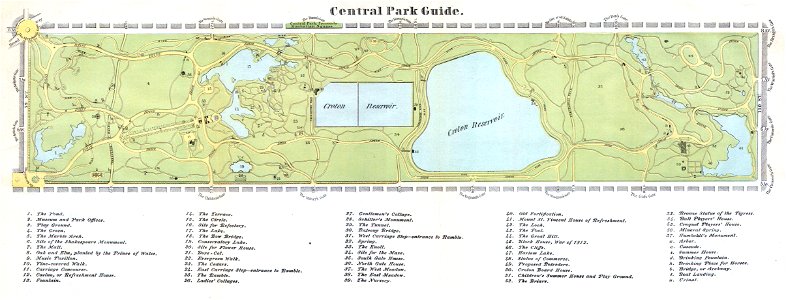
old maps of manhattan
new york city
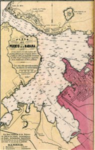
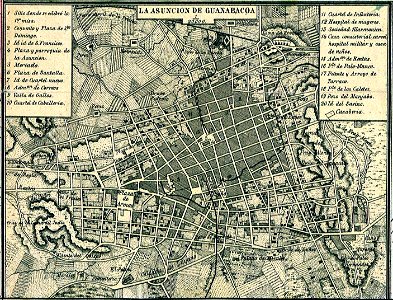
old maps of havana
1866
josé maría de la torre
1866
maps from the mechanical curator collection available to georeference
maps from the mechanical curator collection
australia
maps
old maps of new york city
1865 maps
maps from the mechanical curator collection
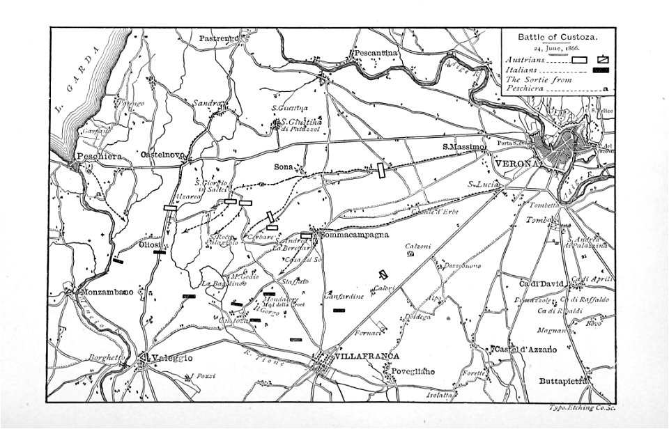
album della guerra del 1866
maps from the mechanical curator collection
old maps of prussia
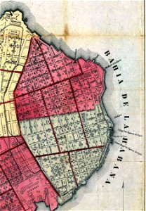
old maps of havana
cuba in the 1860s
maps from the mechanical curator collection
000
maps from the mechanical curator collection available to georeference
maps from the mechanical curator collection
josé maría de la torre
cuba in the 1860s
maps from the mechanical curator collection available to georeference
maps from the mechanical curator collection
maps from the mechanical curator collection available to georeference
maps from the mechanical curator collection
maps from the mechanical curator collection available to georeference
maps from the mechanical curator collection
josé maría de la torre
cuba in the 1860s
maps from the mechanical curator collection
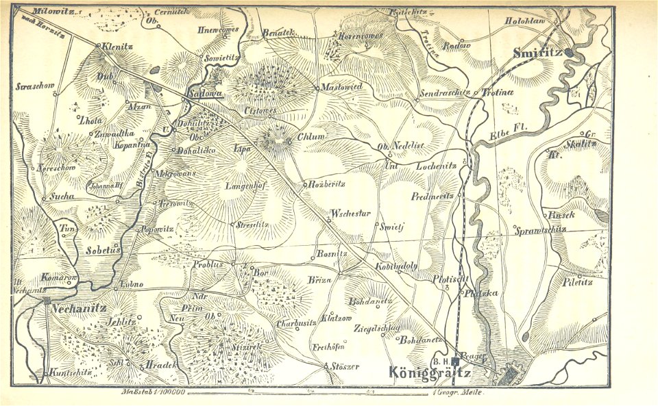
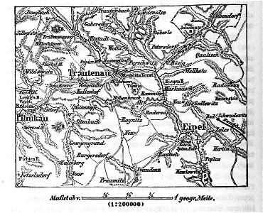
battle of trautenau
maps from the mechanical curator collection available to georeference
maps from the mechanical curator collection
self-published work
pages with maps
printing
1797
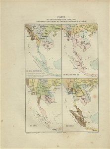
maps of indochina
francis garnier
self-published work
pages with maps
self-published work
pages with maps
teatro tacón
havana
self-published work
pages with maps
self-published work
pages with maps
self-published work
pages with maps
old maps of cambodia
francis garnier
media lacking a description
self-published work
media lacking a description
self-published work
rock
lawn
architecture
town
architecture
town
media lacking a description
self-published work
media lacking a description
self-published work
media lacking a description
self-published work
self-published work
pages with maps
media lacking a description
self-published work
media lacking a description
self-published work
self-published work
pd us expired
self-published work
architecture
self-published work
architecture
black and white
monochrome
self-published work
tree
media from the national library of finland
classicism
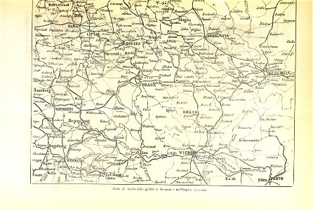
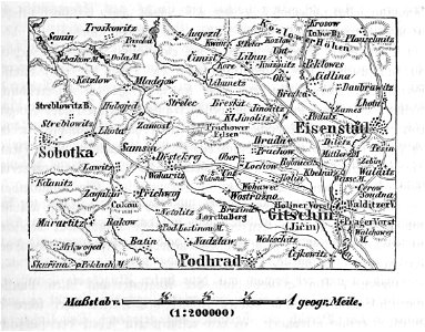
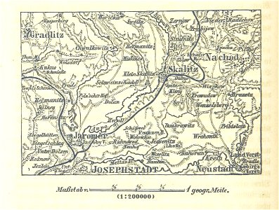
maps of austro-prussian war
old maps of croatia
maps of the western ghats
maps of rivers of india
great fire of 1866 in quebec city
19th-century maps of quebec city
gemeente atlas van nederland - drenthe
drenthe
gemeente atlas van nederland - limburg
19th-century maps of maastricht
1866 in the netherlands
maps of almelo
maps of werkendam
maps of dussen
gemeente atlas van nederland - south holland
1860s maps of south holland
maps of hooge zwaluwe
maps of lage zwaluwe
gemeente atlas van nederland - south holland
maps of zuidland
maps of aa en hunze
anloo
maps of landgraaf
rimburg
gemeente atlas van nederland - groningen
old maps of groningen (city)
chimborazo hospital, richmond
freedmen's bureau
gemeente atlas van nederland - south holland
1860s maps of south holland
gemeente atlas van nederland - friesland
old maps of leeuwarden
gemeente atlas van nederland - groningen
maps of appingedam
aerial views of amherst, massachusetts
town maps by l. r. burleigh
maps of austro-prussian war
old maps of czechia
gemeente atlas van nederland - north holland
maps of middelie
gemeente atlas van nederland - north holland
maps of oosthuizen
gemeente atlas van nederland - north holland
maps of ursem
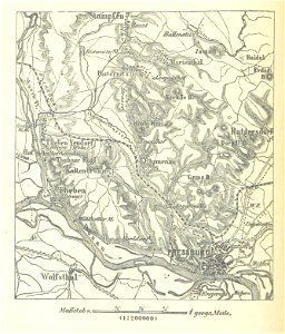
maps in the library of congress
1866 maps of pennsylvania
gemeente atlas van nederland - north holland
maps of midwoud
gemeente atlas van nederland - north holland
maps of sijbekarspel
gemeente atlas van nederland - north holland
maps of jisp
gemeente atlas van nederland - north holland
old maps of monnickendam
gemeente atlas van nederland - south holland
19th-century maps of rotterdam
gemeente atlas van nederland - north brabant
mill, netherlands
gemeente atlas van nederland - south holland
maps of hellevoetsluis
gemeente atlas van nederland - south holland
1860s maps of south holland
gemeente atlas van nederland - south holland
1860s maps of south holland
gemeente atlas van nederland - south holland
1860s maps of south holland
gemeente atlas van nederland - north brabant
maps of cuijk
gemeente atlas van nederland - north brabant
maps of sint-michielsgestel
gemeente atlas van nederland - south holland
1860s maps of south holland
gemeente atlas van nederland - north brabant
drongelen
gemeente atlas van nederland - north brabant
maps of deurne, netherlands
gemeente atlas van nederland - north brabant
diessen
1 - 100 of 200
Next page
/ 2


![Johnson's Western Hemisphere [and] Johnson's Eastern Hemisphere (1866) by Johnson and Ward.](https://cdn.creazilla.com/illustrations/1955988/johnson-s-western-hemisphere-and-johnson-s-eastern-hemisphere-1866-by-johnson-an-sm.jpeg)