Log in
All resources
Create a design
Tools
771 Free Images of 1881 Maps
maps from the earth and its inhabitants, vol. iv
pages with maps
cc-zero
maps in the library of congress
architecture
o. h. bailey
national register of historic places with known ids
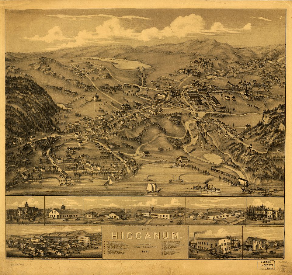
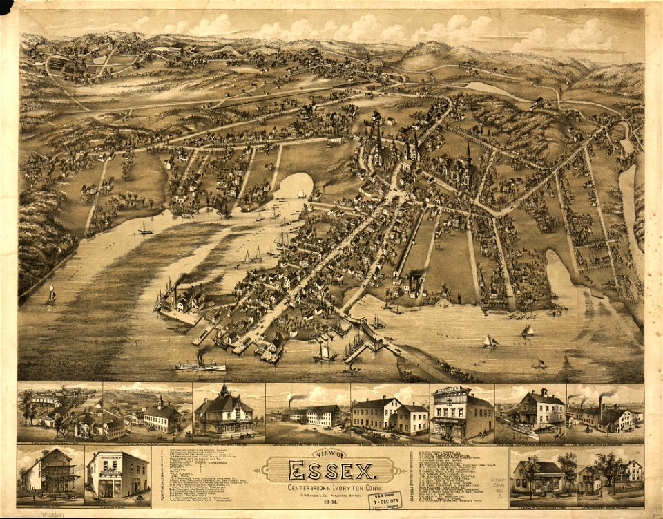
old maps of connecticut
topographischer atlas der schweiz
town
overwintering on nova zembla by willem barentsz, 1596-1597
maps in the rijksmuseum amsterdam
self-published work
architecture
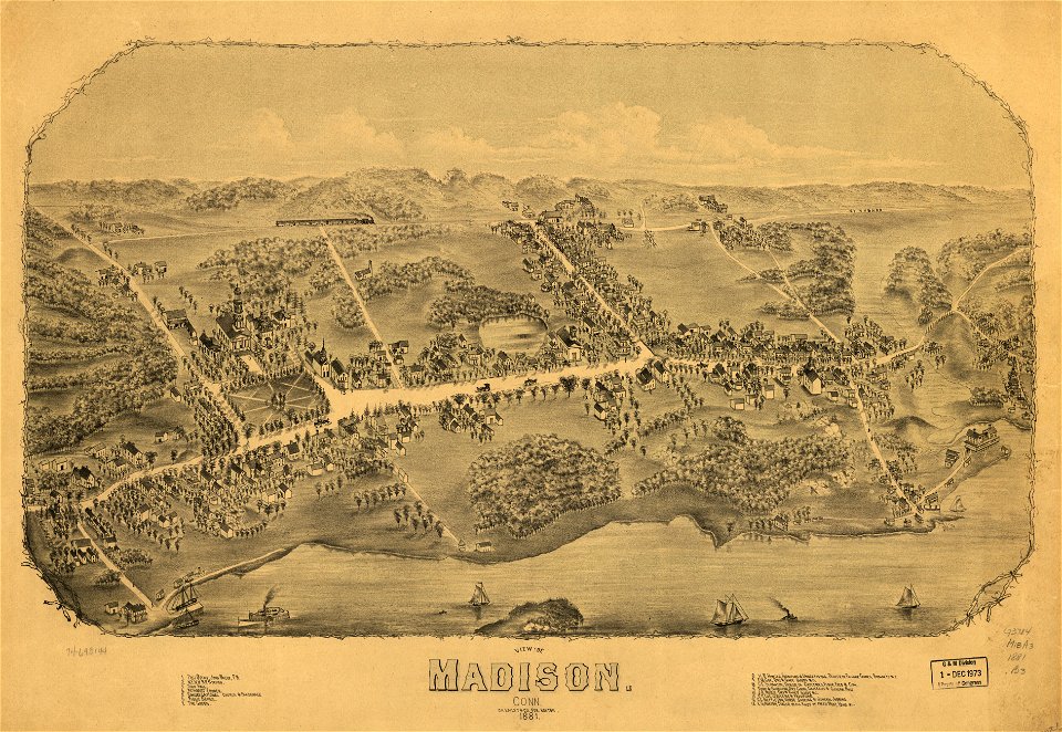
old maps of connecticut
o. h. bailey
old maps of connecticut
o. h. bailey
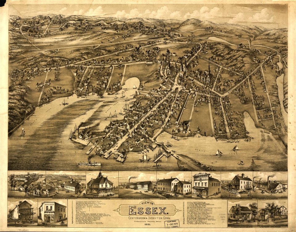
old maps of connecticut
o. h. bailey
old maps of connecticut
o. h. bailey
old maps of connecticut
o. h. bailey
old maps of connecticut
o. h. bailey
maps in the library of congress
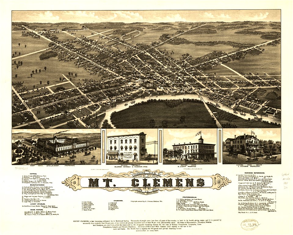
old maps of michigan
maps in the library of congress
old maps of michigan
maps in the library of congress
o. h. bailey
maps in the library of congress
1881 maps
maps in the library of congress
1881 maps
maps in the library of congress
o. h. bailey
maps in the library of congress
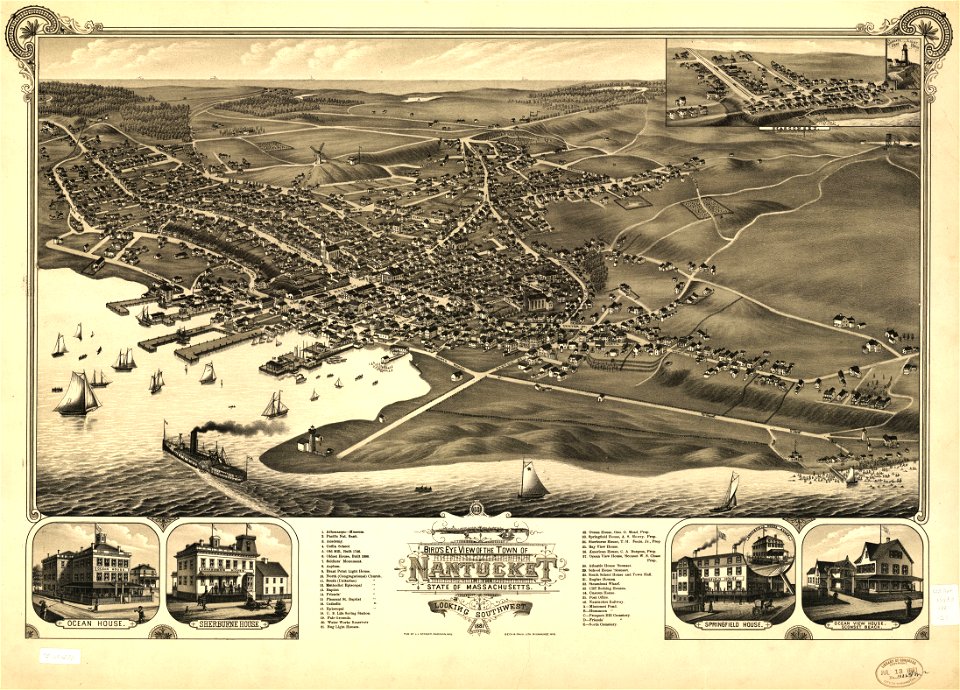
massachusetts
maps in the library of congress
massachusetts
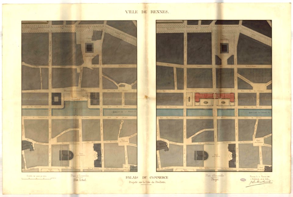
jean-baptiste martenot
rennes in the 1880s
earth
maps
maps from the mechanical curator collection
old maps of nepal
maps
land
globe
maps
self-published work
light
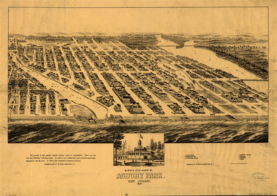
historical images of ocean grove
new jersey
self-published work
pages with maps
self-published work
lawn
self-published work
town
historical images of ocean grove
new jersey
self-published work
pages with maps
uploaded with vicuñauploader
pages with maps
architecture
roof
self-published work
pages with maps
winter
tree
self-published work
grass
self-published work
lawn
architecture
city
printing
1863
self-published work
architecture
self-published work
architecture
architecture
town
self-published work
pages with maps
self-published work
pages with maps
pavement
town
architecture
roof
maps in the library of congress
history of sherbrooke (quebec)
architecture
village
kolk (rotterdam)
baroque
history of sherbrooke (quebec)
1881 in quebec
self-published work
architecture
saigon during the french colonial period
citadel of saigon
topographischer atlas der schweiz
maps of winterthur quarters
19th-century maps of russia
russia in the 1860s
topographischer atlas der schweiz
old maps of zollikon
topographischer atlas der schweiz
old maps of zürich
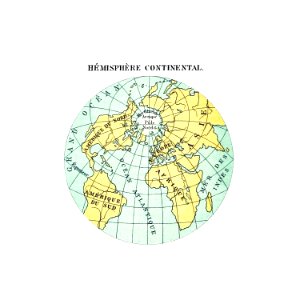
maps from the earth and its inhabitants, vol. iv
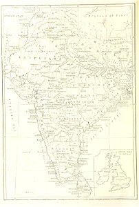
geological maps of the united kingdom
topographischer atlas der schweiz
maps wohlen, aargau
topographischer atlas der schweiz
old maps of zollikerberg
maps from the earth and its inhabitants, vol. iv
1880s maps of england
old maps of south africa
1879 maps of africa
maps from the earth and its inhabitants, vol. iv
topographic maps of scotland
maps from the earth and its inhabitants, vol. iv
old maps of kingston upon hull
maps from the earth and its inhabitants, vol. iv
old maps of the east riding of yorkshire
géographie du département d'ille-et-vilaine (1881)
19th-century maps of ille-et-vilaine
maps from the earth and its inhabitants, vol. iv
1880s maps of ireland
maps from the earth and its inhabitants, vol. iv
turlough
old maps of south africa
emil holub
kaart van suriname naar opmetingen gedaan in de jaren 1860-1879
albina, suriname
maps from the earth and its inhabitants, vol. iv
kingsmead, bath
maps from the earth and its inhabitants, vol. iv
ragstone
maps from the earth and its inhabitants, vol. iv
amesbury
maps from the earth and its inhabitants, vol. iv
maritime maps of the united kingdom
maps from the earth and its inhabitants, vol. iv
19th-century maps of surrey
maps from the earth and its inhabitants, vol. iv
1880s maps of london
maps from the earth and its inhabitants, vol. iv
maps of penzance
masonic temple, boston (boylston street: 1867)
maps from the earth and its inhabitants, vol. iv
old maps of cardiff
maps from the earth and its inhabitants, vol. iv
maps of balmoral castle
maps from the earth and its inhabitants, vol. iv
old maps of hastings, england
eran laor cartographic collection
edward weller
historical
history
sherbrooke, quebec
henry wellge
maps from the earth and its inhabitants, vol. iv
1881 maps
maps from the earth and its inhabitants, vol. iv
falmouth bay
eran laor cartographic collection
william hughes (geographer)
maps from the earth and its inhabitants, vol. iv
montrose, angus
maps from the earth and its inhabitants, vol. iv
milford haven
maps from the earth and its inhabitants, vol. iv
dublin bay
picturesque palestine, sinai, and egypt (nypl scan)
orientalism
eran laor cartographic collection
edward weller
old maps of south africa
emil holub
maps from the earth and its inhabitants, vol. iv
19th-century maps of the isle of wight
maps from the earth and its inhabitants, vol. iv
old maps of portsmouth
maps from the earth and its inhabitants, vol. iv
1880s maps of the british isles
maps from the earth and its inhabitants, vol. iv
old maps of the isles of scilly
maps from the earth and its inhabitants, vol. iv
1880s maps of the british isles
maps from the earth and its inhabitants, vol. iv
old maps of the isle of arran
maps from the earth and its inhabitants, vol. iv
old maps of lincoln
maps from the earth and its inhabitants, vol. iv
19th-century maps of the isle of man
maps from the earth and its inhabitants, vol. iv
old maps of sheffield
maps from the earth and its inhabitants, vol. iv
old maps of cromartyshire
maps from the earth and its inhabitants, vol. iv
old maps of derby
1 - 100 of 771
Next page
/ 8