Log in
All resources
Create a design
20 Free Images of 19th Century Maps Of The Americas
1855 maps
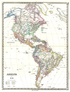
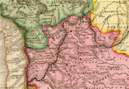
1810s maps of south america
1814 maps
maps in the library of congress
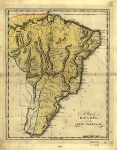
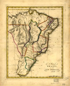
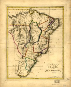
19th-century maps of brazil
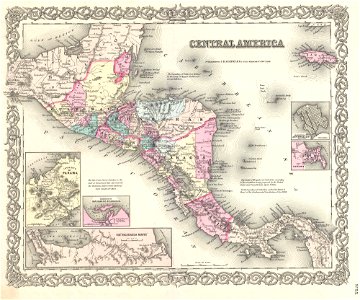
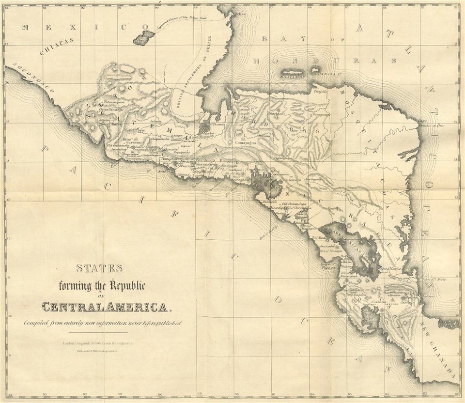
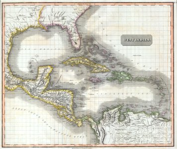
19th-century maps of central america
maps by joseph hutchins colton
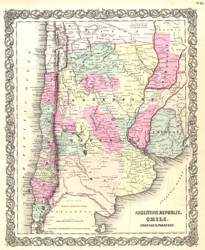
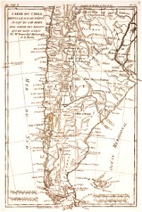
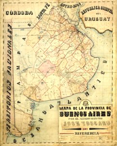
19th-century maps of argentina
english-language maps
maps by john thomson
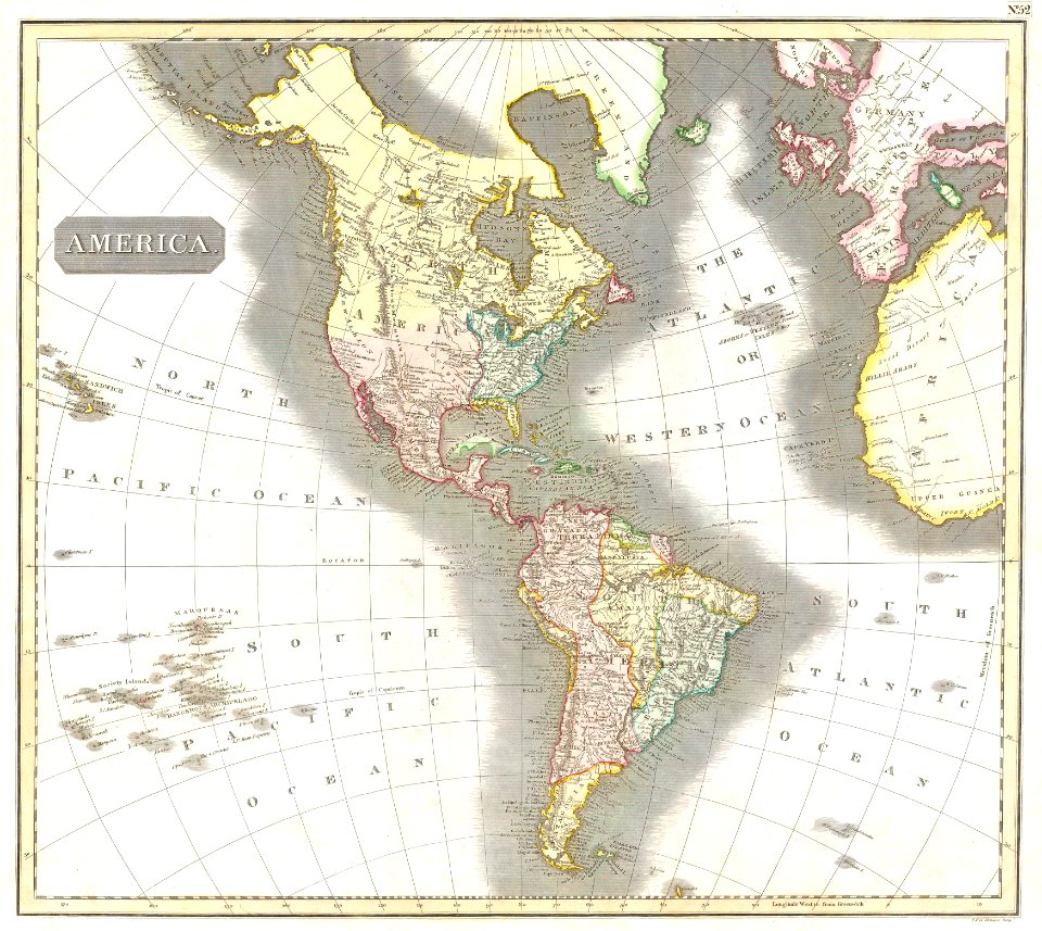
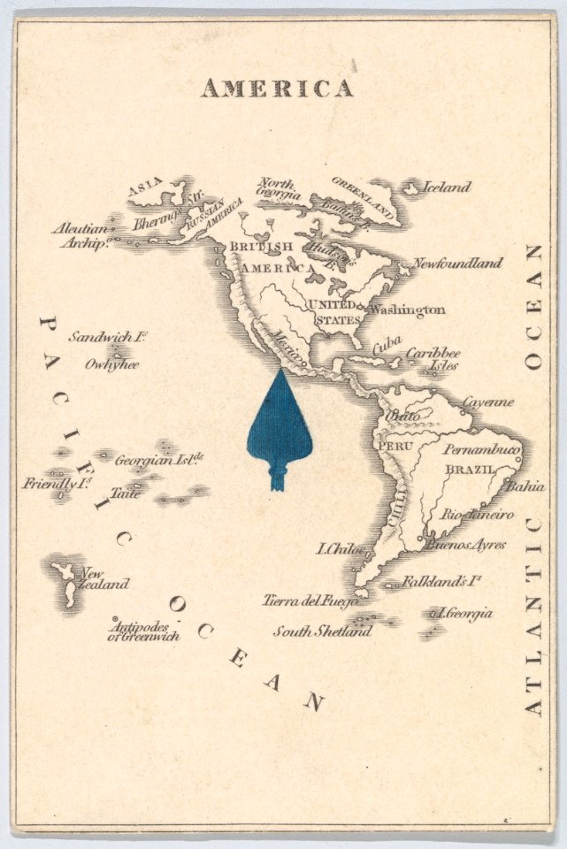
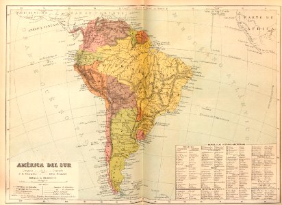
19th-century maps of the americas
english-language maps
19th-century maps of central america
1855 maps
19th-century maps of the americas
karl spruner von merz
19th-century maps of the americas
karl spruner von merz
19th-century maps of argentina
old maps of uruguay
maps from the mechanical curator collection
19th-century maps of central america
english-language maps
1814 maps
maps in the library of congress
19th-century maps of brazil
maps in the library of congress
19th-century maps of brazil
maps in the library of congress
19th-century maps of brazil
maps in the library of congress
19th-century maps of brazil
19th-century maps of the spanish empire
1810s maps of south america
illustrations from césar cascabel by george roux
19th-century maps of the americas
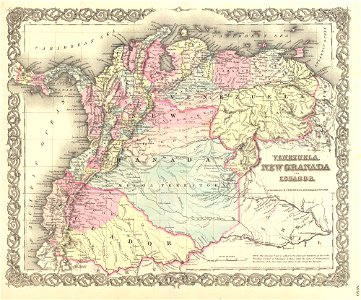
old maps of the history of venezuela
1855 maps
19th-century maps of argentina
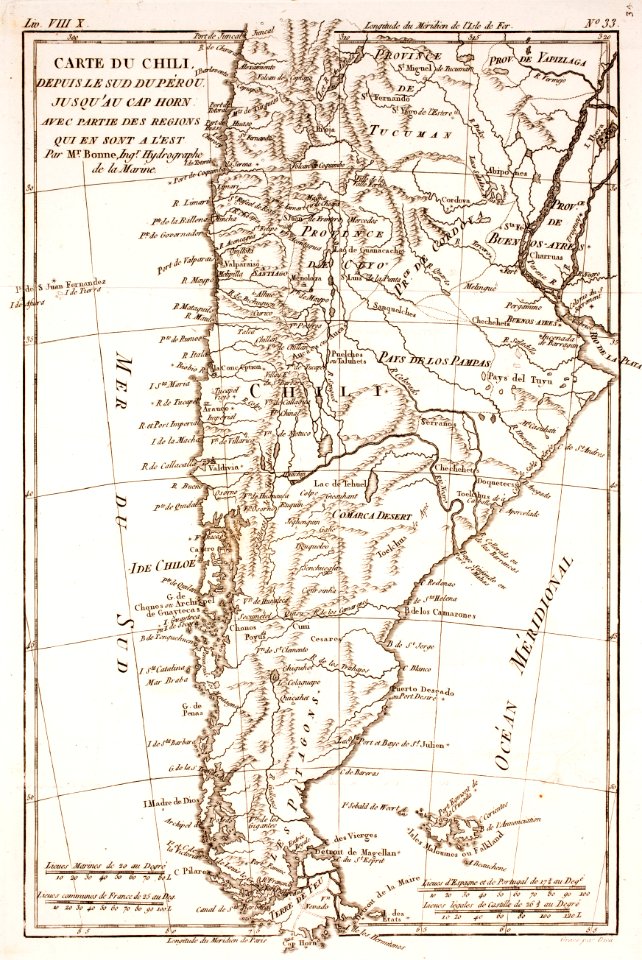
1780 in south america
19th-century maps of the americas
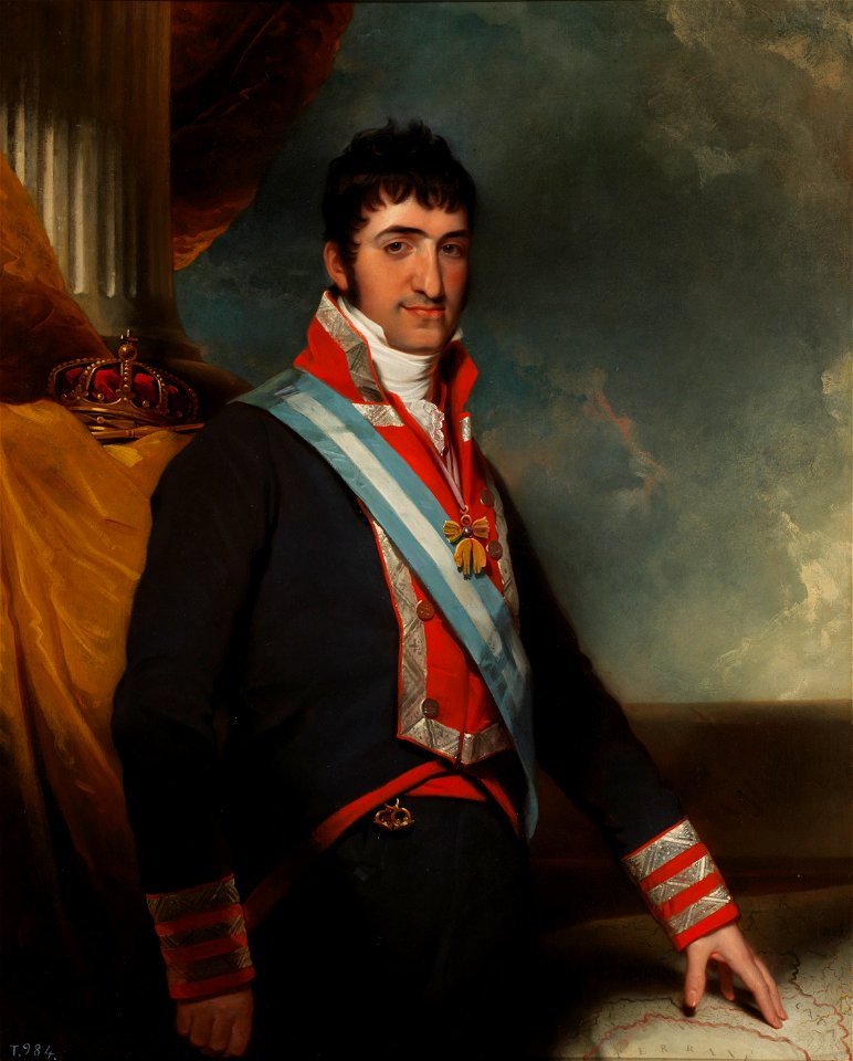
artworks without wikidata item
draped columns on pedestals in portrait paintings
attributed portrait paintings
historical
history
travel
maps
historical
history
1 - 20 of 20
/ 1