Log in
All resources
Create a design
1,090 Free Images of Archipelago
bibliothèque nationale de france
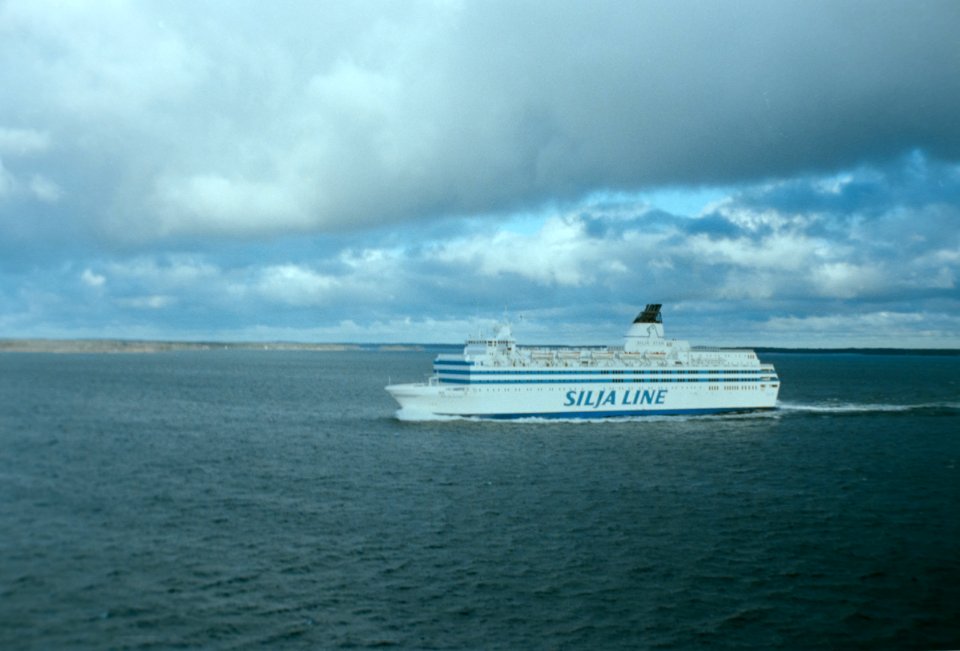
ship
water
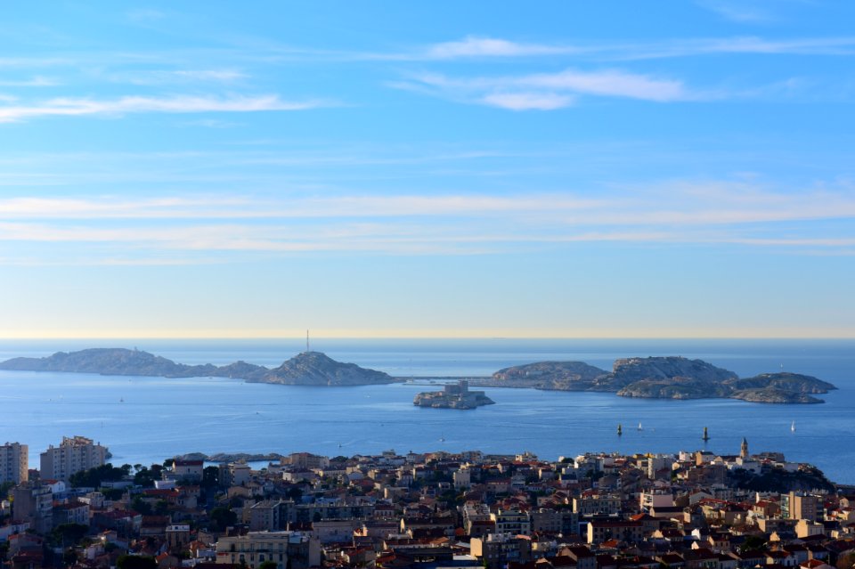
islands
sea
ocean
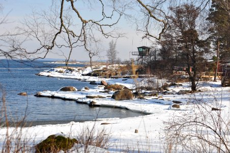
finland
boat
film
analog
old maps of farmakonisi
old maps of agathonisi
19th-century maps of the malay archipelago
a system of modern geography (1810)
maps by willem and johannes blaeu
1638 maps of asia
maps by pieter mortier
maps from gallica
atlas maior, vol 2 (sweden, russia, poland, eastern europe, and greece) - joan blaeu, 1667 - bl 114.h(star).2
17th-century maps of the aegean sea
the zoology of the voyage of h.m.s. beagle. part 3. birds. 1838–1841 (john gould)
buteo galapagoensis (illustrations)
bibliothèque nationale de france
guillaume sanson
maps of the islands of greece by marco boschini (1658)
agathonisi
landscape
sea
atlas maior, vol 2 (sweden, russia, poland, eastern europe, and greece) - joan blaeu, 1667 - bl 114.h(star).2
17th-century maps of the aegean sea
prints by jan luyken in the rijksmuseum amsterdam
maps in the rijksmuseum amsterdam
cartouches by willem and johannes blaeu
bibliothèque nationale de france
bird
army
1785 in sweden
elias martin
our arctic province, alaska and the seal islands (1886)
old maps of alaska
maps of the islands of greece by marco boschini (1658)
context files from gallica
1667 map of madagascar by guillaume sanson
bibliothèque nationale de france
maps by willem and johannes blaeu
17th-century maps of bermuda
juan de la cruz cano y olmedilla
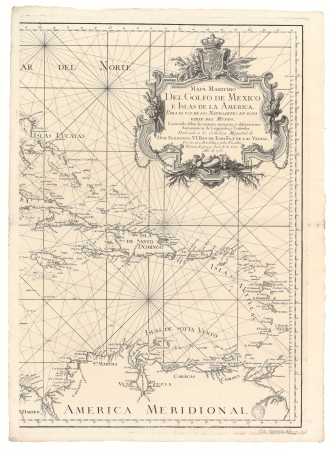
1750s maps of the caribbean
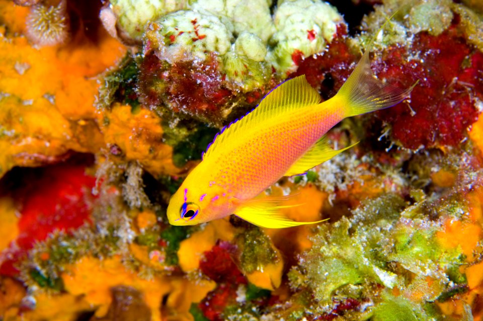
underwater
fish
winter
boat
voyages de la commission scientifique du nord, en scandinavie, en laponie, au spitzberg et aux feröe
historical images of stockholm archipelago
atlas ou representation du monde universel t. 2 (1633)
17th-century maps of southeast asia
our arctic province, alaska and the seal islands (1886)
old maps of alaska
19th-century maps of the malay archipelago
the cruise of the marchesa (1889)
historical
history
nelle presenti tre tavole sono descritte le marine secondo le carte da navicar et fra terra secondo i migliori scrittori antichi et moderni, con fumi, monti, laghi, mari, citta, provincie et capi principale... - btv1b8468487h
bibliothèque nationale de france
nelle presenti tre tavole sono descritte le marine secondo le carte da navicar et fra terra secondo i migliori scrittori antichi et moderni, con fumi, monti, laghi, mari, citta, provincie et capi principale... - btv1b8468487h
bibliothèque nationale de france
carte du mexique et de la floride by guillaume delisle (1703)
bibliothèque nationale de france
1667 map of madagascar by guillaume sanson
bibliothèque nationale de france
nelle presenti tre tavole sono descritte le marine secondo le carte da navicar et fra terra secondo i migliori scrittori antichi et moderni, con fumi, monti, laghi, mari, citta, provincie et capi principale... - btv1b8468487h
bibliothèque nationale de france
maps of the islands of greece by marco boschini (1658)
old maps of dipso, crusia, tragia, forni, mandria
bibliothèque nationale de france
guillaume sanson
nature
sea
creta insula plerumq deum natalibus, iovis iincunabulis, sepulchrocq - inclyta - adventu europae, minoe rege, pasiphaes et aridnae amoribus - minotavri feritate, fatoq - dardali labyrintho, et fuga -... - btv1b53214060x
guillaume sanson
viking
house
14th-century illuminated manuscripts from spain
jong (ship)
carte du mexique et de la floride by guillaume delisle (1703)
bibliothèque nationale de france
18th-century maps of the indian ocean
18th-century maps of southeast asia
18th-century maps of borneo
1780s maps of indonesia
boat
sea
carte particulière des costes de l'afrique qui comprend le royaume de cacheo, le province de gelofo etc. - btv1b8595501g
maps by pieter mortier
carta hydrographica y chorographica de las yslas filipinas
baroque painting
baroque painting
animals on maps
18th-century maps of the aegean sea
jean-fréderic phélypeaux
paintings by christoffer wilhelm eckersberg in the statens museum for kunst
danish golden age
voyages and travels to india, ceylon, the red sea, abyssinia, and egypt, vol. 2
henry cooper (engraver)
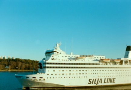
boat
sea
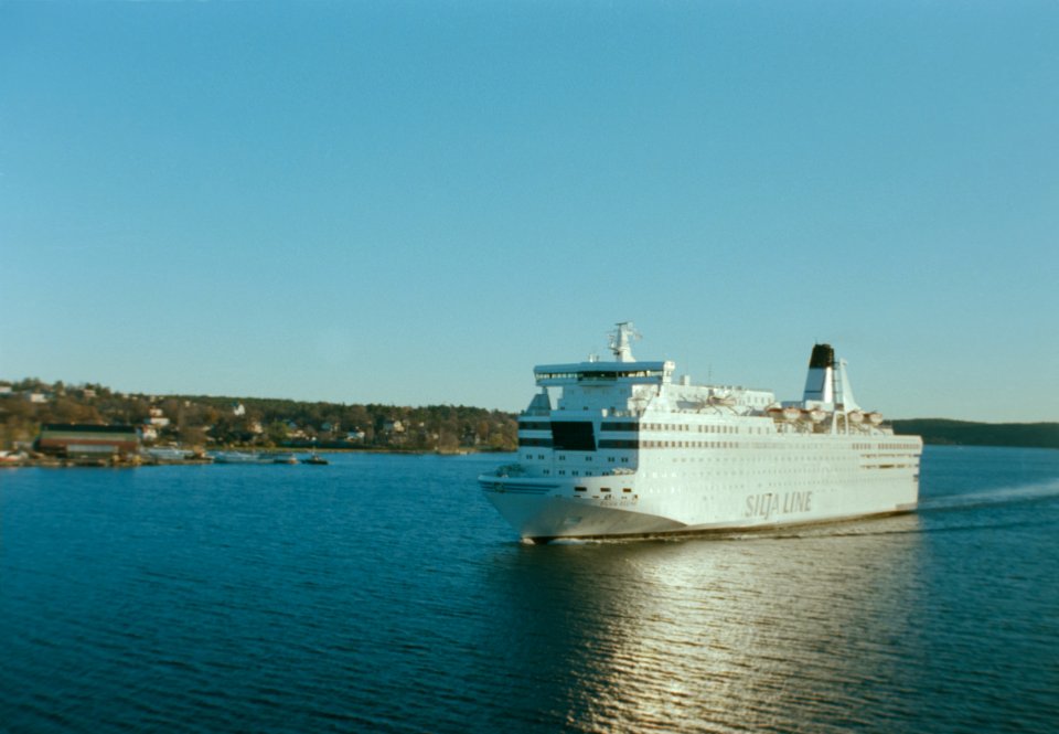
vehicle
water
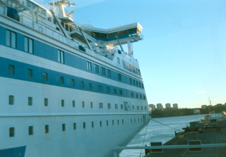
vehicle
water
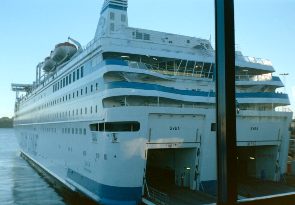
vehicle
water
vehicle
water
voyages and travels to india, ceylon, the red sea, abyssinia, and egypt, vol. 3
henry cooper (engraver)
carte du mexique et de la floride by guillaume delisle (1703)
bibliothèque nationale de france
19th-century maps of the malay archipelago
19th-century maps of southeast asia
building
skyline
a map of the british empire in america with the french and spanish settlements adjacent thereto
bibliothèque nationale de france
a map of the british empire in america with the french and spanish settlements adjacent thereto
bibliothèque nationale de france
a map of the british empire in america with the french and spanish settlements adjacent thereto
bibliothèque nationale de france
cerambycidae of indonesia
nature of sarawak
a map of the british empire in america with the french and spanish settlements adjacent thereto
bibliothèque nationale de france
a map of the british empire in america with the french and spanish settlements adjacent thereto
bibliothèque nationale de france
maps by jean-baptiste bourguignon d'anville
1750s maps of the caribbean
agustín vial santelices
narciso desmadryl
building
skyline
landscape paintings by anders zorn
impressionism
1790s maps of central america
1790s maps of cuba
18th-century maps of the malay archipelago
maps in the rijksmuseum amsterdam
building
skyline
chesma battle paintings, by jacob philipp hackert
classicism
building
skyline
building
skyline
a map of the british empire in america with the french and spanish settlements adjacent thereto
bibliothèque nationale de france
building
skyline
voyages and travels to india, ceylon, the red sea, abyssinia, and egypt, vol. 2
henry cooper (engraver)
islas desventuradas
josé del pozo
voyages and travels to india, ceylon, the red sea, abyssinia, and egypt, vol. 3
henry cooper (engraver)
lithographs in the rijksmuseum amsterdam
published by frans buffa & zonen
lithographs in the rijksmuseum amsterdam
published by frans buffa & zonen
maps in the rijksmuseum amsterdam
17th-century maps of south asia
prints of cartouches in the rijksmuseum amsterdam
maps in the rijksmuseum amsterdam
brochure
draft
pieter willem marinus trap
sulu archipelago
maps of novaya zemlya
1590s maps
18th-century maps of the malay archipelago
18th-century maps of southeast asia
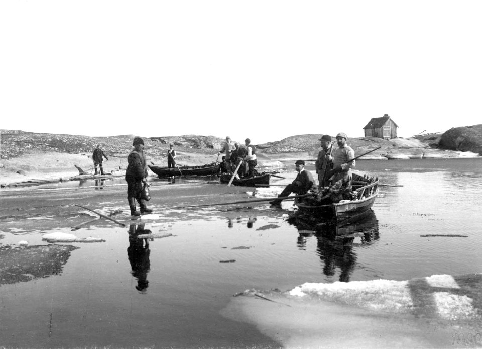
paintings by arvid liljelund
1880 paintings from finland
1901 diário de notícias (madeira)
1901-07-26
1760s maps of the americas
jean janvier
mappe-monde geo-hydrographique (sanson and jaillot, 1674)
cartography of france
mappe-monde geo-hydrographique (sanson and jaillot, 1674)
1001 - 1090 of 1,090
/ 11


![The Kingdom of Siam with its tributary kingdoms and the islands of Sumatra, Andemaon and the neighboring islands [sic], 1705](https://cdn.creazilla.com/illustrations/10000834338/the-kingdom-of-siam-with-its-tributary-kingdoms-and-the-islands-of-sumatra-andemaon-and-the-neighboring-islands-sic-1705-sm.jpg)


![Gerardi Mercatoris and I. Hondii Atlas or Representation of the Universal World, and of the Parts of It, Made in Tables and Very Ample Descriptions. [t. 2].](https://cdn.creazilla.com/illustrations/10000597422/gerardi-mercatoris-and-i-hondii-atlas-or-representation-of-the-universal-world-and-of-the-parts-of-it-made-in-tables-and-very-ample-descriptions-t-2-md.jpg)