Log in
All resources
Create a design
Tools
255 Free Images of Astronomical Maps
celestial
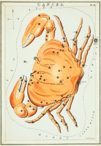
zodiac
pages with maps
cc-zero
astronomy
astrology
vintage maps
popular science monthly illustrations/volume 32
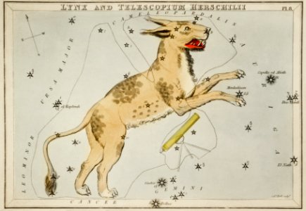
sidney hall
pisgah astronomical research institute (pari)
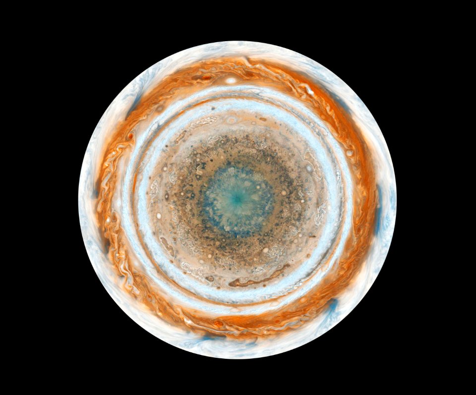
planet
space
maps
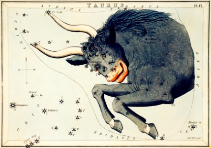
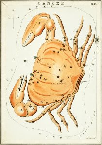
bull
astronomy
maps
astronomy
maps
sketch
maps
astronomy
maps
popular science monthly illustrations/volume 31
astronomical maps
popular science monthly illustrations/volume 32
astronomical maps
popular science monthly illustrations/volume 32
astronomical maps
astronomy
maps
astronomy
maps
popular science monthly illustrations/volume 31
astronomical maps
popular science monthly illustrations/volume 31
astronomical maps
popular science monthly illustrations/volume 31
astronomical maps
astronomy
maps
maps
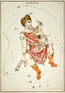
man
popular science monthly illustrations/volume 32
astronomical maps
popular science monthly illustrations/volume 32
astronomical maps
popular science monthly illustrations/volume 32
astronomical maps
popular science monthly illustrations/volume 31
astronomical maps
maps
bear
popular science monthly illustrations/volume 32
astronomical maps
popular science monthly illustrations/volume 32
astronomical maps
popular science monthly illustrations/volume 11
astronomical maps
popular science monthly illustrations/volume 32
astronomical maps
popular science monthly illustrations/volume 32
astronomical maps
lizard
maps
popular science monthly illustrations/volume 32
astronomical maps
popular science monthly illustrations/volume 32
astronomical maps
popular science monthly illustrations/volume 31
astronomical maps
popular science monthly illustrations/volume 32
astronomical maps
astronomy
maps
popular science monthly illustrations/volume 32
astronomical maps
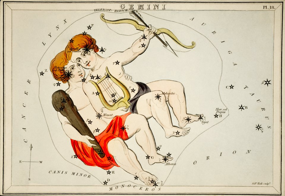
mythology
maps
charts and maps of the royal museums greenwich
18th-century maps of the mediterranean sea
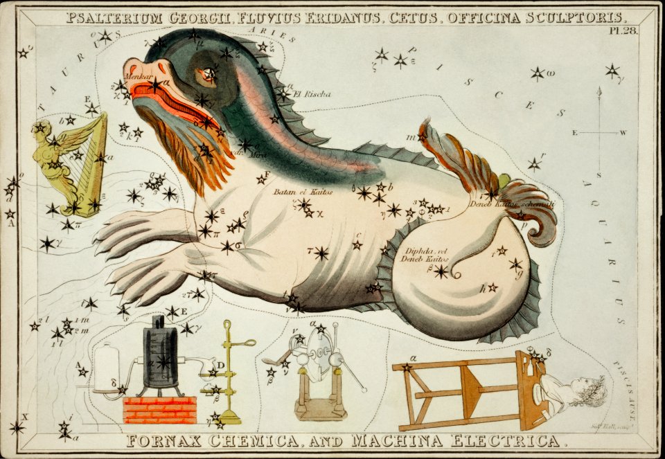
fish
maps
charts and maps of the royal museums greenwich
18th-century maps of the mediterranean sea
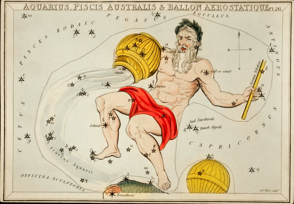
balloon
maps
animals
maps
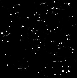
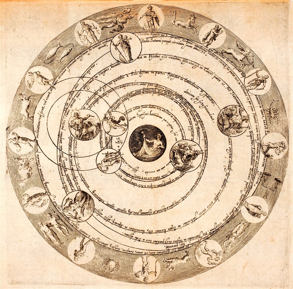
astronomical diagrams
zodiac
astronomy
maps
bird
maps
pages with maps
star trail
shopping
agate
self-published work
pages with maps
self-published work
pages with maps
grass
rural
self-published work
pages with maps
self-published work
pages with maps
self-published work
pages with maps
self-published work
rock
self-published work
pages with maps
self-published work
rock
self-published work
pages with maps
self-published work
pages with maps
self-published work
pages with maps
self-published work
animals
planet
sky
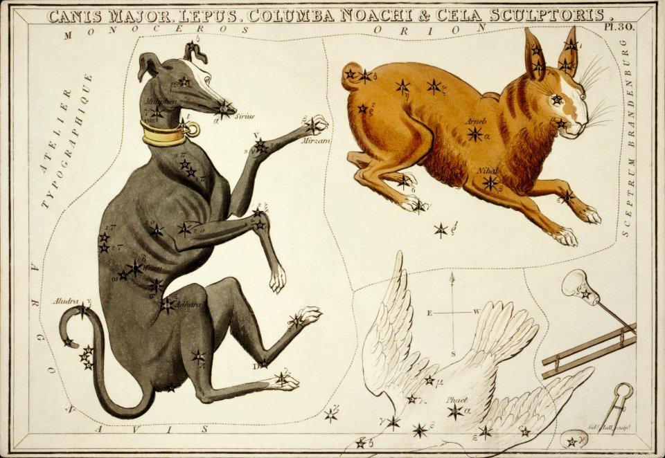
old constellation maps
maps by samuel dunn
history paintings by jan matejko
portraits of nicolaus copernicus
history paintings by jan matejko
portraits of nicolaus copernicus
historical map collection
maps by emanuel bowen
navigantium atque itinerantium bibliotheca
18th-century maps of south asia
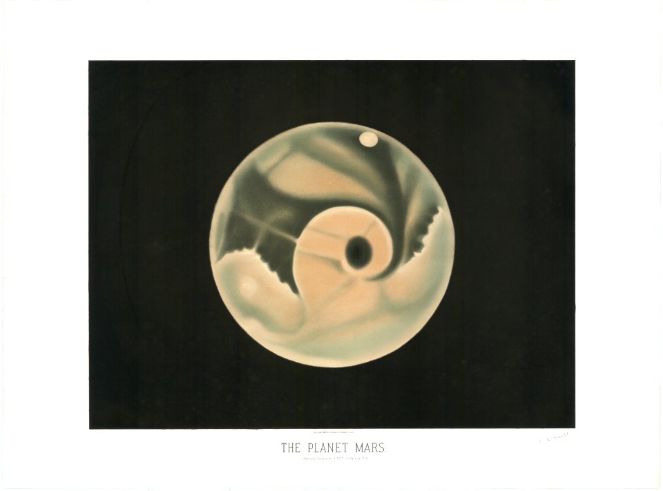
the trouvelot astronomical drawings
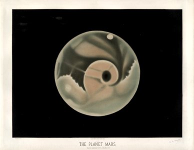
old maps of mars
maps in the library of congress
1713 maps
maps in the library of congress
1721 maps
maps in the library of congress
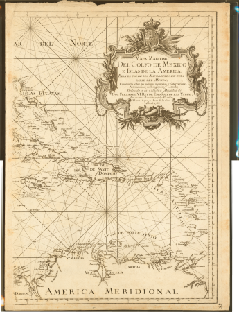
1750s maps of central america
eran laor cartographic collection
tranquillo mollo
1770s maps of the americas
maps by tomas lopez
1770s maps of the americas
maps by tomas lopez
the trouvelot astronomical drawings
old maps of mars
maps of the divisions of the polish-lithuanian commonwealth
karol de perthées
maps of the divisions of the polish-lithuanian commonwealth
karol de perthées
maps in the british museum
german renaissance
maps in the british museum
german renaissance
maps in the british museum
german renaissance
maps in the library of congress
1747 maps of new jersey
maps in the library of congress
1750s maps of the caribbean
an accurate map of england and wales , drawn from all the particular surveys hitherto publish'd. illustrated with many additional improvements, and regulated by numerous astronomical observations made by... - btv1b53181614s
maps by thomas kitchin
an accurate map of england and wales , drawn from all the particular surveys hitherto publish'd. illustrated with many additional improvements, and regulated by numerous astronomical observations made by... - btv1b53181614s
maps by thomas kitchin
19th-century maps of greece
pierre françois tardieu
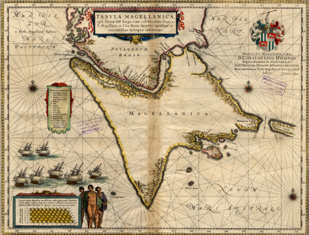
17th-century maps of the strait of magellan
maps by willem and johannes blaeu
bibliothèque nationale de france
cartouches by tomas lópez
eran laor cartographic collection
thomas kitchin
juan de la cruz cano y olmedilla
maps by tomas lopez
juan de la cruz cano y olmedilla
maps by tomas lopez
johannes honterus
renaissance
civitates orbis terrarum. urbium praecipuarum totius mundi. liber quartus
maps of malmö by braun & hogenberg
civitates orbis terrarum. urbium praecipuarum totius mundi. liber quartus
maps of sloten by braun & hogenberg
civitates orbis terrarum. urbium praecipuarum totius mundi. liber quartus
maps of harlingen by braun & hogenberg
historical
history
civitates orbis terrarum. urbium praecipuarum totius mundi. liber quartus
maps of lund by braun & hogenberg
danubius pannonico-mysicus
civitates orbis terrarum. urbium praecipuarum totius mundi. liber quartus
maps of malmö by braun & hogenberg
civitates orbis terrarum. urbium praecipuarum totius mundi. liber quartus
old maps of ancient rome (city)
civitates orbis terrarum. urbium praecipuarum totius mundi. liber quartus
maps of sneek by braun & hogenberg
civitates orbis terrarum. urbium praecipuarum totius mundi. liber quartus
maps of ijlst by braun & hogenberg
civitates orbis terrarum. urbium praecipuarum totius mundi. liber quartus
maps of landskrona by braun & hogenberg
historical
history
bibliothèque nationale de france
maps by thomas kitchin
1 - 100 of 255
Next page
/ 3