Log in
All resources
Create a design
Tools
690 Free Images of Bbb
arnold's geographical handbook (1899)
school
basketball
wildcat
explore
ohio
hudson
freshmen
mayfield
ohsaa
architecture
city
arnold's geographical handbook (1899)
1899 maps of the caribbean
arnold's geographical handbook (1899)
1899 maps of the world
arnold's geographical handbook (1899)
maps of ocean currents
arnold's geographical handbook (1899)
global maps of climate zones
landscape
tree
light
dark
architecture
tree
cityscape
vanuatu
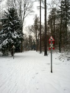
winter
wood
winter
tree
light
city
architecture
cityscape
architecture
cityscape
vehicle
car
purple
blue
forest
winter
cityscape
tree
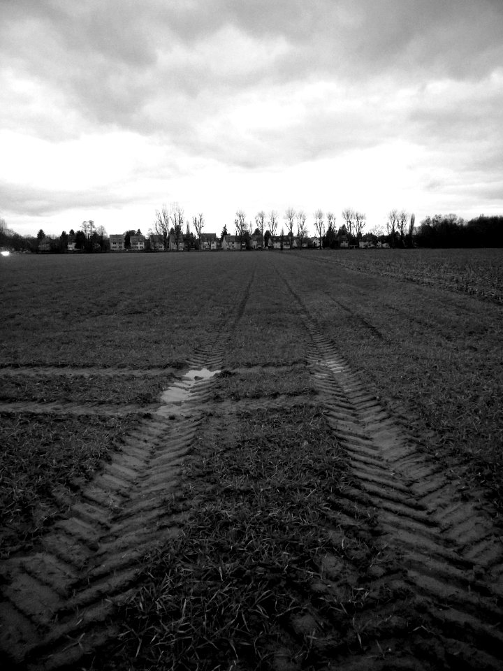
agriculture
harvest
light
night
arnold's geographical handbook (1899)
1899 maps of india
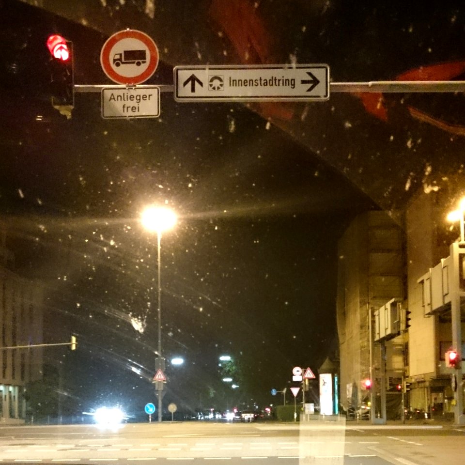
traffic
light
architecture
blue
architecture
facade
basketball
school
arnold's geographical handbook (1899)
1899 maps of the world
arnold's geographical handbook (1899)
collections of the british library
landscape
grass
landscape
grass
architecture
cityscape
clouds
grass
basketball
school
basketball
school
basketball
school
basketball
school
basketball
school
basketball
school
basketball
school
basketball
school
christmas
light
forest
tree
water
tree
monochrome
cityscape
architecture
blue
basketball
school
basketball
school
basketball
school
basketball
school
basketball
school
basketball
school
basketball
school
basketball
school
basketball
school
basketball
school
basketball
school
basketball
school
1890s maps of england
1890s maps of wales
arnold's geographical handbook (1899)
1899 maps of spain
arnold's geographical handbook (1899)
1899 maps of china
old hemisphere world maps (partner files)
arnold's geographical handbook (1899)
germany
field
water
tree
landscape
nature
arnold's geographical handbook (1899)
1899 maps of the united kingdom
arnold's geographical handbook (1899)
1899 maps of the united kingdom
arnold's geographical handbook (1899)
1899 maps of the united kingdom
arnold's geographical handbook (1899)
1890s maps of scotland
arnold's geographical handbook (1899)
1890s maps of oceania
arnold's geographical handbook (1899)
1899 maps of germany
arnold's geographical handbook (1899)
1899 maps of the united kingdom
arnold's geographical handbook (1899)
1899 maps of france
arnold's geographical handbook (1899)
1899 maps of south america
arnold's geographical handbook (1899)
1899 maps of south america
arnold's geographical handbook (1899)
1899 maps of europe
arnold's geographical handbook (1899)
1890s maps of austria-hungary
arnold's geographical handbook (1899)
1899 maps of asia
arnold's geographical handbook (1899)
1899 maps of africa
arnold's geographical handbook (1899)
1890s maps of ireland
arnold's geographical handbook (1899)
1899 maps of italy
arnold's geographical handbook (1899)
1899 maps of europe
arnold's geographical handbook (1899)
1899 maps of south america
arnold's geographical handbook (1899)
1890s maps of scotland
arnold's geographical handbook (1899)
1899 maps of europe
arnold's geographical handbook (1899)
1899 maps of the world
arnold's geographical handbook (1899)
old maps of the amazon river
arnold's geographical handbook (1899)
1899 maps of the united states
fashion plates in the rijksmuseum
mode. dj
arnold's geographical handbook (1899)
1899 maps of the united states
arnold's geographical handbook (1899)
1899 maps of the united kingdom
arnold's geographical handbook (1899)
1899 maps of russia
arnold's geographical handbook (1899)
1899 maps of the caribbean
arnold's geographical handbook (1899)
1899 maps of europe
arnold's geographical handbook (1899)
1899 maps of the united states
arnold's geographical handbook (1899)
1899 maps of the world
arnold's geographical handbook (1899)
old maps of lanarkshire
arnold's geographical handbook (1899)
1899 maps of south america
arnold's geographical handbook (1899)
1899 maps of the united kingdom
arnold's geographical handbook (1899)
1890s maps of canada
arnold's geographical handbook (1899)
1890s maps of ireland
arnold's geographical handbook (1899)
1899 maps of south america
501 - 600 of 690
Next page
/ 7