Log in
All resources
Create a design
Tools
3,563 Free Images of Chart
analytical
bibliothèque nationale de france
clarity pack
graph
diagram
infographic
business
statistics
business & startup pack
maps from university of amsterdam special collections
finance pack
persentage
18th-century maps of england and wales
chorographia britanniae (1741-1742)
fisherman's lures and game-fish food (1920)
fly fishing in art
latin alphabets as initial
latin alphabet charts
fisherman's lures and game-fish food (1920)
fly fishing in art
board
chart
lawrence h. slaughter collection of english maps, charts, globes, books and atlases
novi belgii, atlas maior
svg arrow icons: noun project
svg chart and graph icons
huge flat icons set
chart
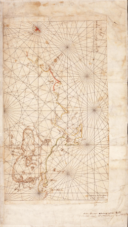
17th-century maps of the mediterranean sea
portolan charts made in the 17th century
old maps of the strait of gibraltar
hendrik de leth
diagrams, plots and charts from the british library mechanical curator collection
a class-book of modern geography (1898)
data
raw
chartae orarum marinarum partim normandiae, partum britanniae, et insularum circa eas sitarum - lucas io(ann)es aurigarius inventor ; ioannes a doetecu. fecit - btv1b531567357
bibliothèque nationale de france
chartae orarum marinarum partim normandiae, partum britanniae, et insularum circa eas sitarum - lucas io(ann)es aurigarius inventor ; ioannes a doetecu. fecit - btv1b531567357
bibliothèque nationale de france
chartae orarum marinarum partim normandiae, partum britanniae, et insularum circa eas sitarum - lucas io(ann)es aurigarius inventor ; ioannes a doetecu. fecit - btv1b531567357
bibliothèque nationale de france
maps by john cary
1801 maps
historical
history
business
present
battle of the nile
cooper willyams
maps from university of amsterdam special collections
atlas der neederlanden
maps from university of amsterdam special collections
atlas der neederlanden
maps from university of amsterdam special collections
atlas der neederlanden
maps from the earth and its inhabitants, vol. iv
charts of plymouth sound
maps from university of amsterdam special collections
atlas der neederlanden
maps from university of amsterdam special collections
atlas der neederlanden
maps from university of amsterdam special collections
atlas der neederlanden
lucas janszoon waghenaer
1588 maps of norway
media contributed by university of illinois urbana-champaign university library
daniel ridgway knight
onion diagram
3 layers
maps of the dutch east india company - south africa
casparus lootsman
drawings by antoon derkinderen in the rijksmuseum amsterdam
symbolism
essential pack
user
finance pack
find
château de l'hers (châteauneuf-du-pape)
étienne martellange
patient chart
icons
involved
better
reporter
bar
1810s maps of the near east
maps by john cary
château de l'hers (châteauneuf-du-pape)
étienne martellange
essential pack
chart
business & startup pack
analytical
ismailïa. a narrative of the expedition to central africa for the suppression of the slave trade (1874)
diagrams, plots and charts from the british library mechanical curator collection
constellations
celestial
butterfly
school
business
success
onion diagram
5 layers
infographic
draft
infographic
draft
people
girl
business
icons
16th-century maps of lisbon
1580s maps of portugal
1941 in london
guy's hospital
1810s maps of the near east
maps by john cary
historical
history
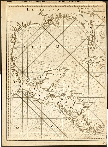
juan de la cruz cano y olmedilla
maps by tomas lopez
juan de la cruz cano y olmedilla
maps by tomas lopez
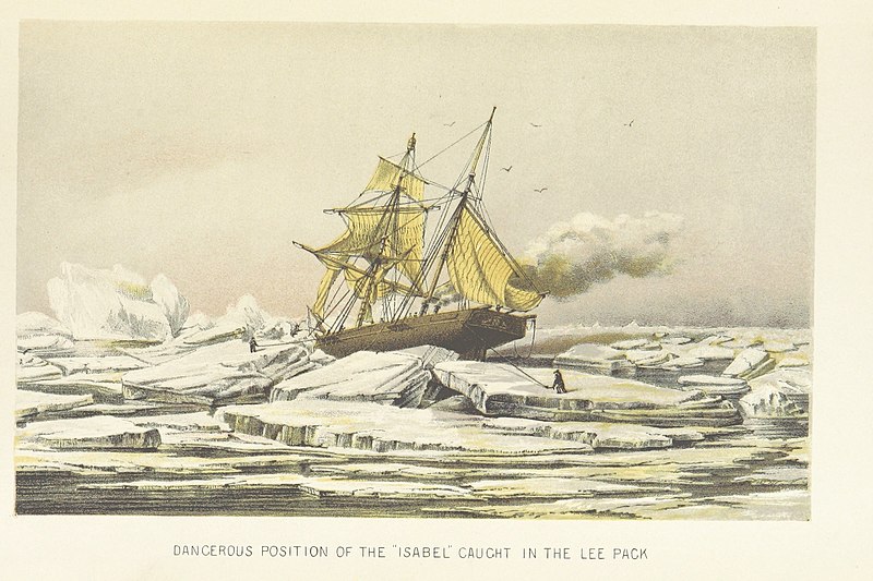
christmas and winter scenes from the british library mechanical curator collection
edward augustus inglefield
world war i posters in the library of congress
louis oppenheim
a map of the provinces of new york and new jersey, with a part of pennsylvania and the province of quebec
lawrence h. slaughter collection of english maps, charts, globes, books and atlases
onion diagram
4 layers
5 layers
layers
business
success
solid
chart
badge
solid
finance
chart
curve
chart
essential app 2 pack
statistics
dutch 19th-century paintings in the rijksmuseum amsterdam
history paintings in the rijksmuseum amsterdam
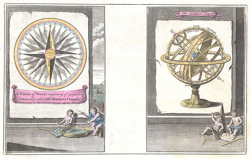
1747 engravings
compass roses
lawrence h. slaughter collection of english maps, charts, globes, books and atlases
covens en mortier
clarity pack
plot
finance
graph
finance pack
chart
business & startup pack
business
clarity pack
analytical
chart
line
clarity pack
chart
heating
chart
chart
maps
chart
plot
analytical
analysis
analytical
pie
equal
audio
business & startup pack
chart
analytical
laptop
business success pack
increase
essential app 1 pack
organ
clarity pack
analytical
document
chart
zee custe van sweeden, ontrent de westerwijck, ende tgatt vann stockholm, beginnende van kalmar tot den wigsteen en rookoe gelegen bynnen tgatt van stockholm alsoe hem tlandt daer verthoont - doer lucas... - btv1b53235860x
bibliothèque nationale de france
zee custe van sweeden, ontrent de westerwijck, ende tgatt vann stockholm, beginnende van kalmar tot den wigsteen en rookoe gelegen bynnen tgatt van stockholm alsoe hem tlandt daer verthoont - doer lucas... - btv1b53235860x
bibliothèque nationale de france
people
arrow
body
boys
infographic
ludo
four
set
diagram
nine
pen and pencil sketches; being reminiscences during eighteen years' residence in bengal (1883)
diagrams, plots and charts from the british library mechanical curator collection
maps of the dutch east india company - bengal
maps of the dutch east india company - india
zee custe van sweeden, ontrent de westerwijck, ende tgatt vann stockholm, beginnende van kalmar tot den wigsteen en rookoe gelegen bynnen tgatt van stockholm alsoe hem tlandt daer verthoont - doer lucas... - btv1b53235860x
bibliothèque nationale de france
3001 - 3100 of 3,563
Next page
/ 36


![Map of the Slaperdijk stretching from the Stichtse mountains to the height of Gelderland / ... Justus van Broeckhuysen ... measured and charted accordingly ... in September 1705; [engraved by Caspar Specht], Caspar Specht, 1705](https://cdn.creazilla.com/illustrations/10001105269/map-of-the-slaperdijk-stretching-from-the-stichtse-mountains-to-the-height-of-gelderland-justus-van-broeckhuysen-measured-and-charted-accordingly-in-september-1705-engraved-by-caspar-specht-caspar-specht-1705-md.jpg)
![Map of the Slaperdijk stretching from the Stichtse mountains to the height of Gelderland / ... Justus van Broeckhuysen ... measured and charted accordingly ... in September 1705; [engraved by Caspar Specht], Caspar Specht, 1705](https://cdn.creazilla.com/illustrations/10001202757/map-of-the-slaperdijk-stretching-from-the-stichtse-mountains-to-the-height-of-gelderland-justus-van-broeckhuysen-measured-and-charted-accordingly-in-september-1705-engraved-by-caspar-specht-caspar-specht-1705-md.jpg)
![Map of the Slaperdijk stretching from the Stichtse mountains to the height of Gelderland / ... Justus van Broeckhuysen ... measured and charted accordingly ... in September 1705; [engraved by Caspar Specht], Caspar Specht, 1705](https://cdn.creazilla.com/illustrations/10001411130/map-of-the-slaperdijk-stretching-from-the-stichtse-mountains-to-the-height-of-gelderland-justus-van-broeckhuysen-measured-and-charted-accordingly-in-september-1705-engraved-by-caspar-specht-caspar-specht-1705-md.jpg)

![Map of the Slaperdijk stretching from the Stichtse mountains to the height of Gelderland / ... Justus van Broeckhuysen ... measured and charted accordingly ... in September 1705; [engraved by Caspar Specht], Caspar Specht, 1705](https://cdn.creazilla.com/illustrations/10000611407/map-of-the-slaperdijk-stretching-from-the-stichtse-mountains-to-the-height-of-gelderland-justus-van-broeckhuysen-measured-and-charted-accordingly-in-september-1705-engraved-by-caspar-specht-caspar-specht-1705-md.jpg)
![Map of the Slaperdijk stretching from the Stichtse mountains to the height of Gelderland / ... Justus van Broeckhuysen ... measured and charted accordingly ... in September 1705; [engraved by Caspar Specht], Caspar Specht, 1705](https://cdn.creazilla.com/illustrations/10001438819/map-of-the-slaperdijk-stretching-from-the-stichtse-mountains-to-the-height-of-gelderland-justus-van-broeckhuysen-measured-and-charted-accordingly-in-september-1705-engraved-by-caspar-specht-caspar-specht-1705-md.jpg)
![Map of the Slaperdijk stretching from the Stichtse mountains to the height of Gelderland / ... Justus van Broeckhuysen ... measured and charted accordingly ... in September 1705; [engraved by Caspar Specht], Caspar Specht, 1705](https://cdn.creazilla.com/illustrations/10001059198/map-of-the-slaperdijk-stretching-from-the-stichtse-mountains-to-the-height-of-gelderland-justus-van-broeckhuysen-measured-and-charted-accordingly-in-september-1705-engraved-by-caspar-specht-caspar-specht-1705-md.jpg)