Log in
All resources
Create a design
Tools
1,240 Free Images of Degree
bibliothèque nationale de france
history
historical
graduation
national archives and records administration
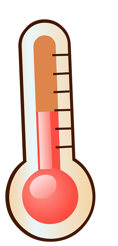
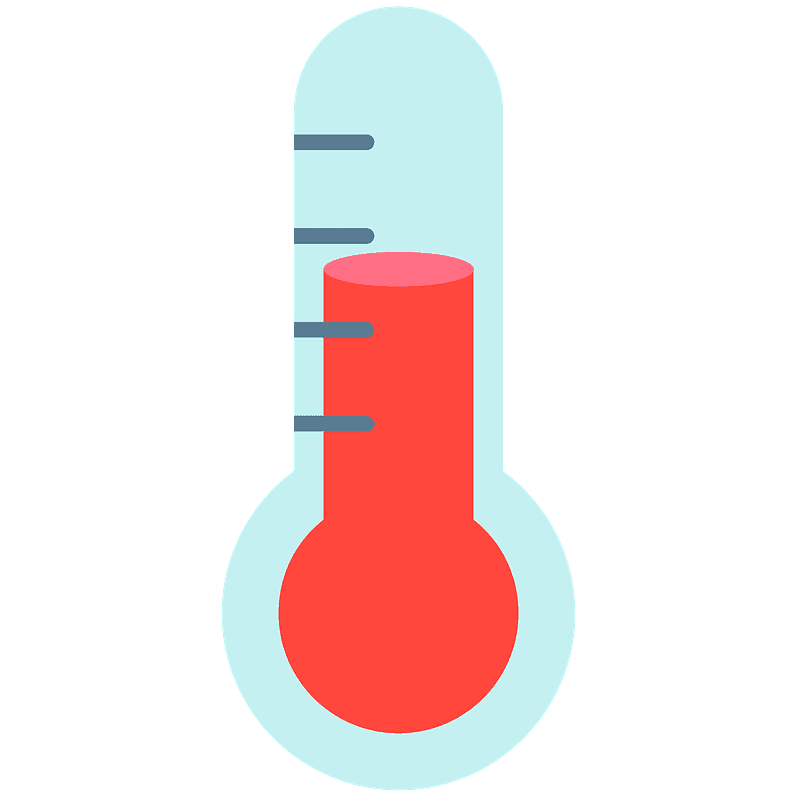
temperature
thermometer
meter
gauge
lunar photography during apollo 14
bibliothèque nationale de france
guillaume sanson
carte de la syrie by guillaume delisle (1764)
bibliothèque nationale de france
carte de barbarie, nigritie, guinée par guillaume delisle (1707)
bibliothèque nationale de france
fish
boat
18th-century maps of the sea of marmara
18th-century maps of the dardanelles
mary roberts rinehart texts (english)
frederic rodrigo gruger
map of l'evesché du mans by jaillot and cordier
bibliothèque nationale de france
map of l'evesché du mans by jaillot and cordier
bibliothèque nationale de france
1800s maps of the iberian peninsula
maps of spain by tomas lopez
traffic sign
loop
map of l'evesché du mans by jaillot and cordier
bibliothèque nationale de france
18th-century portraits in the russian museum (romanovs)
paul i by shchukin
le royaume de danemark subdivisé en ses principales provinces, tiré de plusieurs mémoires - par le s. sanson... - btv1b53202697k
bibliothèque nationale de france
map of l'evesché du mans by jaillot and cordier
bibliothèque nationale de france
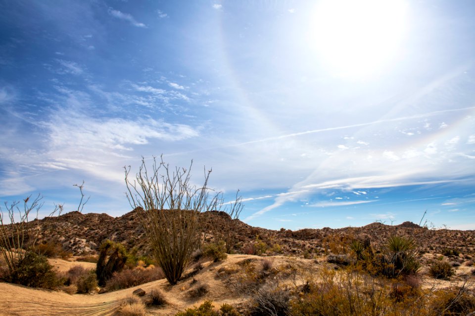
landscape
malaysia
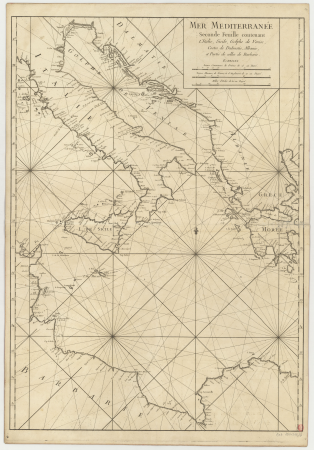
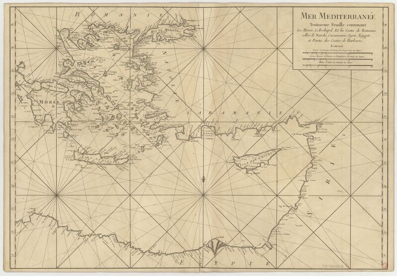
carte de la mer méditerranée en trois feuilles (dheulland et al.)
old maps of the central mediterranean
1836 maps of africa
ambroise tardieu
historical
history
carte de la mer méditerranée en trois feuilles (dheulland et al.)
18th-century maps of the western mediterranean
carte de la mer méditerranée en trois feuilles (dheulland et al.)
old maps of the central mediterranean
road signs in australia
traffic sign
english wikisource illustrations
once a week magazine, 1863
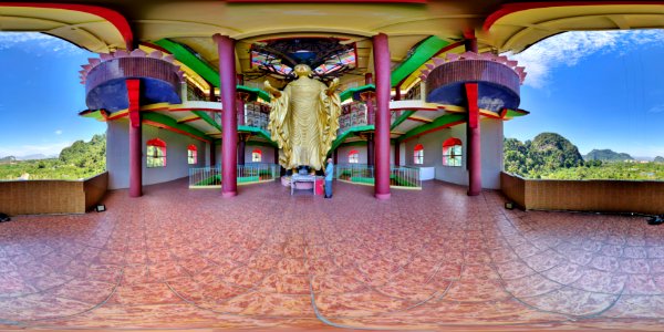
buddha
temple
history
podium
illustration
😃 emoji
illustration
weather
carte de la mer méditerranée en trois feuilles (dheulland et al.)
18th-century maps of the eastern mediterranean
graduation
cartoon
bibliothèque nationale de france
guillaume sanson
bibliothèque nationale de france
guillaume sanson
coronation of alexander i of russia
romanticism
illustration
weather
bibliothèque nationale de france
guillaume sanson
brochure
draft
maps by thomas kitchin
old maps of scotland
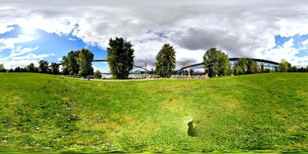
landscape
grass
education
school
historical
history
portrait paintings by wilhelm bendz
danish golden age
bibliothèque nationale de france
guillaume sanson
historical
history
1690s maps of the caribbean
1690s maps of the americas
illustration
😃 emoji
twenty-four views by henry salt (1809)
historical images of rayakottai
historical
history
landscape
sun
maps of ancient israel by philippe de la rué
old maps of the stations of the exodus
historical
history
ambigrama
words
road signs in australia
traffic sign
historical
history
historical
history
medieval miniatures of jerusalem
1455 paintings
temperature
tools
bibliothèque nationale de france
maps by thomas kitchin
facebook
draft
illustration
😃 emoji
business
school
historical
history
building
vehicle
fotoalbum met opnames van ad, johanna en han van der kop, hun moeder w.g. hoogendijk en familieleden
collodion prints in the rijksmuseum amsterdam
illustration
😃 emoji
historical
history
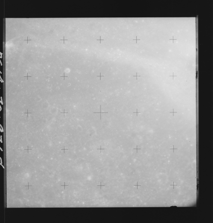
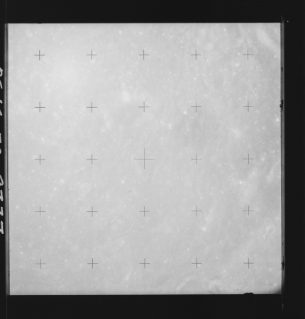
lunar photography during apollo 14
mare nectaris
bibliothèque nationale de france
maps by thomas kitchin
high renaissance,renaissance
madonna benois
😃 emoji
weather
bibliothèque nationale de france
guillaume sanson
road signs in australia
traffic sign
road signs in australia
traffic sign
bibliothèque nationale de france
joachim ottens
extracts from carta hydrographica y chorographica de las yslas filipinas
baroque painting
success
school
graduation
job
historical
history
lunar photography during apollo 8
gilbert (lunar crater)
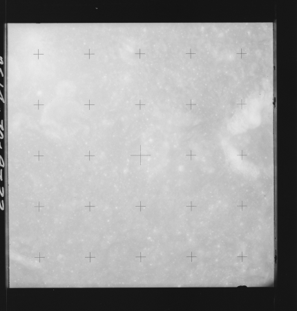
lunar photography during apollo 14
langrenus (crater)
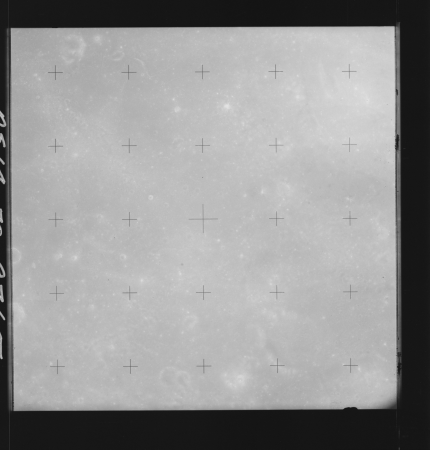
lunar photography during apollo 14
mare nectaris
lunar photography during apollo 14
mare nectaris
old county maps of hertfordshire
maps by thomas kitchin
cabinet cards in the rijksmuseum amsterdam
walter damry
clothing
😃 emoji
lunar photography during apollo 8
maclaurin (crater)
lunar photography during apollo 14
lohse (lunar crater)
lunar photography during apollo 14
langrenus (crater)
lunar photography during apollo 14
mare nectaris
clothing
😃 emoji
clothing
😃 emoji
clothing
😃 emoji
lunar photography during apollo 14
mare nectaris
people
church
clothing
😃 emoji
clothing
😃 emoji
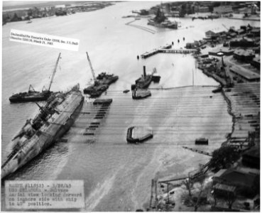
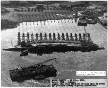
uss naugatuck (ship, 1844)
uss monitor (ship, 1862)
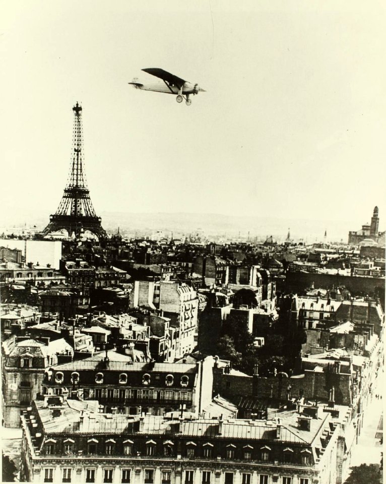
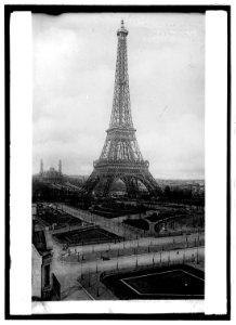
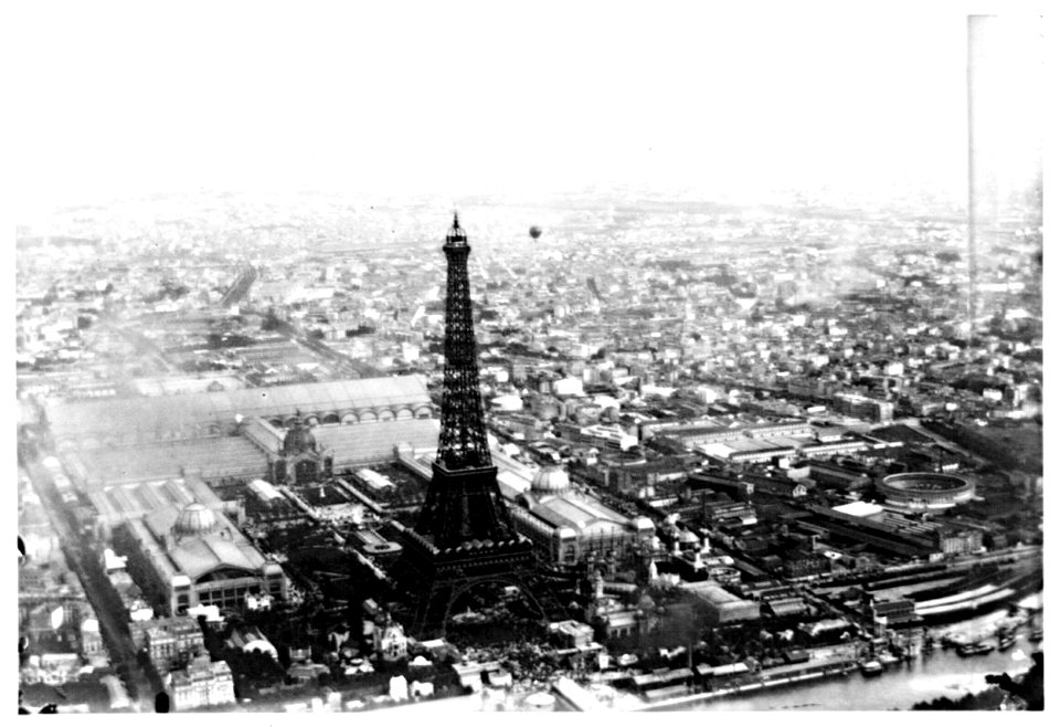
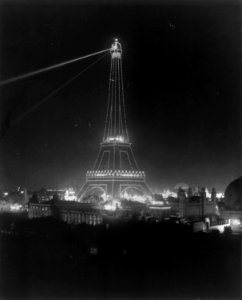
eiffel tower
history
historical
history
extracts from carta hydrographica y chorographica de las yslas filipinas
baroque painting
old maps of northumberland
maps by thomas kitchin
an accurate map of england and wales , drawn from all the particular surveys hitherto publish'd. illustrated with many additional improvements, and regulated by numerous astronomical observations made by... - btv1b53181614s
maps by thomas kitchin
historical
history
901 - 1000 of 1,240
Next page
/ 13