Log in
All resources
Create a design
12,105 Free Images of Geography
map
cartography
engraving
grabados
fondo antiguo
city
maps
cologne
ciudad
colonia
the earth and its inhabitants, vol. xvi: north america, vol. ii
the earth and its inhabitants, vol. iv: europe, vol. iv
derwent water in art
the earth and its inhabitants, vol. iii: europe, vol. iii
maps from the earth and its inhabitants, vol. iv
1880s maps of the british isles
maps from the earth and its inhabitants, vol. iv
old maps of portsmouth
the earth and its inhabitants, vol. iii: europe, vol. iii
onze-lieve-vrouwekathedraal (antwerp) in art
the earth and its inhabitants, vol. iv: europe, vol. iv
glen coe in art
maps from the earth and its inhabitants, vol. iv
old maps of cromartyshire
maps from the earth and its inhabitants, vol. iii
old maps of trier
the earth and its inhabitants, vol. iii: europe, vol. iii
history of the brussels town hall
the earth and its inhabitants, vol. iii: europe, vol. iii
historical images of graben (vienna)
the earth and its inhabitants, vol. iv: europe, vol. iv
caernarfon castle
the earth and its inhabitants, vol. xiv: oceania
volcanic eruptions of krakatoa in 1883
maps from the earth and its inhabitants, vol. iv
old maps of lincoln
the earth and its inhabitants, vol. xviii: south america, vol. i
1894 in chile
the earth and its inhabitants, vol. iii: europe, vol. iii
historical images of dubrovnik
the earth and its inhabitants, vol. v: europe, vol. v
gustav i of sweden
the earth and its inhabitants, vol. iv: europe, vol. iv
warwick castle in art
maps from the earth and its inhabitants, vol. iv
old maps of derby
the earth and its inhabitants, vol. x: africa, vol. i
the earth and its inhabitants, vol. xviii: south america, vol. i
1894 in bolivia
the earth and its inhabitants, vol. x: africa, vol. i
muhammad ali mosque in art
the earth and its inhabitants, vol. iii: europe, vol. iii
uenglinger tor (stendal)
the earth and its inhabitants, vol. xviii: south america, vol. i
1894 in ecuador
the earth and its inhabitants, vol. iii: europe, vol. iii
windmills in art
the earth and its inhabitants, vol. v: europe, vol. v
wool in art
the earth and its inhabitants, vol. iv: europe, vol. iv
canterbury cathedral in art
the earth and its inhabitants, vol. xviii: south america, vol. i
1894 in ecuador
the earth and its inhabitants, vol. iv: europe, vol. iv
isle of skye
maps from the earth and its inhabitants, vol. iv
old maps of the isles of scilly
prints by bernard picart in the rijksmuseum amsterdam
allegorical engravings in the rijksmuseum amsterdam
😃 emoji
skyline
😃 emoji
skyline
planet
earth
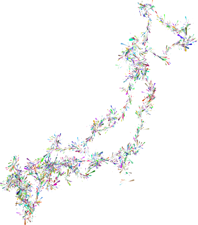
japan
map
myanmar
map
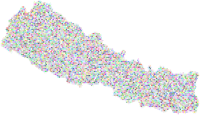
nepal
map
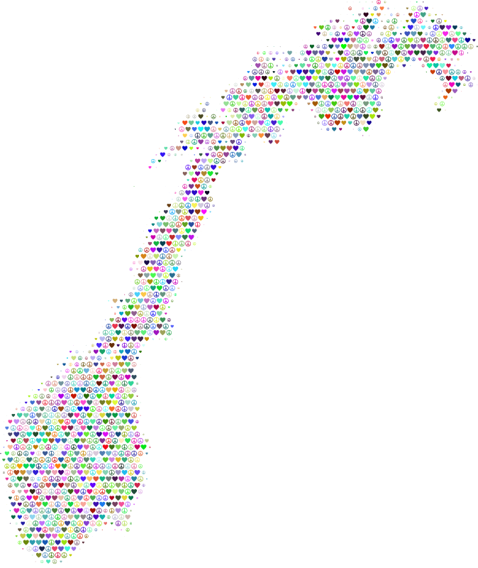
norway
map
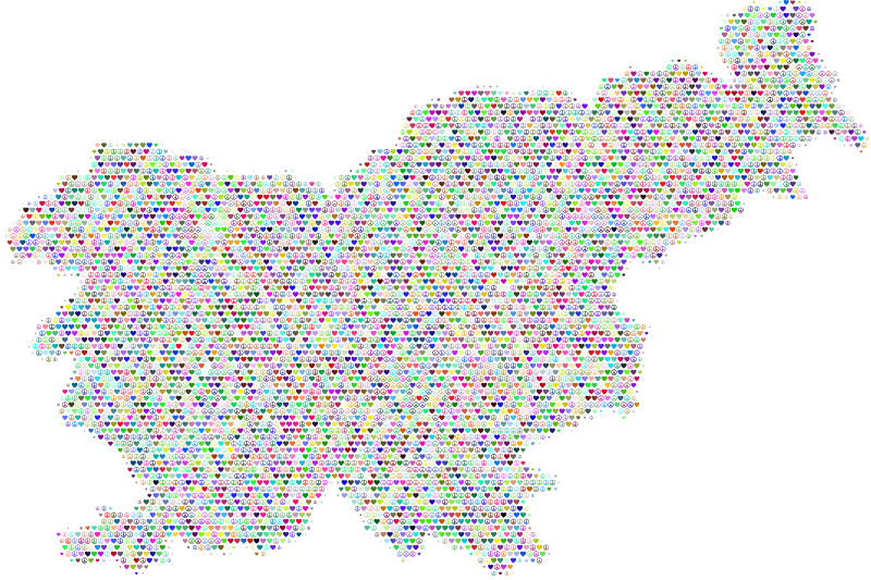
slovenia
map
tajikistan
map
uganda
map
continent
africa
burundi
map
circles
europe
comoros
map
united states
america
ghana
map
guyana
map
historical
history
historical
history
historical
history
earth
ball
atlas géographique des quatre parties du monde (delisle)
map of europe by guillaume delisle (1700)
atlas géographique des quatre parties du monde (delisle)
french-language title pages
shober & carqueville lithographing company
baylor university
vegetables
landscape
vegetables
tree
vegetables
grass
landscape
travel
vegetables
landscape
atlas géographique des quatre parties du monde (delisle)
18th-century maps of africa
maps of ports and fortresses of the mediterranean by marco boschini (1651)
bibliothèque nationale de france
atlas géographique des quatre parties du monde (delisle)
folded maps
atlas géographique des quatre parties du monde (delisle)
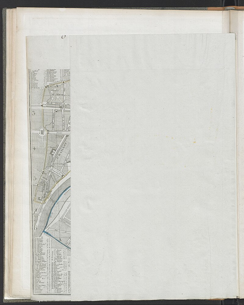
maps of paris by guillaume delisle
atlas géographique des quatre parties du monde (delisle)
map of italy by guillaume delisle (1700)
travel
maps
maps
city
maps
city
maps
city
maps
city
maps
city
travel
maps
maps
city
maps
city
maps
city
maps
city
maps
city
maps
city
maps
city
islands
travel
travel
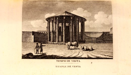
italy
travel
rome
maps
city
maps
city
maps
city
maps
city
maps
city
maps
city
maps
city
maps
city
maps
city
maps
city
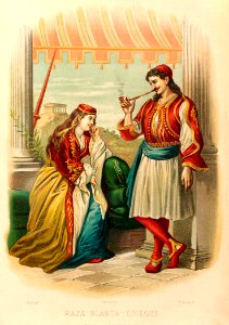
clothing
travel
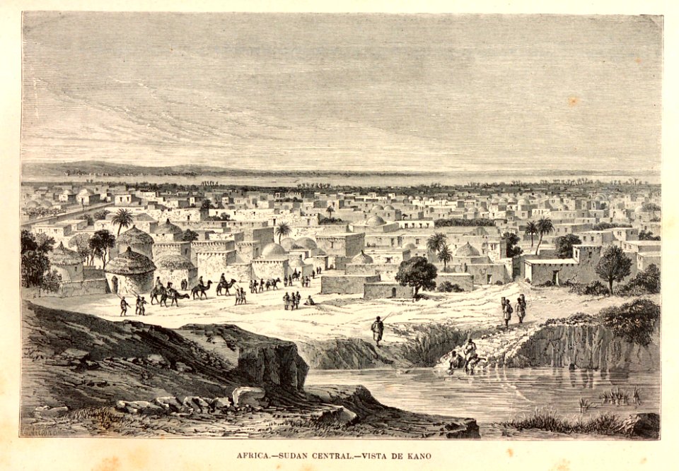
religious
travel
travel
camel
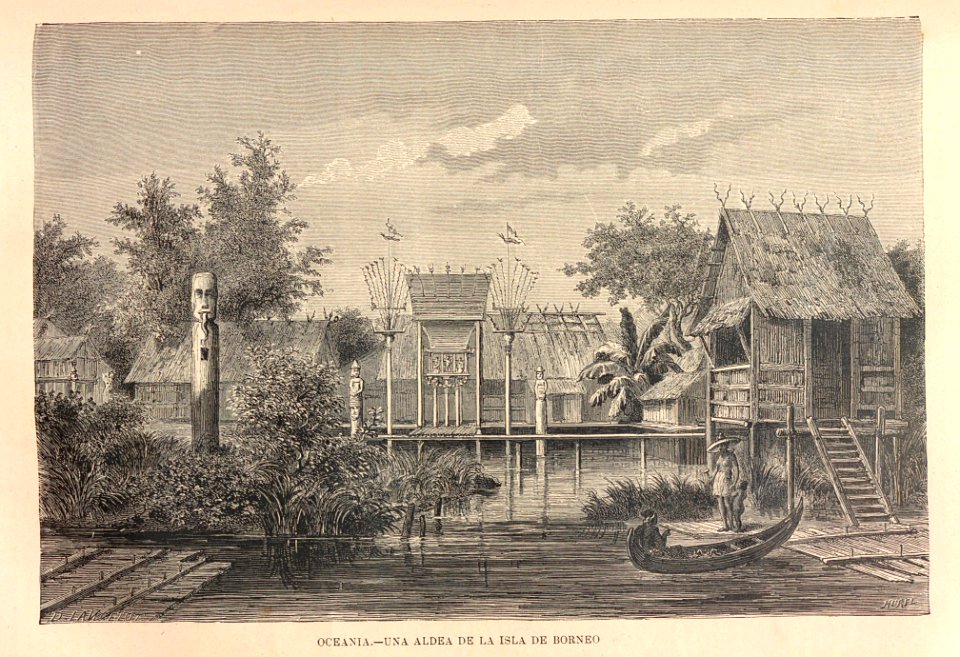
travel
boat
travel
book
travel
book
atlas géographique des quatre parties du monde (delisle)
18th-century maps of the world
atlas géographique des quatre parties du monde (delisle)
18th-century maps of france
10901 - 11000 of 12,105
Next page
/ 122