Log in
All resources
Create a design
12,105 Free Images of Geography
géographie générale; physique, politique et économique (1876)
a system of modern geography (1810)
the earth and its inhabitants, vol. ix: asia, vol. iv
illustration
cart
encyclopedie
mon professeur
mon professeur (1907)
géographie
physical geography (1899) by davis
nouveau cours d'instruction primaire de géographie (1886)
topographic maps of france
géographie générale; physique, politique et économique (1876)
1870s maps of austria
muazzamiyya minaret
arches in jerusalem
géographie générale; physique, politique et économique (1876)
19th-century maps of pomerania
maps of the seine river
1886 maps of france
géographie générale; physique, politique et économique (1876)
1870s maps of the atlantic ocean
collections of the british library
polar star
géographie générale; physique, politique et économique (1876)
18th-century maps of alpes-maritimes
historical
history
new caledonia in the 19th century
old maps of new caledonia
maps of the west indies federation
1810s maps of the caribbean
physical geography (1899) by davis
1899 maps of oregon
géographie générale; physique, politique et économique (1876)
19th-century maps of borneo
géographie générale; physique, politique et économique (1876)
19th-century maps of the nile river
géographie générale; physique, politique et économique (1876)
1876 maps of italy
nouveau cours d'instruction primaire de géographie (1886)
1886 maps of europe
physical geography (1899) by davis
1899 maps of pennsylvania
maps of mountains in the united states
mount shasta
a system of modern geography (1810)
1810 maps of germany
géographie illustrée de la france et de ses colonies
orientalist painting
maps from the earth and its inhabitants, vol. vii
maps of the history of beijing
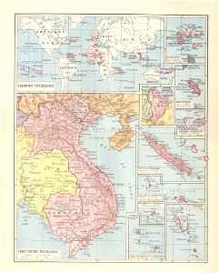
géographie illustrée de la france et de ses colonies
orientalist painting
géographie illustrée de la france et de ses colonies
orientalist painting
vegetables
tree
historical
history
science
period
science
period
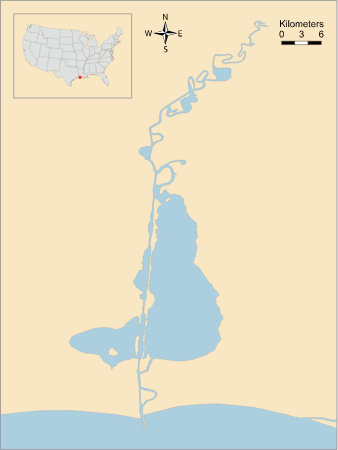
calcasieu
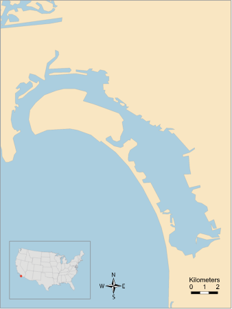
coast
california
ca
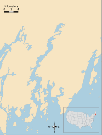
damariscotta river
atlantic ocean
maps from the earth and its inhabitants, vol. ix
ethnographic maps of asia
nouvelle géographie universelle, vol. ii
cave entrances
illustration
geography
illustration
geography
illustration
geography
illustration
geography
maps from the earth and its inhabitants, vol. vi
maps of the history of the caucasus
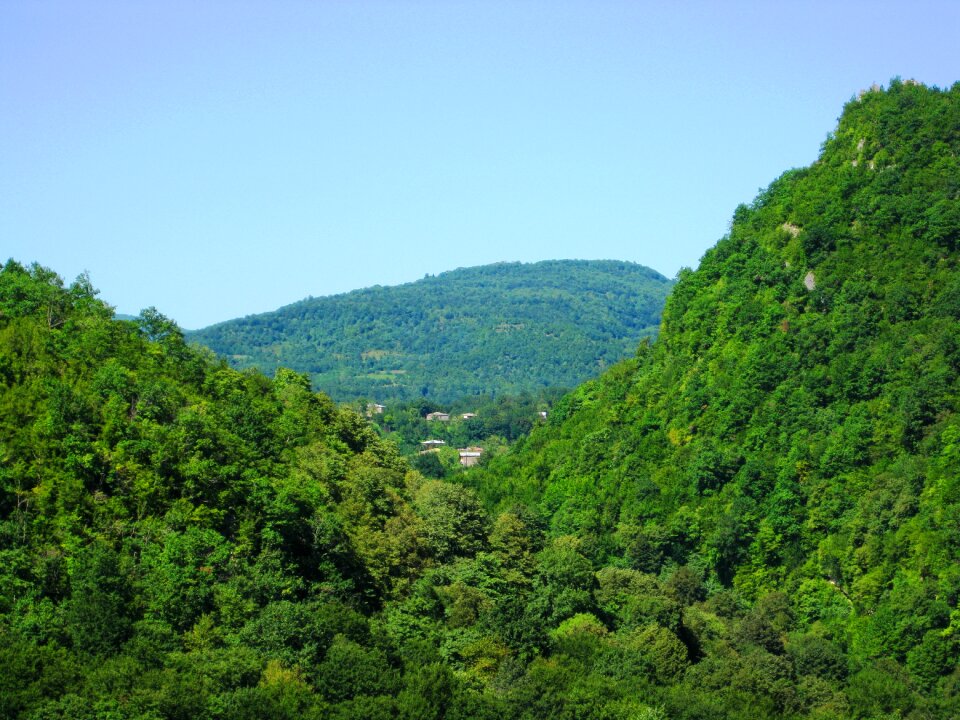
landscape
travel
vegetables
building
illustration
geography
maps from the earth and its inhabitants, vol. vii
charles eugène perron
maps from the earth and its inhabitants, vol. xvii
history of florida
maps from the earth and its inhabitants, vol. xv
exploration of the arctic
maps from the earth and its inhabitants, vol. vi
ferdinand von richthofen
maps from the earth and its inhabitants, vol. ix
exploration of arabia
géographie générale; physique, politique et économique (1876)
1876 maps of south america
a system of modern geography (1810)
1810s maps of the austrian empire
géographie générale; physique, politique et économique (1876)
1870s maps of portugal
a system of modern geography (1810)
1810s maps of the russian empire
géographie générale; physique, politique et économique (1876)
1870s maps of scotland
a system of modern geography (1810)
1810s maps of europe
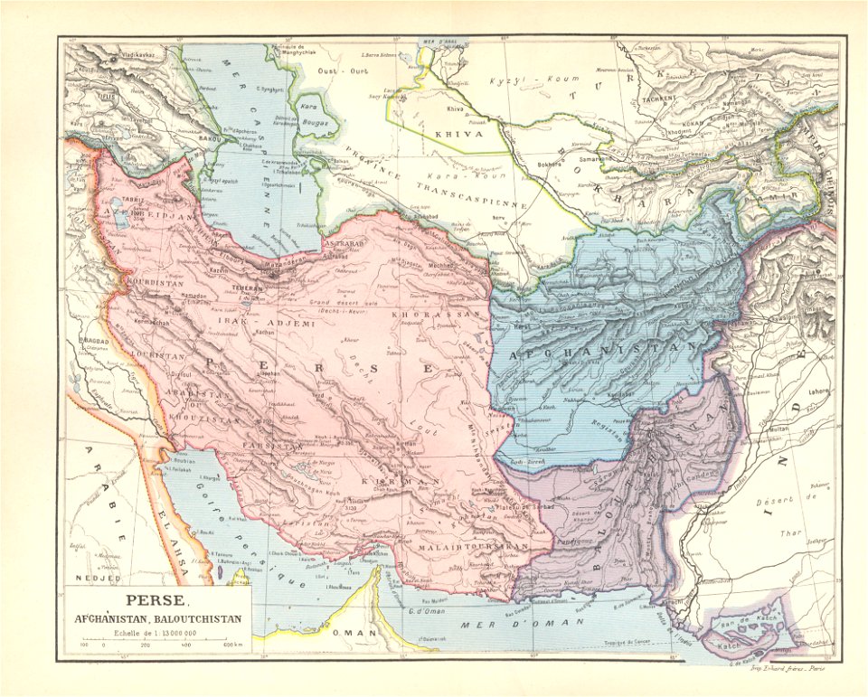
a system of modern geography (1810)
1810s maps of arabia
the earth and its inhabitants, vol. ix: asia, vol. iv
nouvelle géographie universelle, vol. v
maps of the volga
physical geography (1899) by davis
tarso marques
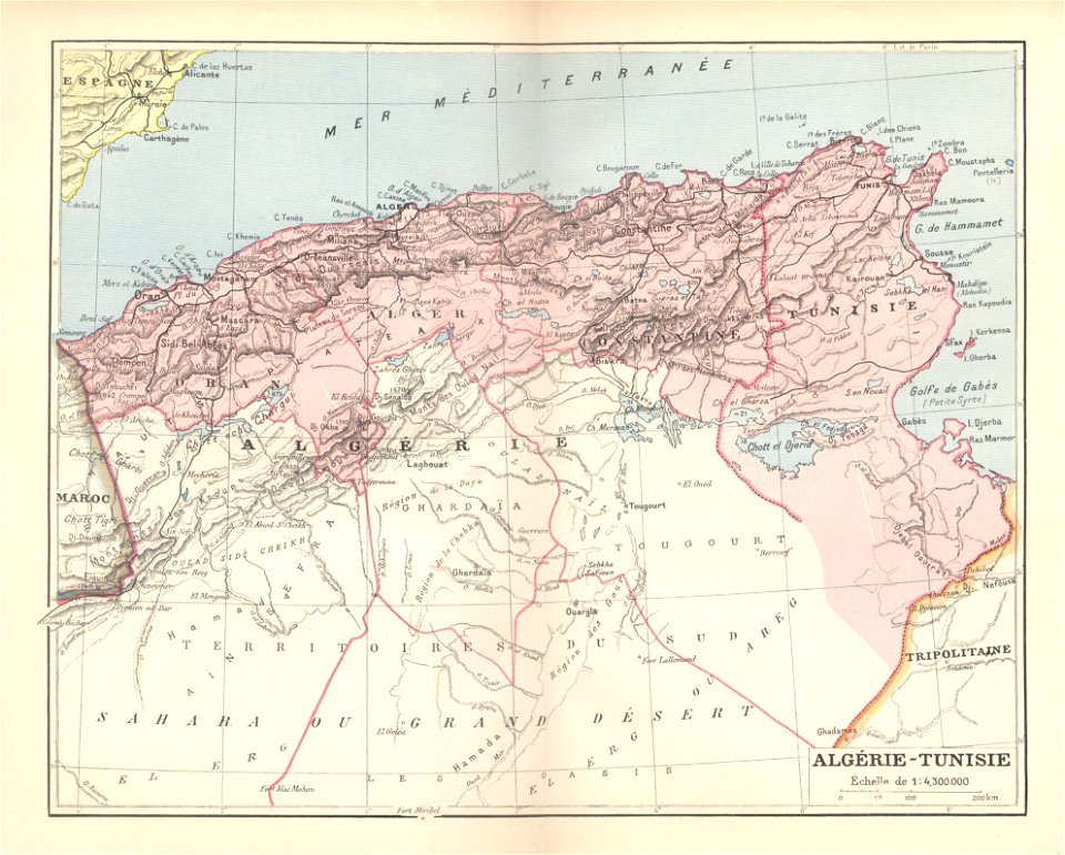
géographie générale; physique, politique et économique (1876)
1870s maps of cuba
géographie générale; physique, politique et économique (1876)
1876 maps of europe
géographie générale; physique, politique et économique (1876)
maps of gironde (estuary)
a system of modern geography (1810)
1810s maps of germany
the earth and its inhabitants, vol. ix: asia, vol. iv
géographie générale; physique, politique et économique (1876)
19th-century maps of strasbourg
géographie générale; physique, politique et économique (1876)
19th-century maps of guadeloupe
géographie générale; physique, politique et économique (1876)
1870s maps of greece
maps from the earth and its inhabitants, vol. ix
sajur river
the earth and its inhabitants, vol. ix: asia, vol. iv
unidentified bridges
the earth and its inhabitants, vol. ix: asia, vol. iv
the earth and its inhabitants, vol. ix: asia, vol. iv
géographie générale; physique, politique et économique (1876)
1870s maps of new zealand
géographie générale; physique, politique et économique (1876)
1876 maps of europe
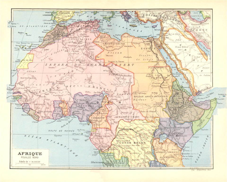
géographie générale; physique, politique et économique (1876)
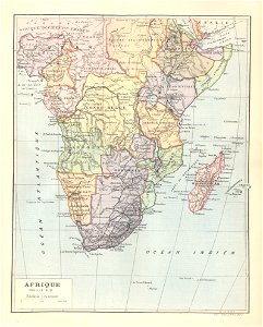
1876 maps of africa
géographie générale; physique, politique et économique (1876)
1870s maps of france
1810s maps of the iberian peninsula
a system of modern geography (1810)
géographie générale; physique, politique et économique (1876)
1876 maps of north america
maps from the earth and its inhabitants, vol. xi
old maps of the sahara
maps from the earth and its inhabitants, vol. vi
population density maps of russia
maps from the earth and its inhabitants, vol. xvi
guillaume le testu
illustration
geography
illustration
geography
a system of modern geography (1810)
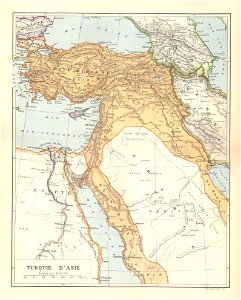
1810s maps of turkey
the earth and its inhabitants, vol. ix: asia, vol. iv
géographie générale; physique, politique et économique (1876)
1870s maps of france
a system of modern geography (1810)
1810s maps of switzerland
a system of modern geography (1810)
1810s maps of france
géographie générale; physique, politique et économique (1876)
1876 maps of india
géographie générale; physique, politique et économique (1876)
1870s maps of central america
géographie générale; physique, politique et économique (1876)
1876 maps of the united kingdom
géographie générale; physique, politique et économique (1876)
étang de berre
maps from the earth and its inhabitants, vol. ix
old maps of baghdad
the earth and its inhabitants, vol. ix: asia, vol. iv
the earth and its inhabitants, vol. ix: asia, vol. iv
géographie générale; physique, politique et économique (1876)
19th-century maps of hautes-pyrénées
géographie générale; physique, politique et économique (1876)
1870s maps of central asia
a system of modern geography (1810)
1810s maps of ireland
physical geography (1899) by davis
pamlico sound
a system of modern geography (1810)
1810s maps of the balkans
a system of modern geography (1810)
1810s maps of the netherlands
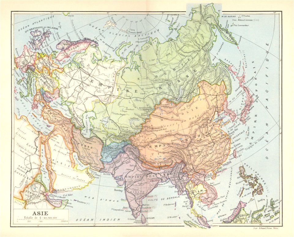
a system of modern geography (1810)
1810s maps of asia
géographie générale; physique, politique et économique (1876)
19th-century maps of senegal
maps from the earth and its inhabitants, vol. ix
i̇zmit
the earth and its inhabitants, vol. ix: asia, vol. iv
3001 - 3100 of 12,105
Next page
/ 122