Log in
All resources
Create a design
Tools
16,639 Free Images of Greece
bibliothèque nationale de france
maps of ports and fortresses of the mediterranean by marco boschini (1651)
marco boschini
history
historical
architecture
sea
greek
europe
ancient
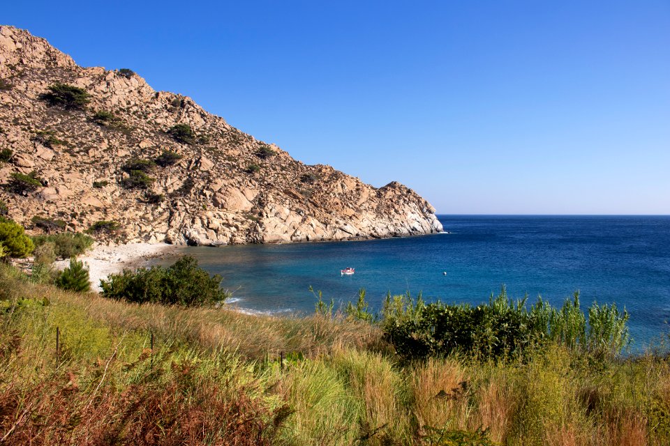
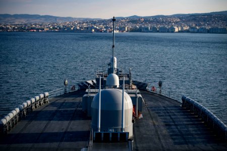
souda bay
dc
water
sea
blue
navy
greece
sport
greece
navy
boat
navy
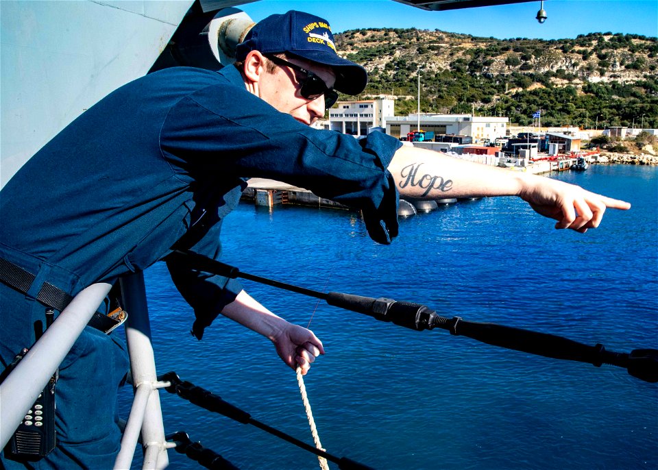
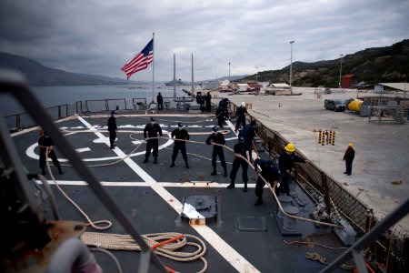
uss ross (ddg 71)
uss ross
uss ross (ddg 71)
uss ross
uss ross (ddg 71)
uss ross
uss ross (ddg 71)
uss ross
uss ross (ddg 71)
uss ross
maps of ports and fortresses of the mediterranean by marco boschini (1651)
bibliothèque nationale de france
maps of ports and fortresses of the mediterranean by marco boschini (1651)
bibliothèque nationale de france
maps of ports and fortresses of the mediterranean by marco boschini (1651)
bibliothèque nationale de france
maps of ports and fortresses of the mediterranean by marco boschini (1651)
bibliothèque nationale de france
maps of ports and fortresses of the mediterranean by marco boschini (1651)
bibliothèque nationale de france
maps of ports and fortresses of the mediterranean by marco boschini (1651)
bibliothèque nationale de france
maps of ports and fortresses of the mediterranean by marco boschini (1651)
old maps of heraklion
maps of ports and fortresses of the mediterranean by marco boschini (1651)
bibliothèque nationale de france
history
music
maps of ports and fortresses of the mediterranean by marco boschini (1651)
bibliothèque nationale de france
maps of ports and fortresses of the mediterranean by marco boschini (1651)
bibliothèque nationale de france
maps of ports and fortresses of the mediterranean by marco boschini (1651)
old maps of kythira
maps of ports and fortresses of the mediterranean by marco boschini (1651)
bibliothèque nationale de france
maps of ports and fortresses of the mediterranean by marco boschini (1651)
bibliothèque nationale de france
maps of ports and fortresses of the mediterranean by marco boschini (1651)
bibliothèque nationale de france
maps of ports and fortresses of the mediterranean by marco boschini (1651)
bibliothèque nationale de france
maps of ports and fortresses of the mediterranean by marco boschini (1651)
bibliothèque nationale de france
maps of ports and fortresses of the mediterranean by marco boschini (1651)
bibliothèque nationale de france
maps of ports and fortresses of the mediterranean by marco boschini (1651)
bibliothèque nationale de france
maps of ports and fortresses of the mediterranean by marco boschini (1651)
bibliothèque nationale de france
maps of ports and fortresses of the mediterranean by marco boschini (1651)
bibliothèque nationale de france
maps of ports and fortresses of the mediterranean by marco boschini (1651)
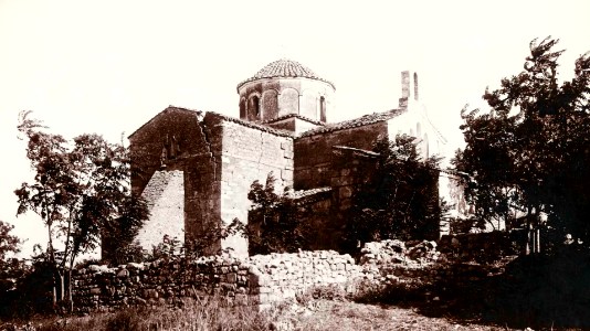
palaiokastro
maps of ports and fortresses of the mediterranean by marco boschini (1651)
bibliothèque nationale de france
1840s maps showing history
maps by thomas starling
european paintings in the cleveland museum of art
cretan school
nature
earth
border
frame
maps of saint paul's journeys
maps by thomas starling
animals
insects
building
history
animals
male
animals
sea
arthropod
animals
archaic greece
euphronios
16th-century maps of crete
old maps of candia
maps of ports and fortresses of the mediterranean by marco boschini (1651)
bibliothèque nationale de france
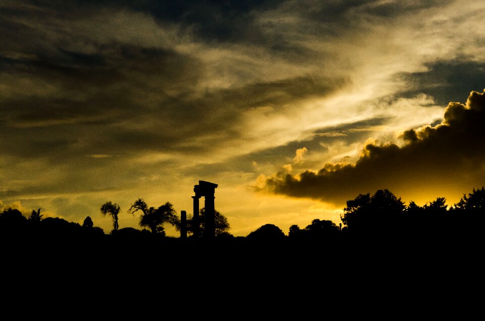
sunset
sea
travel
water
landscape
travel
wildlife
crown
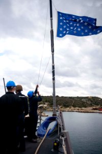
us navy
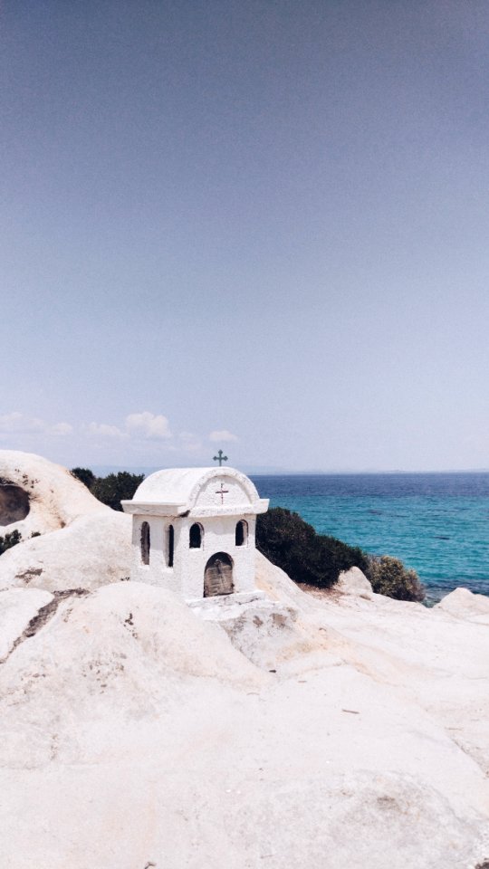
greece
landscape
water
architecture
greece
background
nature
us navy
greece
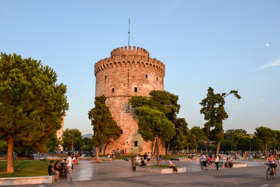
athens
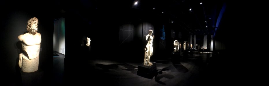
greece
statues
light
landscape
water
landscape
water
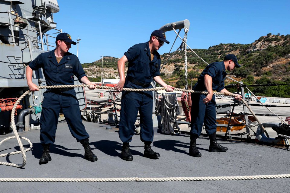
us navy
greece
us navy
greece
backpack
portrait
bibliothèque nationale de france
guillaume sanson
bulls-head stone rhyton from knossos in am of heraklion
art with blue background
historical
history
monument
statues
landscape
building
historical
history
historical
history
water
sea
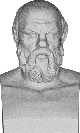
socrates
bust
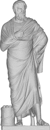
sophocles
statue
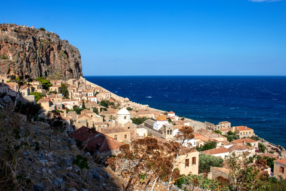
travel
stones
travel
city
stones
sea
symbol
travel
historical
history
historical
history
historical
history
historical
history
building
stones
ocean
sea
history
stones
background
stones
historical
history
historical
history
historical
history
historical
history
atlas maior, vol 2 (sweden, russia, poland, eastern europe, and greece) - joan blaeu, 1667 - bl 114.h(star).2
17th-century maps of the aegean sea
atlas maior, vol 2 (sweden, russia, poland, eastern europe, and greece) - joan blaeu, 1667 - bl 114.h(star).2
1667 maps of russia
atlas maior, vol 2 (sweden, russia, poland, eastern europe, and greece) - joan blaeu, 1667 - bl 114.h(star).2
copper engraving print
atlas maior, vol 2 (sweden, russia, poland, eastern europe, and greece) - joan blaeu, 1667 - bl 114.h(star).2
copper engraving print
monument
history
sculpture
stones
icons
stones
atlas maior, vol 2 (sweden, russia, poland, eastern europe, and greece) - joan blaeu, 1667 - bl 114.h(star).2
maps of slavonia by gerardus mercator
atlas maior, vol 2 (sweden, russia, poland, eastern europe, and greece) - joan blaeu, 1667 - bl 114.h(star).2
1667 maps of russia
uss philippine sea (cg
checkflicr
vehicle
ship
15501 - 15600 of 16,639
Next page
/ 167


![Cerigo / [par Marco Boschini], Marco Boschini, 1651](https://cdn.creazilla.com/illustrations/10000847729/cerigo-par-marco-boschini-marco-boschini-1651-sm.jpg)