Log in
All resources
Create a design
Tools
8,104 Free Images of Isle
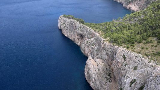
islands
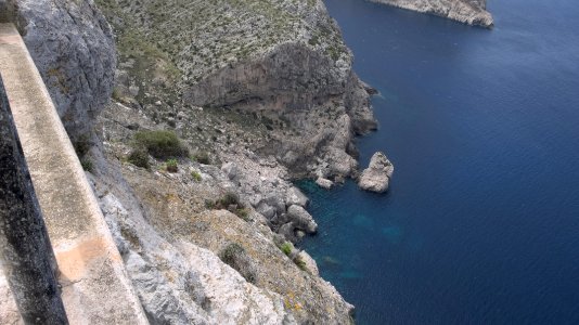
spain
mallorca
balearic islands
majorca
balearic
mediterranean sea
historical
history
palma de mallorca
landscape
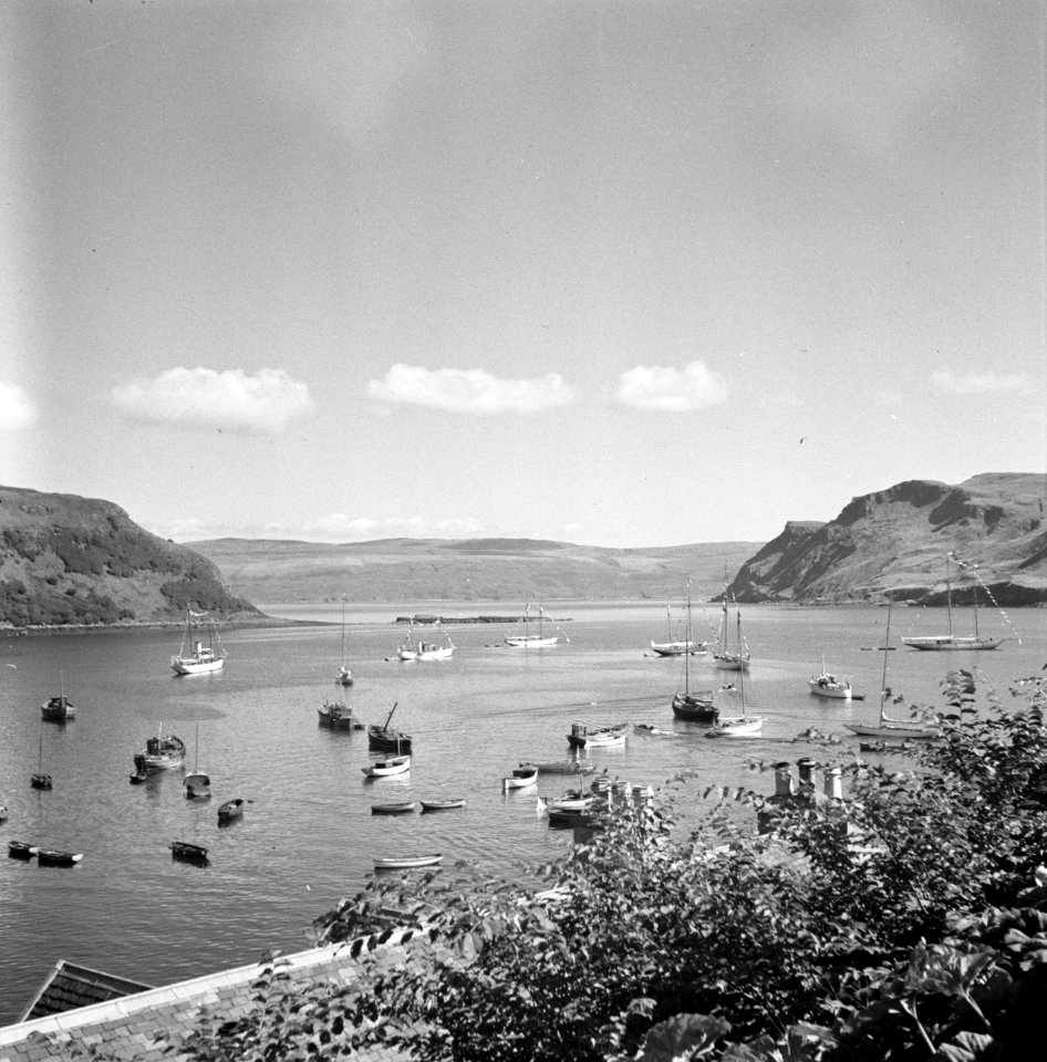
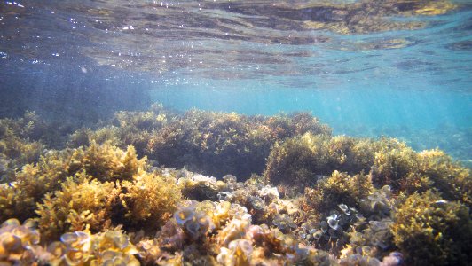
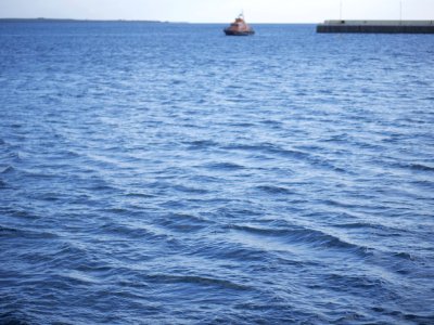
water
landscape
sea
maps from university of amsterdam special collections
atlas der neederlanden
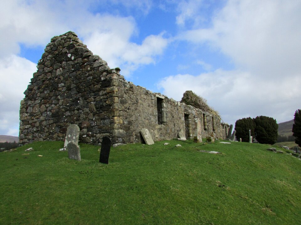
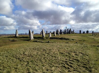
stones
grass
historical
history
historical
history
historical
history
historical
history
historical
history
historical
history
illustration
animals
illustration
maps
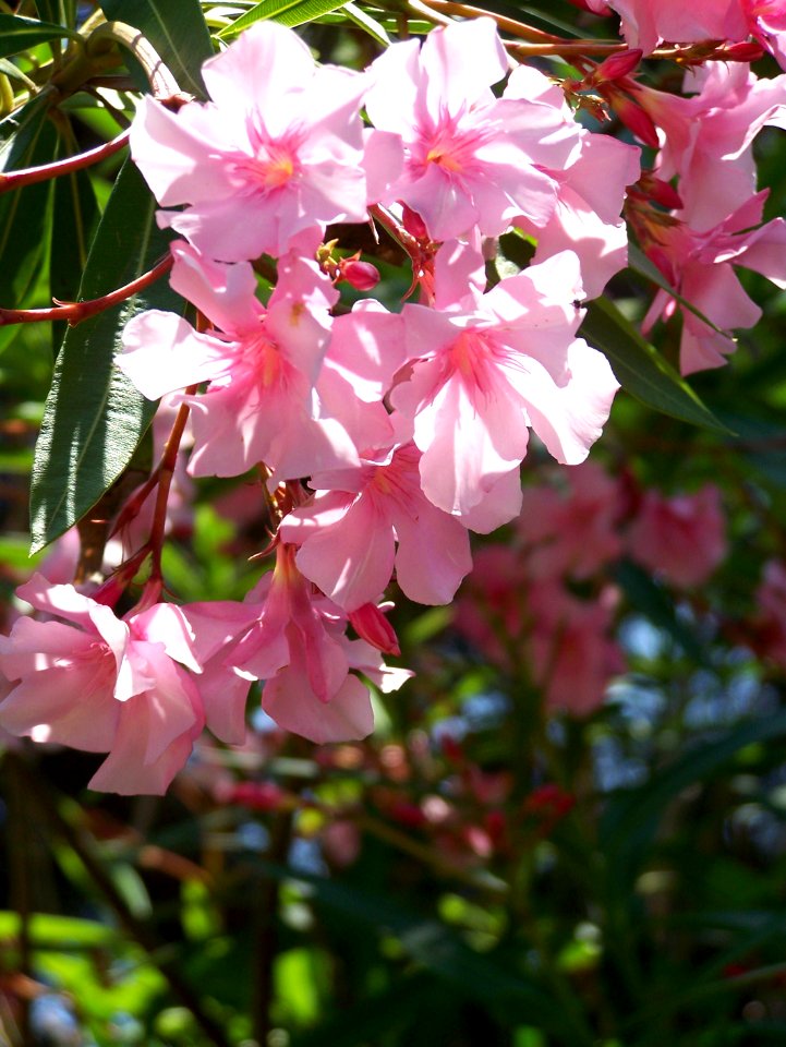
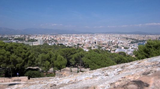
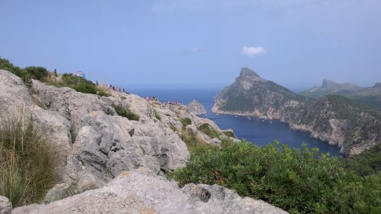
landscape
nature
landscape
travel
nature
spring
islands
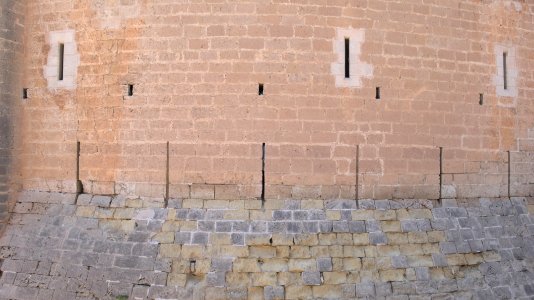
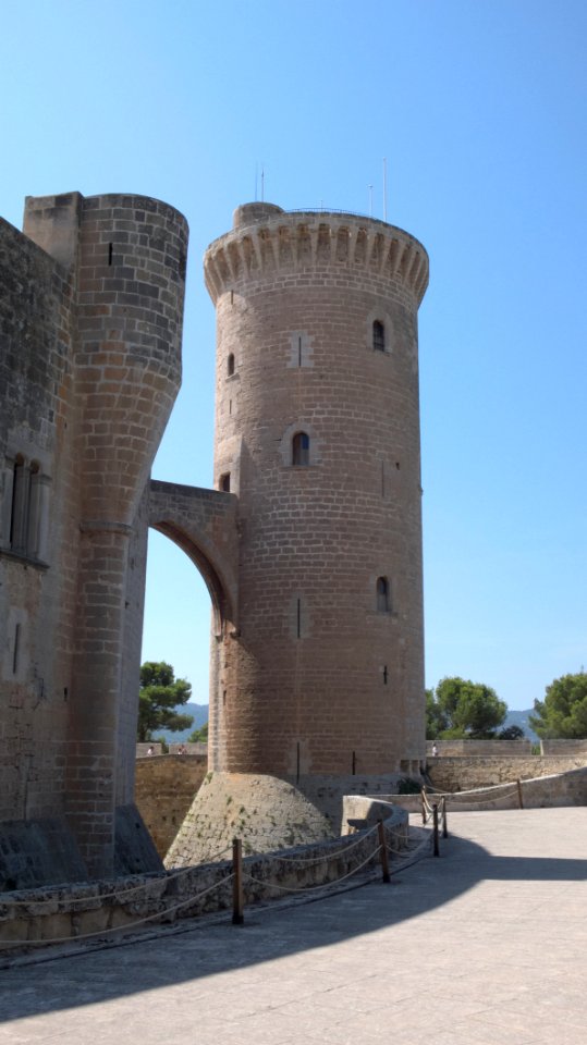
castle
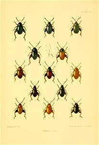
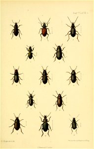
entomology
beetle
vehicle
water
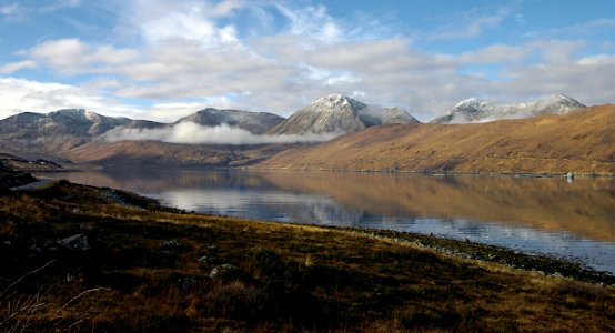
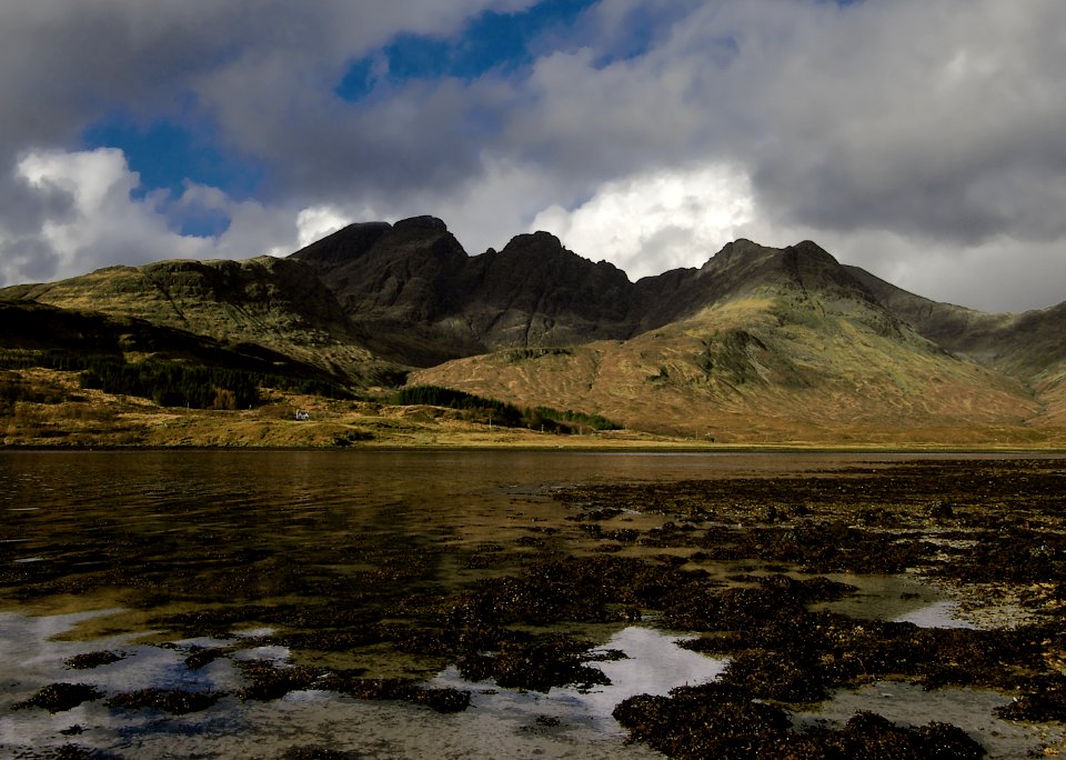
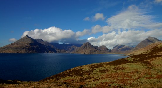
mountain
islands
islands
castle
old maps of scotland from the norman b. leventhal map center
old maps of ireland from the norman b. leventhal map center
business card us
draft
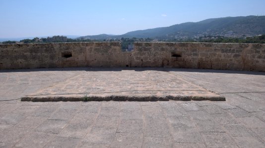
landscape
rock
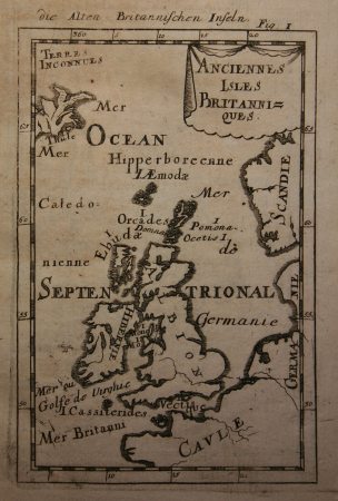
19th-century maps of the british isles
19th-century maps of the north sea
maps from the earth and its inhabitants, vol. iv
maps of portland, england
maps from the earth and its inhabitants, vol. iv
illiteracy in the united kingdom
historical
history
historical
history
the generall historie of virginia (john smith)
old maps of new england
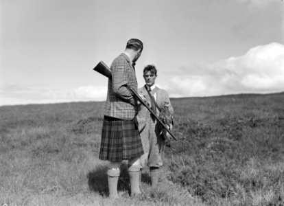
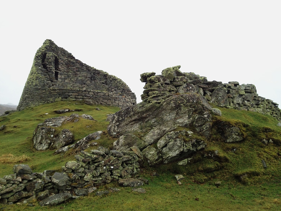
islands
castle
landscape
water
the kamehameha royal family by hugo stangenwald
daguerreotype portraits
voyage pittoresque des isles de sicile, de malte et de lipari. t. 3 (1785)
ancient roman sarcophagi in sicily
historical
history
maps in the rijksmuseum amsterdam
lucas janszoon waghenaer
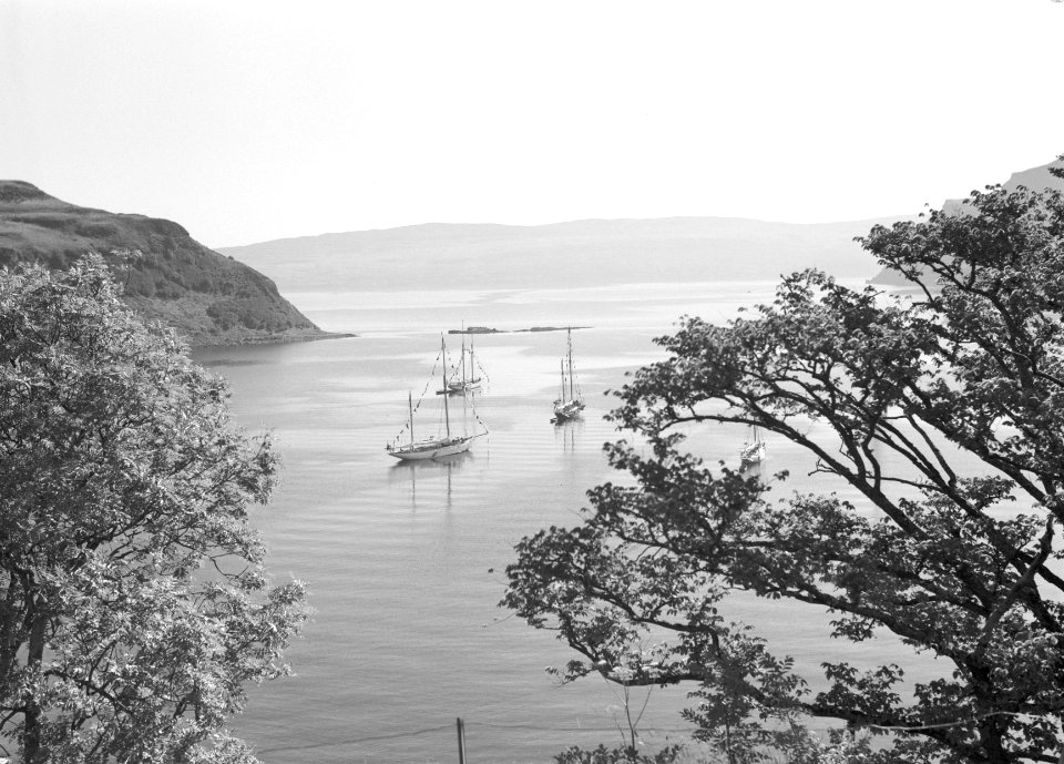
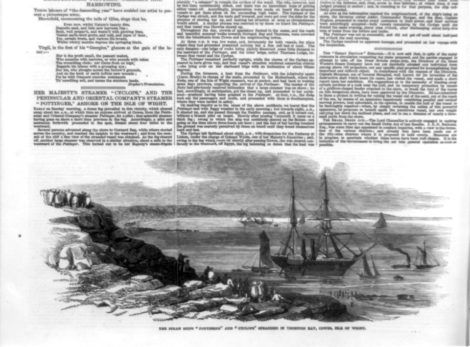
boat
ship
water
sea
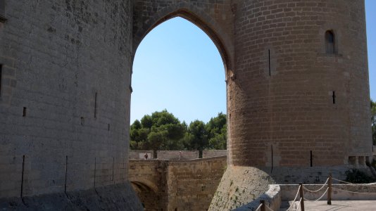
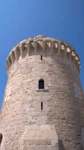
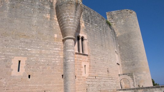
islands
castle
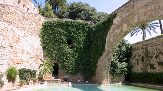
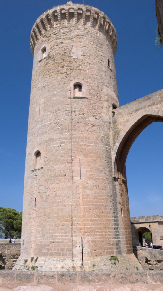
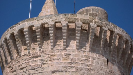
islands
castle
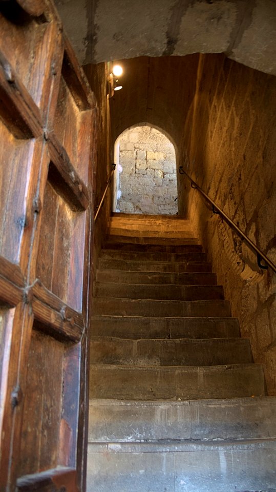
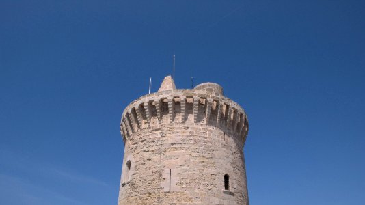
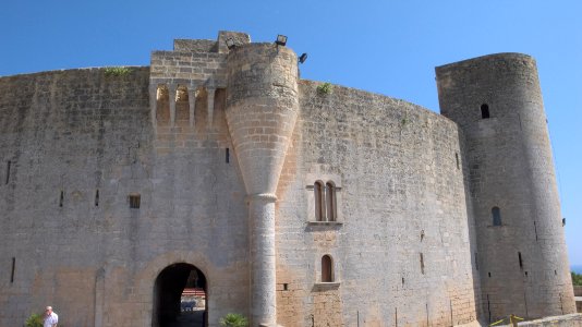
islands
queen
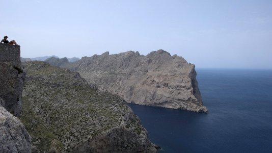
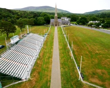
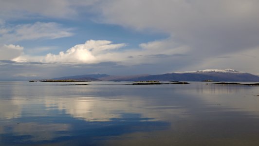
islands
castle
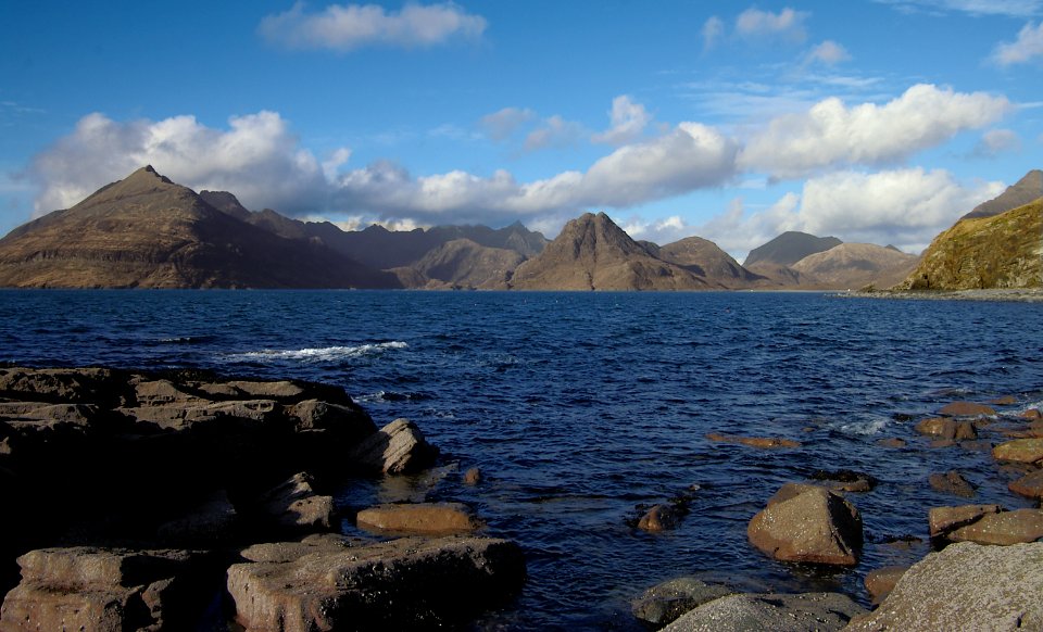
landscape
sea
islands
castle
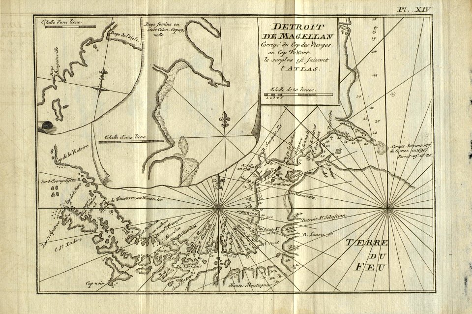
description de l'universe
alain manesson mallet
landscape
nature
maps from the earth and its inhabitants, vol. iv
linguistic maps of the united kingdom
beschrijvinghe der zee custen van engelandt tusschen wicht ende doveren, met die principale havenen ende gedaenten des selven landts - per lucas ioannem aurigarius enchusia ; ioes à doetecu. f. - btv1b53225457t
bibliothèque nationale de france
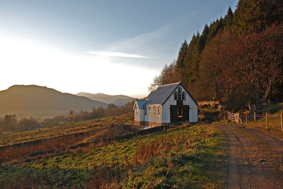
landscape
travel
landscape
rock
historical
history
historical
history
maps of weather and climate of the united kingdom
maps from the earth and its inhabitants, vol. iv
beschrijvinghe der zee custen van engelandt tusschen wicht ende doveren, met die principale havenen ende gedaenten des selven landts - per lucas ioannem aurigarius enchusia ; ioes à doetecu. f. - btv1b53225457t
bibliothèque nationale de france
entomology
beetle
historical
history
historical
history
islands
castle
islands
castle
beschrijvinghe der zee custen van engelandt tusschen wicht ende doveren, met die principale havenen ende gedaenten des selven landts - per lucas ioannem aurigarius enchusia ; ioes à doetecu. f. - btv1b53225457t
bibliothèque nationale de france
maps in the library of congress
1771 maps of north america
historical
history
historical
history
historical
history
historical
history
islands
castle
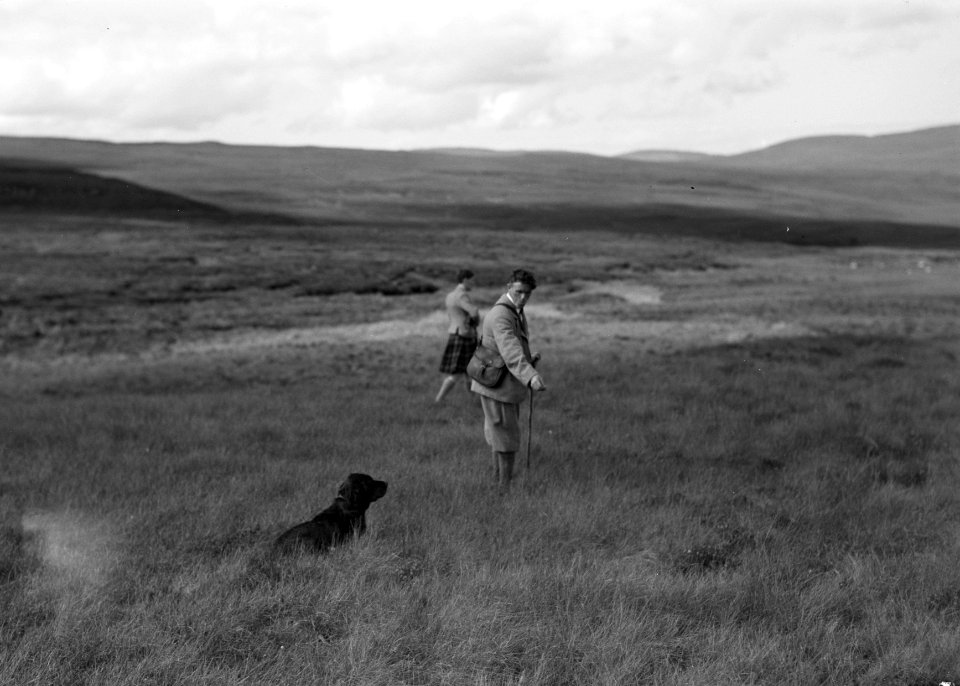
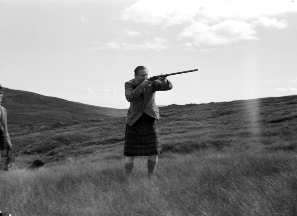
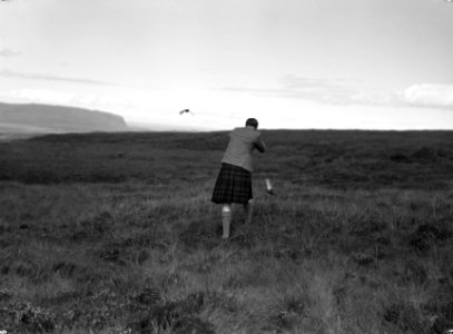
animals
dog
german
grass
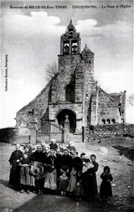
postcard
france
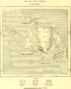
maps from the earth and its inhabitants, vol. iv
drainage basin maps of the united kingdom
maps from the earth and its inhabitants, vol. iv
isle of thanet
maps from the earth and its inhabitants, vol. iv
precipitation maps
water
sea
landscape
travel
jean-fréderic phélypeaux
guillaume dheulland
maps in the rijksmuseum amsterdam
lucas janszoon waghenaer
landscape
travel
vehicle
sea
vehicle
sea
maps from the earth and its inhabitants, vol. iv
ecclesiastical maps
saint antipas of pergamum
martyrs mirror
maps from the earth and its inhabitants, vol. iv
maps of tides
maps from the earth and its inhabitants, vol. iv
old maps of the isle of arran
historical
history
historical
history
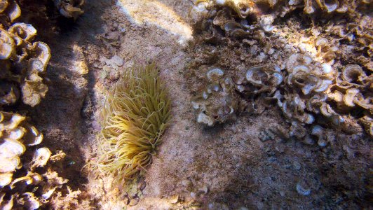
water
fish
islands
castle
landscape
rock
building
boys
landscape
sea
maps by jakob van der schley
old maps of southeast asia
historical
history
landscape
building
historical
history
oil paintings of the royal museums greenwich
1834 in art
book cover
draft
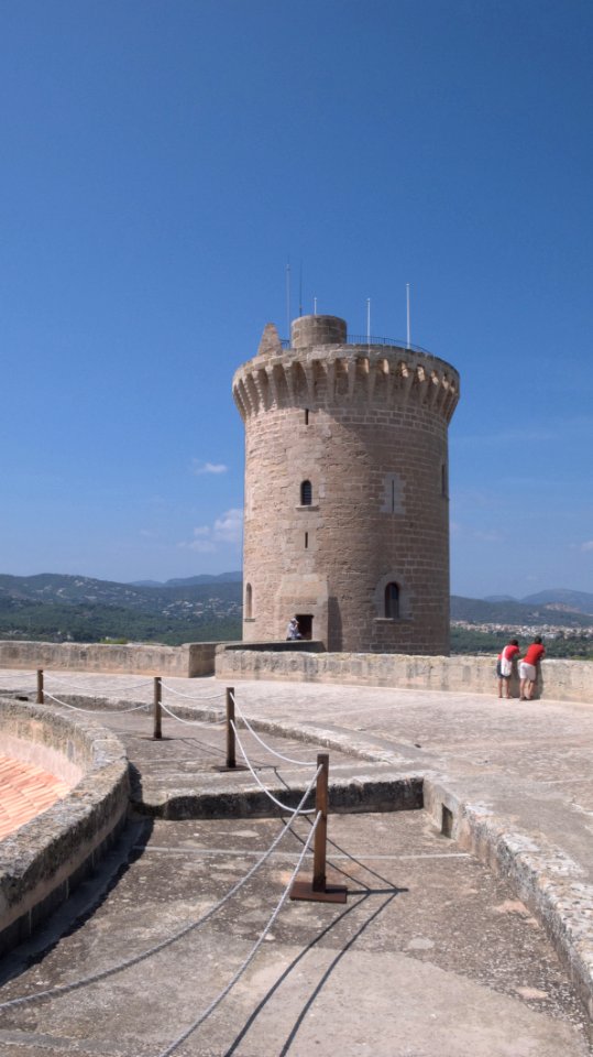
islands
castle
arthropod
animals
islands
castle
islands
castle
maps from the earth and its inhabitants, vol. iv
topographic maps of the united kingdom
7401 - 7500 of 8,104
Next page
/ 82

![Carte des Isles Philippines, Celebes et Moluccas = Map of the Philippines, Celebes, and Moluccas Islands / J. v. Schley direct, Jakob van der Schley, [1747]](https://cdn.creazilla.com/illustrations/10001211531/carte-des-isles-philippines-celebes-et-moluccas-map-of-the-philippines-celebes-and-moluccas-islands-j-v-schley-direct-jakob-van-der-schley-1747-md.jpg)