Log in
All resources
Create a design
Tools
16,724 Free Images of Language
bibliothèque nationale de france
letter
english language
ribbon
alphabet
history
historical
red
red ribbon
blue
l'asie, en plusieurs cartes nouvelles, et exactes, &c. en divers traitez de geographie, et d'histoire. là où sont descrits succinctement, & avec une belle methode, & facile. ses empires, ses... - btv1b55013761m
maps by nicolas sanson
sanson maps of south america
1719 maps of south america
alphabet
ribbon
alphabet
ribbon
alphabet
ribbon
alphabet
ribbon
alphabet
ribbon
alphabet
ribbon
cool
text
ribbon
blue
ribbon
blue
ribbon
blue
ribbon
blue
ribbon
blue
alphabet
ribbon
vintage
c
mathematics
inuit
maps of tangier by braun & hogenberg
maps of asilah by braun & hogenberg
eran laor cartographic collection
willem albert bachiene
maps of tangier by braun & hogenberg
maps of safi by braun & hogenberg
maps by pieter van der keere
old maps of basel
eran laor cartographic collection
giovanni maria cassini
old maps of bouvet island
bouvet island
maps by pieter van der keere
maps with cartouches
map of the circle of the rhineland by sanson
1670s maps of hesse
contes de fées (1908)
hind in the wood
maps of the islands of greece by marco boschini (1658)
history of sifnos
maps of the islands of greece by marco boschini (1658)
history of lemnos
1660s maps of france
old maps of nevers
context files from gallica
history of skyros
maps of heidelberg by braun & hogenberg
maps of speyer by braun & hogenberg
17th-century maps of london
baroque
maps of dunkerque by braun & hogenberg
maps of bourbourg by braun & hogenberg
aus den geheimakten des welt-detektivs
alfred roloff
astronomy
maps
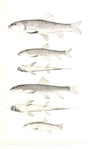
fish
maps
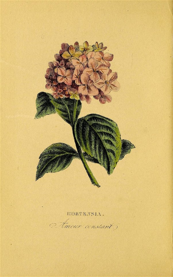
flower
leaves
flower
leaves
flower
leaves
maps of werden by braun & hogenberg
maps of essen by braun & hogenberg
maps of mons (hainaut) by braun & hogenberg
maps of arras by braun & hogenberg
maps by pieter van der keere
old maps of bohemia
maps of île-de-france by françois de la guillotière
bibliothèque nationale de france
maps by willem and johannes blaeu
17th-century maps of bourgogne
maps of algiers by braun & hogenberg
bibliothèque nationale de france
maps of morocco by mercator-hondius
bibliothèque nationale de france
maps by jodocus hondius ii
17th-century maps of asia
maps of algiers by braun & hogenberg
bibliothèque nationale de france
territorium argentoratense (1652 map)
bibliothèque nationale de france
bibliothèque nationale de france
luca bertelli
maps of provence by pierre-jean de bompar
maps by hendrik hondius the younger
maps of chester by braun & hogenberg
bibliothèque nationale de france
maps by willem and johannes blaeu
17th-century maps of dombes
maps of frankenberg (eder) by braun & hogenberg
bibliothèque nationale de france
nova orbis terrarum geographica ac hydrographica tabula ex optimis in hoc opere auctoribus desumpta - auctore petro koerio - btv1b72002625
bibliothèque nationale de france
scenographia totius fabricae s. laurentii in escoriali - btv1b53194502f
braun & hogenberg
maps of enkhuizen by braun & hogenberg
bibliothèque nationale de france
bibliothèque nationale de france
guillaume sanson
maps of damascus by braun & hogenberg
bibliothèque nationale de france
nova orbis terrarum geographica ac hydrographica tabula ex optimis in hoc opere auctoribus desumpta - auctore petro koerio - btv1b72002625
bibliothèque nationale de france
bibliothèque nationale de france
guillaume sanson
maps of agnano and grotta del cane by braun & hogenberg
bibliothèque nationale de france
bibliothèque nationale de france
sanson maps of asia
maps of châteaudun by braun & hogenberg
maps of chartres by braun & hogenberg
maps of dordrecht by braun & hogenberg
bibliothèque nationale de france
maps of the magellan straits by lambert cornelis
bibliothèque nationale de france
maps of chios by braun & hogenberg
bibliothèque nationale de france
chorographia britanniae (1741-1742)
1741 in england
bibliothèque nationale de france
guillaume sanson
historical
history
historical
history
historical
history
historical
history
historical
history
historical
history
voyages and travels to india, ceylon, the red sea, abyssinia, and egypt, vol. 2
robert pollard (engraver)
old maps of french guiana
1630s maps of brazil
alphabet
ribbon
ribbon
blue
ribbon
blue
ribbon
blue
vintage
o
vintage
c
vintage
b
historical
history
historical
history
historical
history
historical
history
paintings in the hunterian museum and art gallery
edward arthur walton
maps of rivers of equatorial guinea
komo (river)
media contributed by university of illinois urbana-champaign university library
world war i posters of france (advertisements for loans)
eran laor cartographic collection
claes jansz. visscher (ii)
maps of philippeville by braun & hogenberg
maps of mariembourg by braun & hogenberg
maps of salzburg by braun & hogenberg
maps of ulm by braun & hogenberg
old maps of atlantis
island of california
limousin (province) by century
jean fayen
maps of duisburg by braun & hogenberg
maps of emmerich by braun & hogenberg
maps of the firth of forth
old maps of fife
17th-century maps of luxembourg
maps by pieter van der keere
daguerreotypes by mathew brady
depictions of frederic baraga
12201 - 12300 of 16,724
Next page
/ 168


![Fessae et Marocchi regna / [Jodocus Hondius], 1600s](https://cdn.creazilla.com/illustrations/10000787674/fessae-et-marocchi-regna-jodocus-hondius-1600s-md.jpg)