Log in
All resources
Create a design
Tools
16,724 Free Images of Language
bibliothèque nationale de france
atlas géographique des quatre parties du monde (delisle)
letter
english language
alphabet
history
historical
guillaume sanson
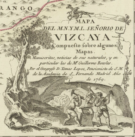
maps of spain by tomas lopez
maps of ports and fortresses of the mediterranean by marco boschini (1651)
atlas géographique des quatre parties du monde (delisle)
bibliothèque nationale de france
atlas géographique des quatre parties du monde (delisle)
bibliothèque nationale de france
atlas géographique des quatre parties du monde (delisle)
bibliothèque nationale de france
maps by pieter mortier
maps from gallica
bibliothèque nationale de france
guillaume sanson
bibliothèque nationale de france
guillaume sanson
maps from gallica
guides joanne
oost-frise, ou le comté d'embden subdivisé en ses principales juridictions - par le sr. sanson - btv1b53202444d
guillaume sanson
atlas géographique des quatre parties du monde (delisle)
bibliothèque nationale de france
atlas géographique des quatre parties du monde (delisle)
bibliothèque nationale de france
1777 maps of south america
maps by thomas kitchin
maps of ports and fortresses of the mediterranean by marco boschini (1651)
bibliothèque nationale de france
carte de barbarie, nigritie, guinée par guillaume delisle (1707)
bibliothèque nationale de france
carte de la mer méditerranée en trois feuilles (dheulland et al.)
18th-century maps of the western mediterranean
atlas géographique des quatre parties du monde (delisle)
bibliothèque nationale de france
atlas géographique des quatre parties du monde (delisle)
bibliothèque nationale de france
bibliothèque nationale de france
prints by ambrogio brambilla
bibliothèque nationale de france
cartouches by tomas lópez
bibliothèque nationale de france
guillaume sanson
maps of ports and fortresses of the mediterranean by marco boschini (1651)
bibliothèque nationale de france
17th-century maps of xaintonge
maps by jodocus hondius ii
maps by willem and johannes blaeu
17th-century maps of xaintonge
john russell (painter)
old maps of the moon
maps of ports and fortresses of the mediterranean by marco boschini (1651)
palaiokastro
1762 maps of north america
maps by tomas lopez
john russell (painter)
old maps of the moon
atlas géographique des quatre parties du monde (delisle)
bibliothèque nationale de france
mapa del principado de cataluña (1776)
maps of spain by tomas lopez
mapa del principado de cataluña (1776)
cartouches by tomas lópez
17th-century maps of transylvania
maps by willem and johannes blaeu
bibliothèque nationale de france
ambroise tardieu
atlas géographique des quatre parties du monde (delisle)
bibliothèque nationale de france
atlas géographique des quatre parties du monde (delisle)
bibliothèque nationale de france
carte des régences d'alger by hérisson
bibliothèque nationale de france
bibliothèque nationale de france
maps by tomas lopez
astronomy
maps
iceland
maps
hippie
peace
juan de la cruz cano y olmedilla
1755 maps of north america
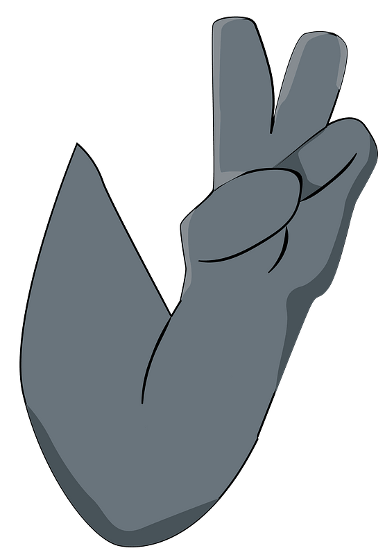
peace sign
hand sign
alphabet
ribbon
typography
music
typography
music
typography
music
typography
music
ornament
wine
ornament
wine
symbol
heart
children
mother
maps of wissembourg by braun & hogenberg
maps of colmar by braun & hogenberg
maps of île-de-france by françois de la guillotière
context files from gallica
old maps of curaçao
johannes leupenius
high renaissance
pirro ligorio
eran laor cartographic collection
isaak tirion
landkreis eichsfeld in the 17th century
maps from gallica
maps of spain by tomas lopez
1765 maps of spain
1780s maps of the americas
1787 maps
maps of spain by tomas lopez
old maps of navarre
maps of spain by tomas lopez
old maps of navarre
maps of spain by tomas lopez
1766 maps of spain
maps of álava-araba
1770 maps of spain
maps of vangiones by sanson
1670s maps of hesse
maps of spain by tomas lopez
1765 maps of spain
renaissance paintings in the walters art museum
dirck de vries
maps by jan eduard wagner
1890s maps of czechia
cartouche (cartography)
jean-claude dezauche
17th-century maps of crete
old maps of candia
1770s maps of the americas
1775 maps
old maps of the republic of genoa
maps by willem and johannes blaeu
speech balloon
callout
fantasy
celtic
ribbon
blue
ribbon
blue
typography
music
ornament
wine
ornament
wine
ornament
wine
ornament
wine
italy
flag
drawings of landscapes by enrico alberto d'albertis
1894 drawings in italy
historical
history
historical
history
historical
history
historical
history
historical
history
historical
history
historical
history
historical
history
historical
history
bibliothèque nationale de france
cartouches by tomas lópez
atlas géographique des quatre parties du monde (delisle)
bibliothèque nationale de france
maps of ports and fortresses of the mediterranean by marco boschini (1651)
bibliothèque nationale de france
atlas géographique des quatre parties du monde (delisle)
bibliothèque nationale de france
bibliothèque nationale de france
guillaume sanson
maps of ports and fortresses of the mediterranean by marco boschini (1651)
bibliothèque nationale de france
bibliothèque nationale de france
guillaume sanson
l'alsace divisée en ses principales parties, dressée sur les mémoires les plus nouveaux - par le sr.sanson... - btv1b530329041
guillaume sanson
bibliothèque nationale de france
guillaume sanson
maps of south america by mercator-hondius
bibliothèque nationale de france
statue equestre de louis le bien aimé erigée le 14 février 1763 - le charpentier sculpsit ; de seve delinaevit - btv1b53181657s
bibliothèque nationale de france
13001 - 13100 of 16,724
Next page
/ 168


![Western part of Swedish Lapponia taken from those of Andr[é] Burae[us] and Isaac Massa / By Sr. Sanson, ..., 1741](https://cdn.creazilla.com/illustrations/10000654352/western-part-of-swedish-lapponia-taken-from-those-of-andr-buraeus-and-isaac-massa-by-sr-sanson-1741-md.jpg)

