Log in
All resources
Create a design
26,134 Free Images of Loc
maps in the library of congress
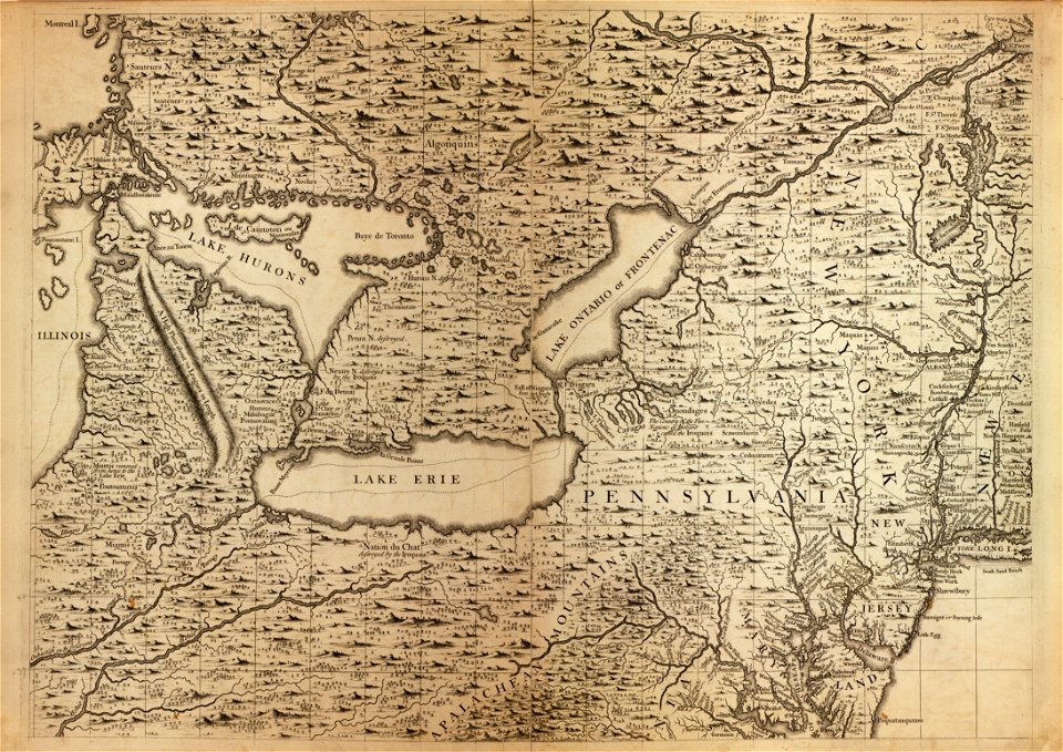
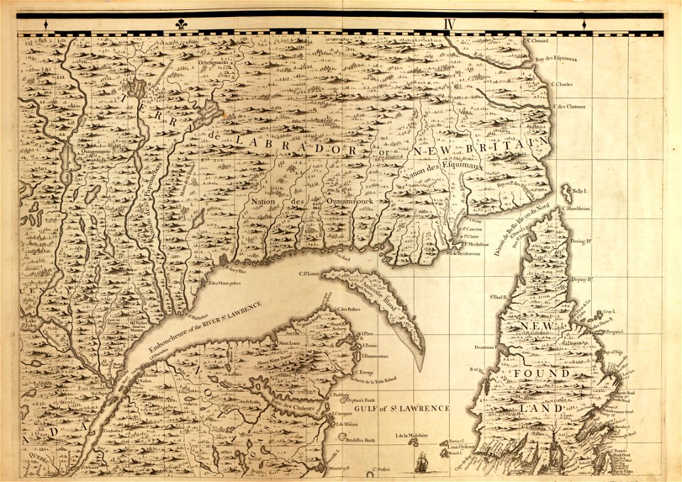
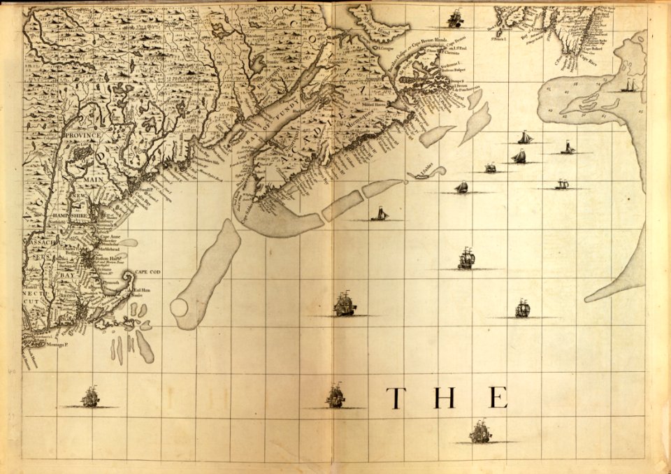
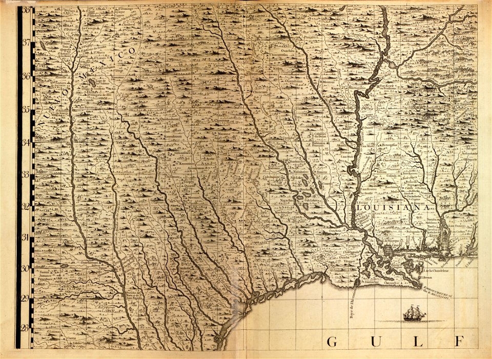
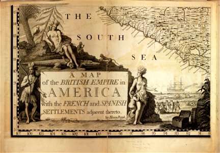
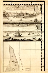
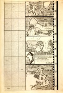
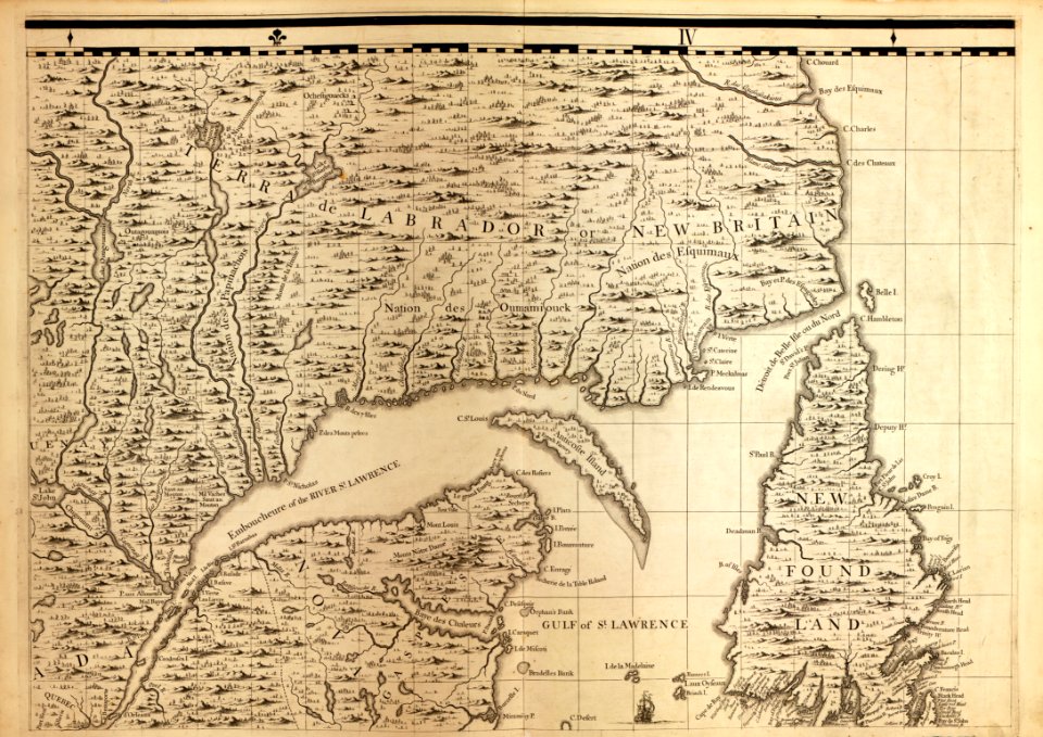
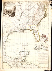
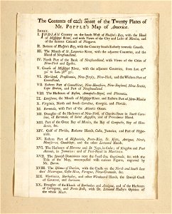
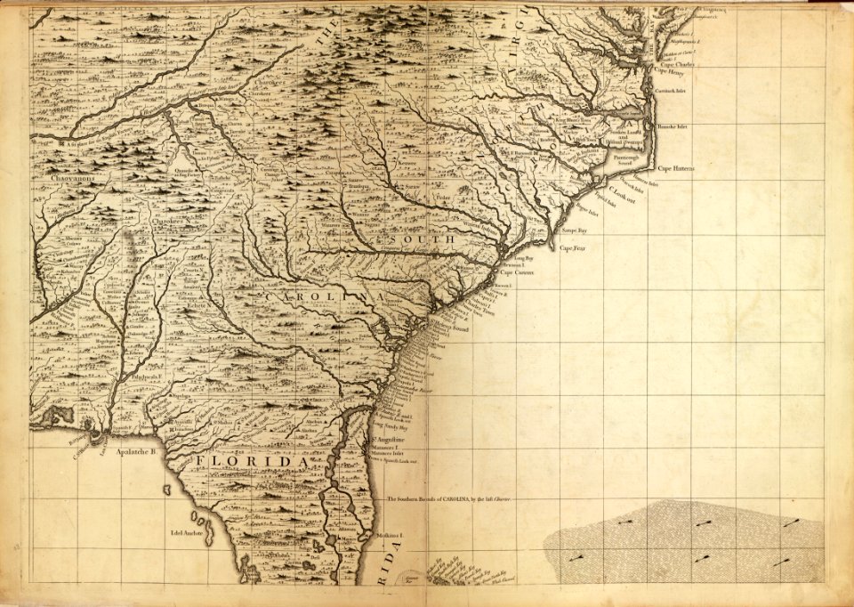
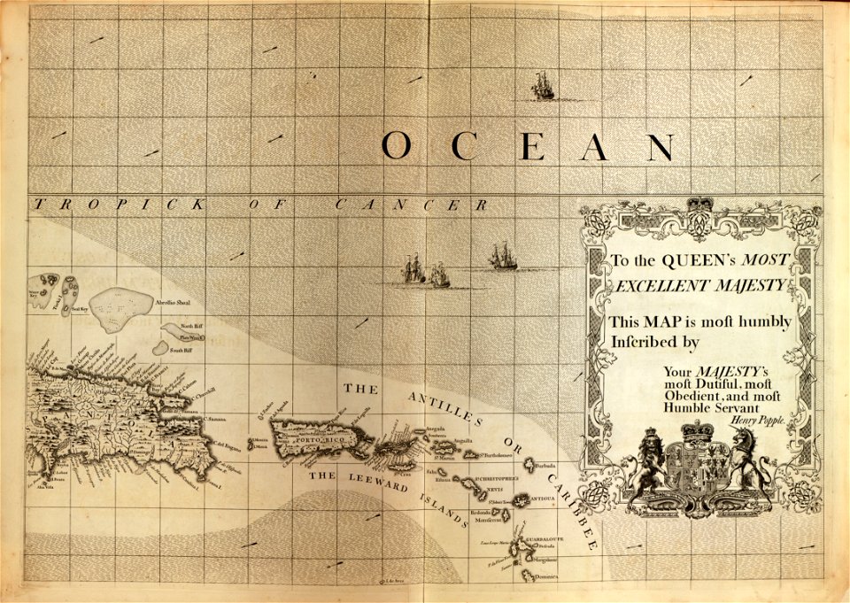
a map of the british empire in america with the french and spanish settlements adjacent thereto
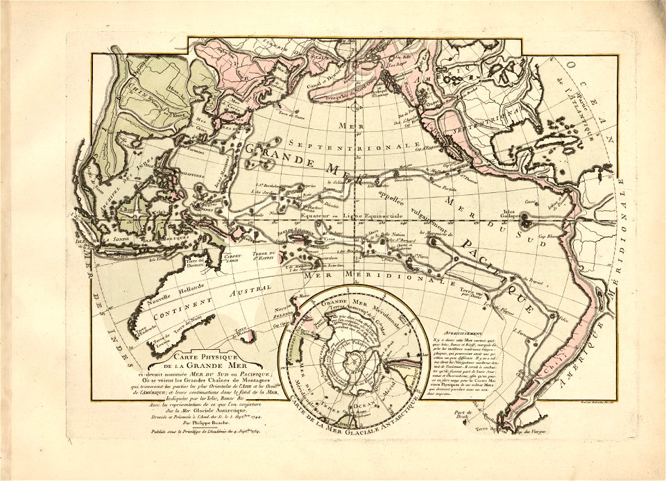
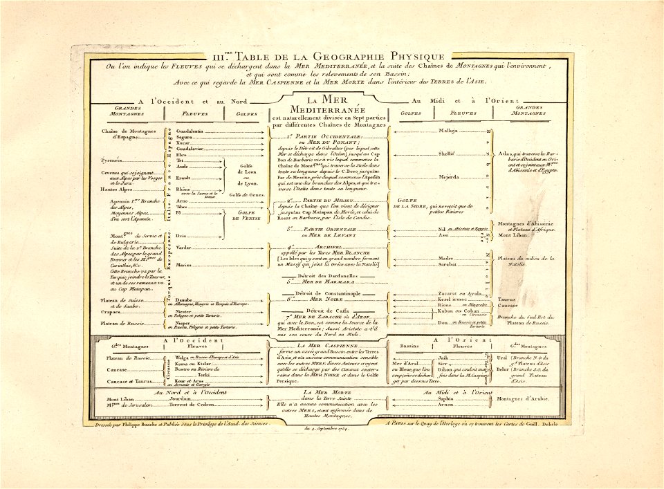
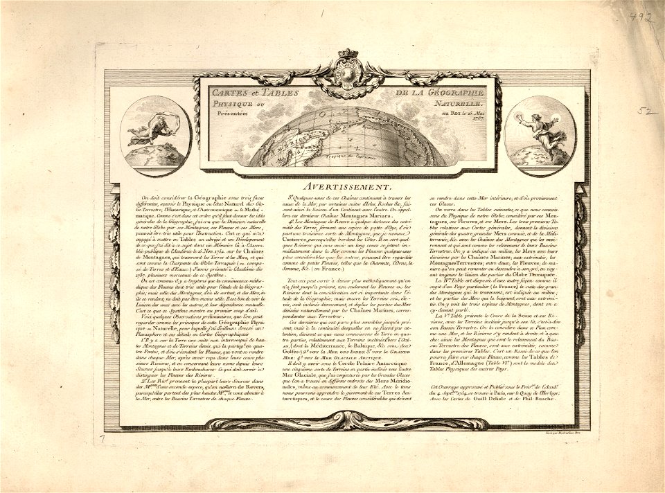
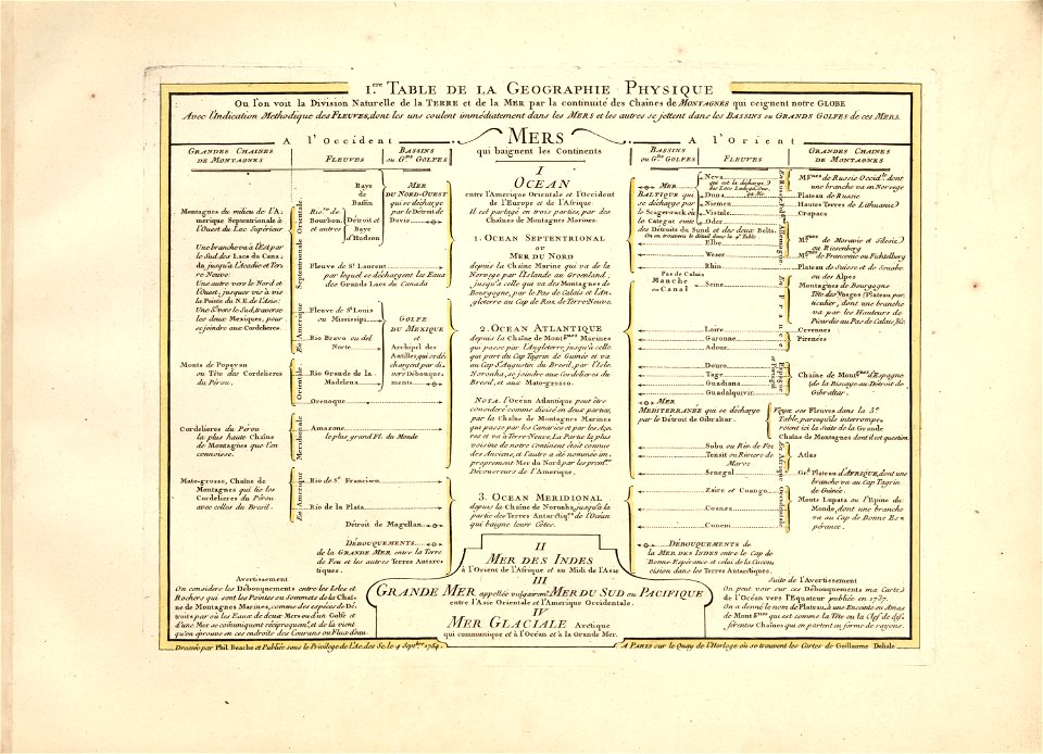
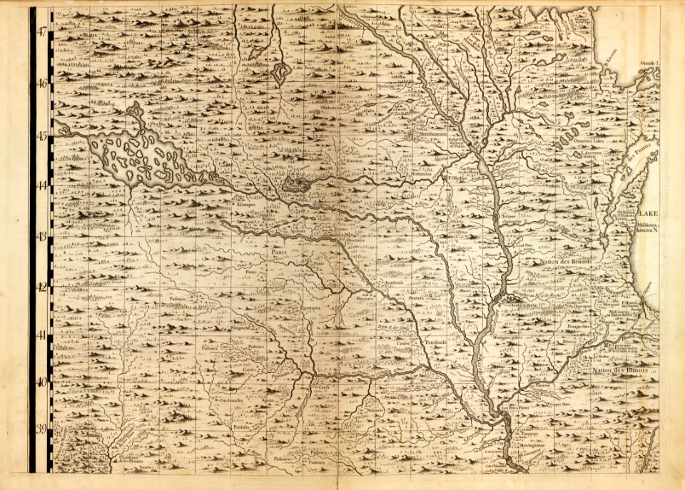
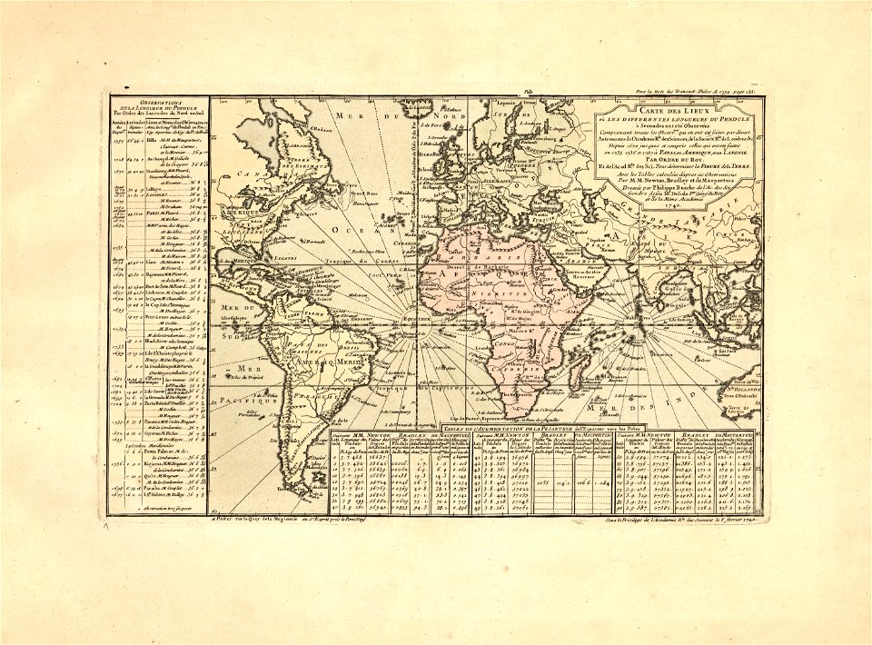
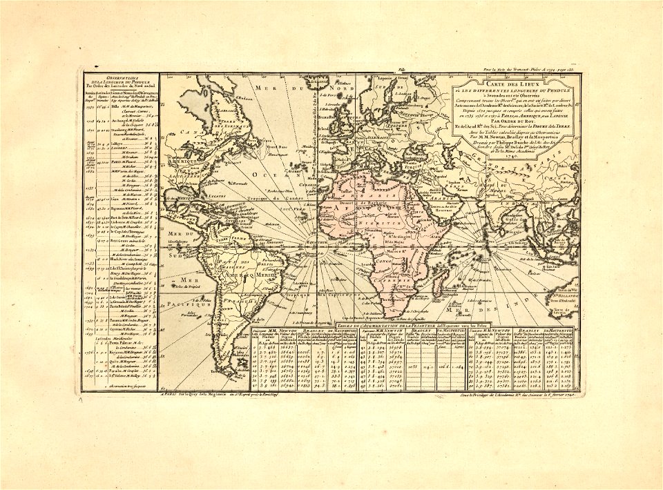
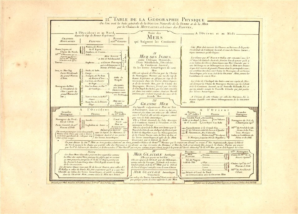
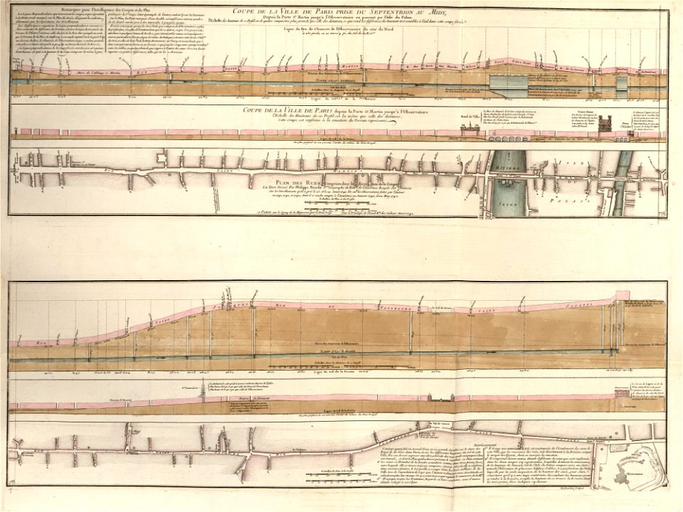
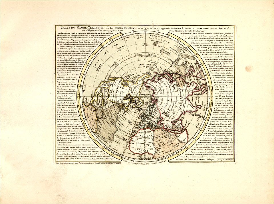
cartes et tables de la géographie physique ou naturelle
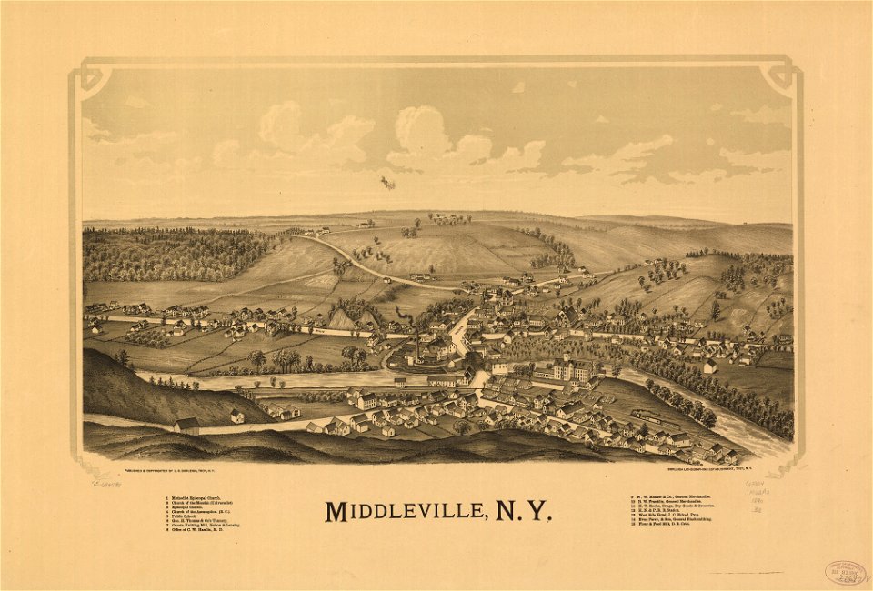
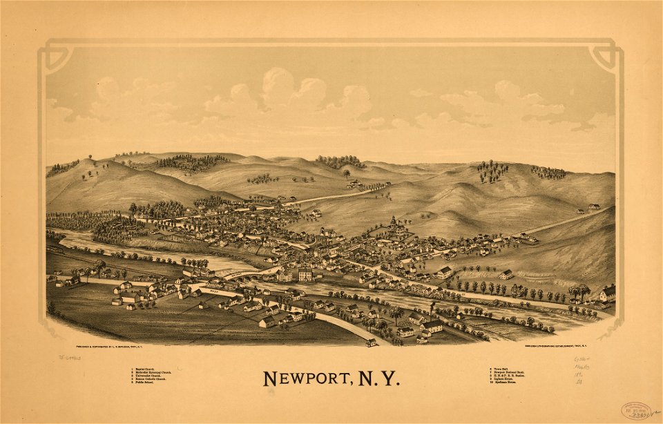
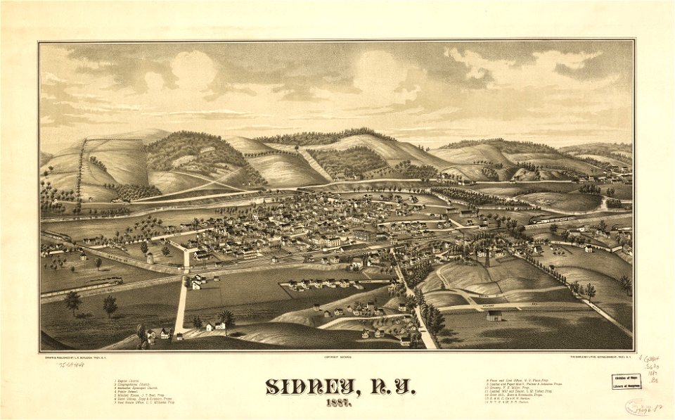
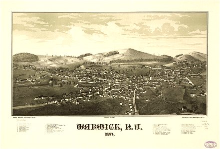
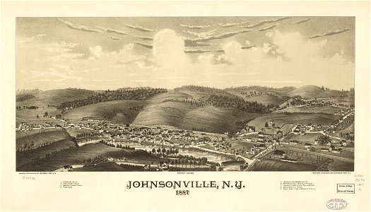
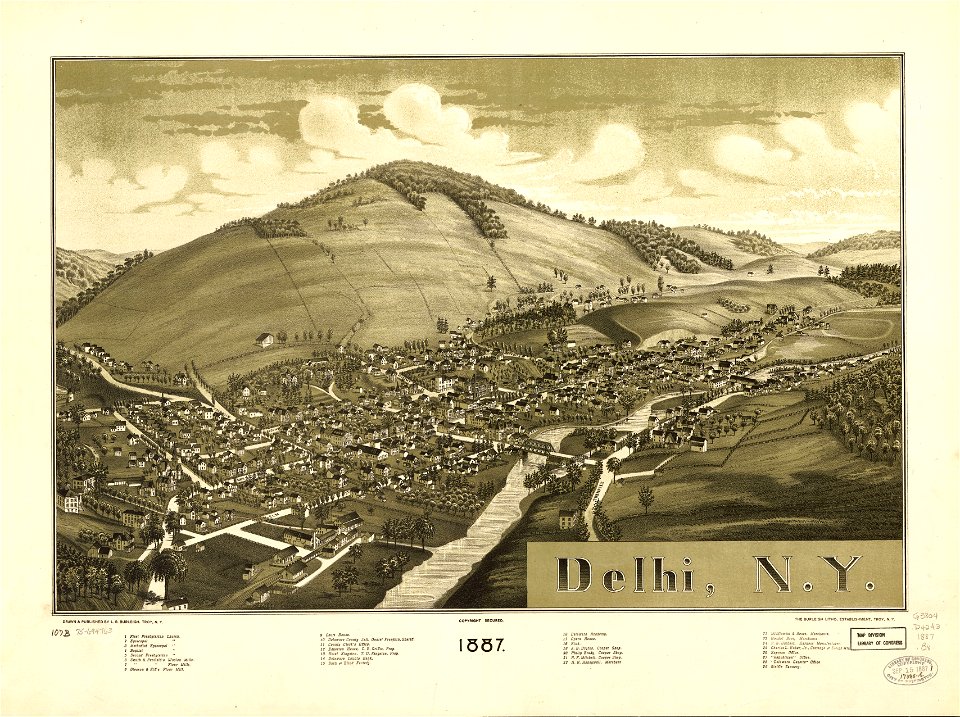
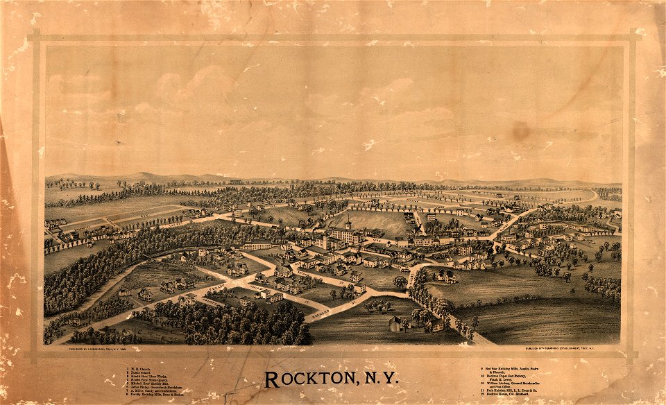
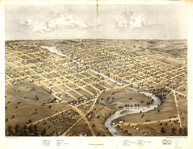
l. r. burleigh
new york
town maps by l. r. burleigh
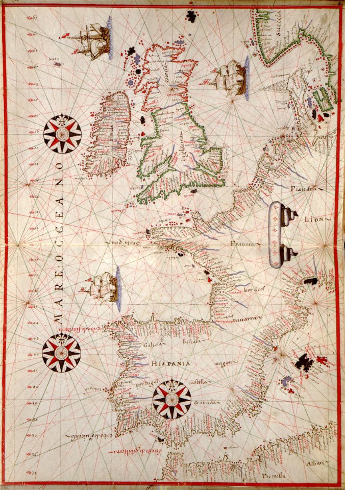
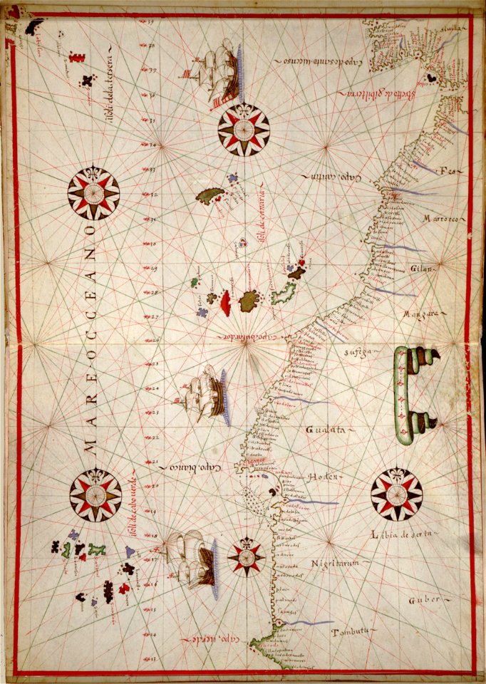
western europe
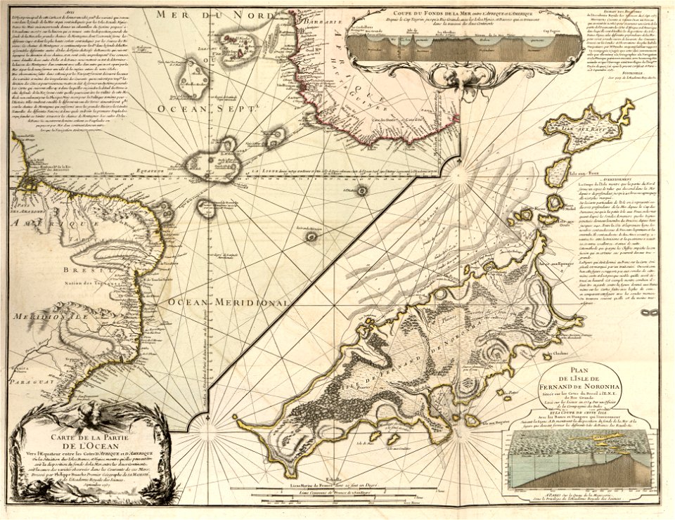
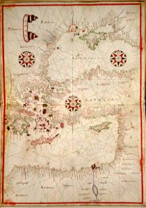
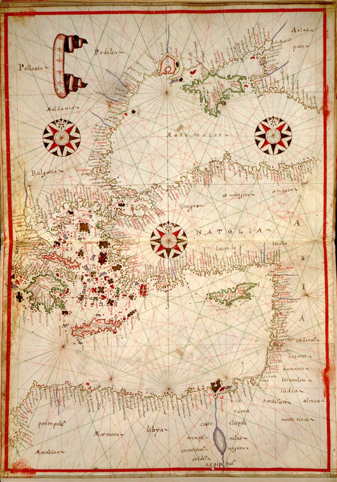
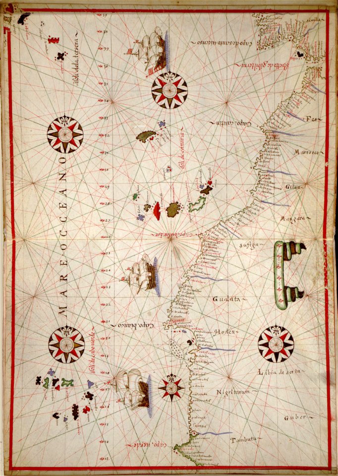
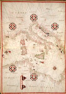
portolan atlas of the mediterranean sea
and the northwest coast of africa
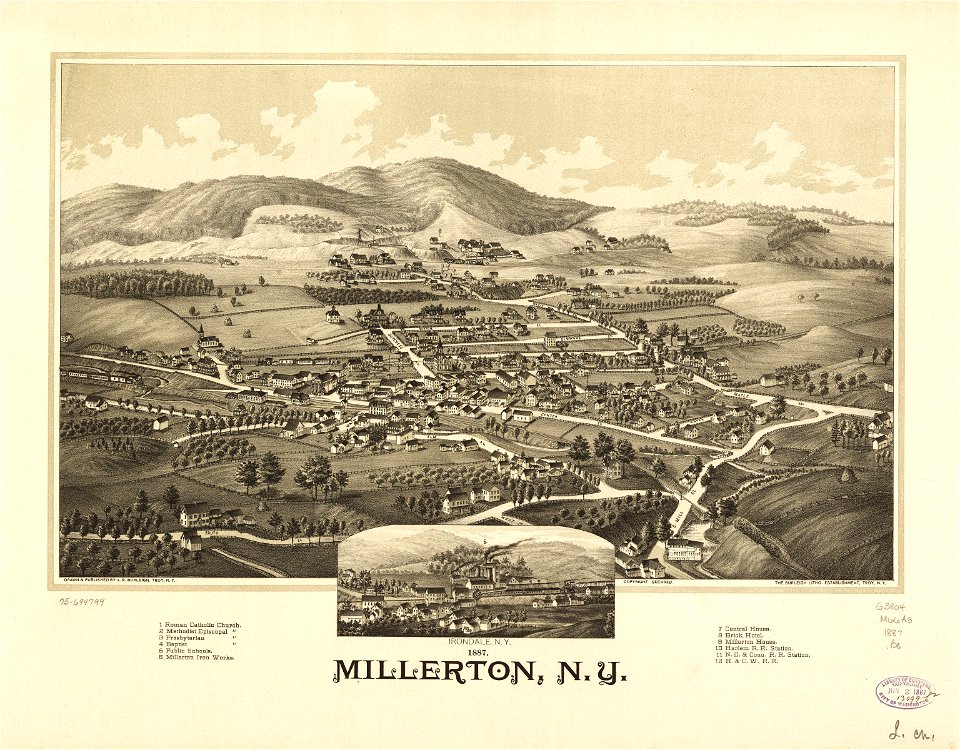
1887 maps of new york (state)
maps in the library of congress
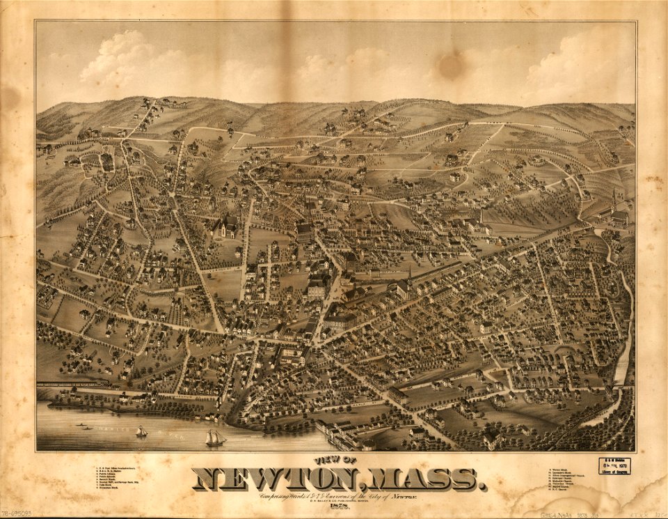
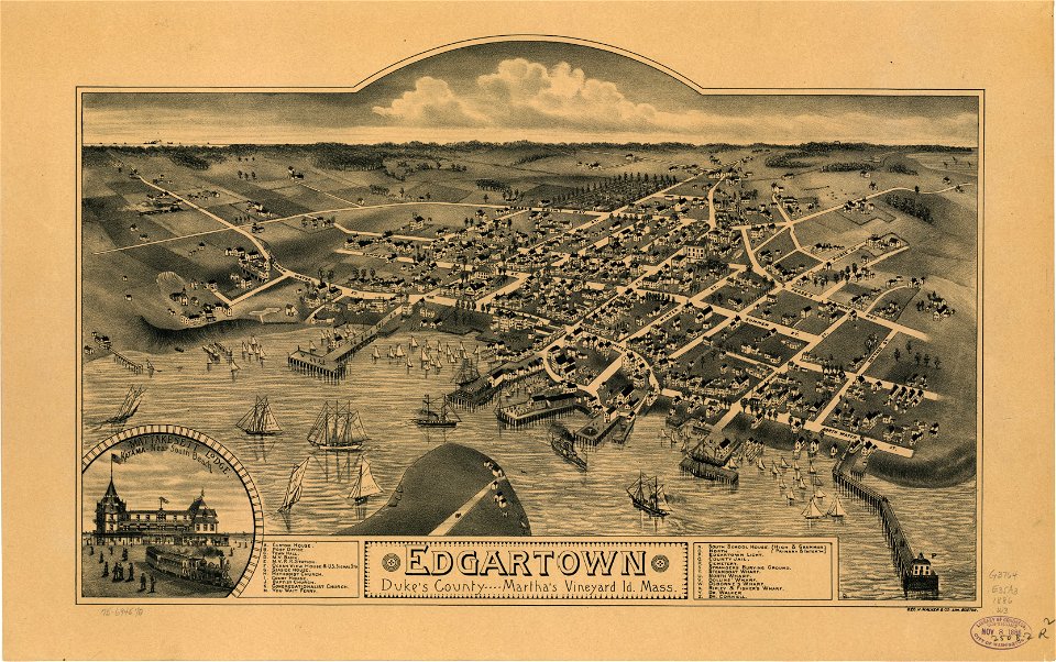
massachusetts
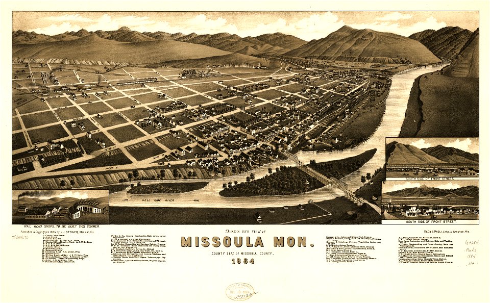
missoula
montana
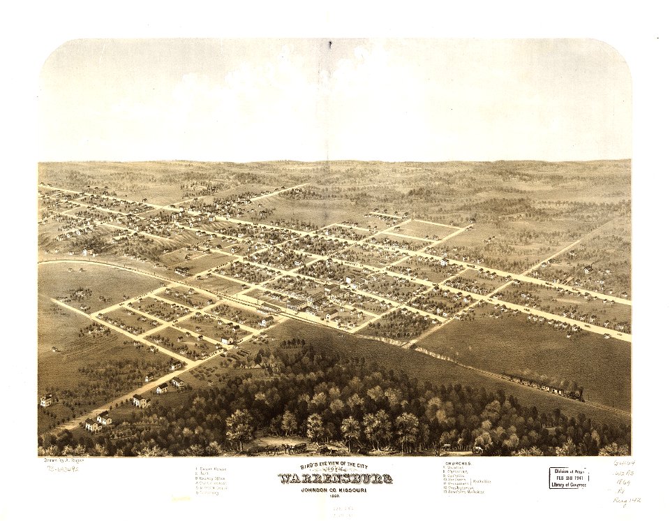
maps in the library of congress
missouri
maps in the library of congress
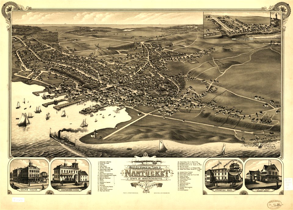
massachusetts
maps in the library of congress
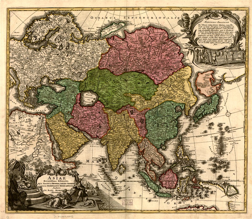
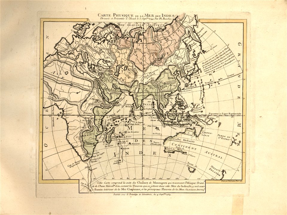
old maps of asia
maps in the library of congress
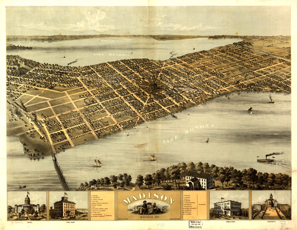
wisconsin
maps in the library of congress
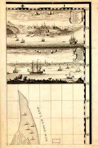
new york
new york
newport
maps in the library of congress
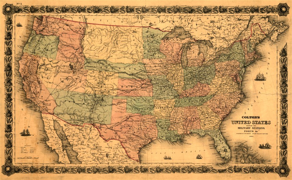
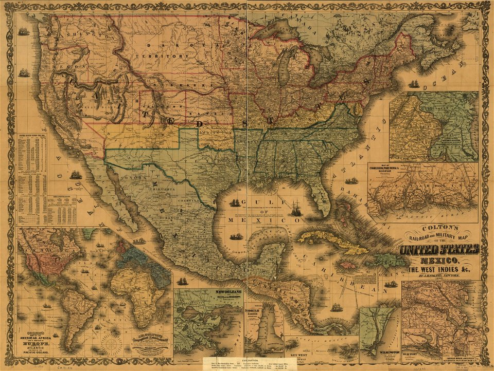
1861 maps
new york
deposits
new york
sidney
maps in the library of congress
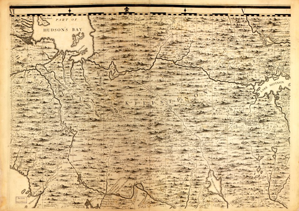
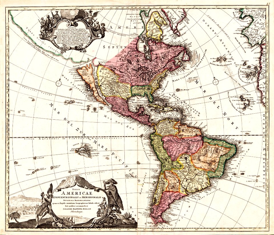
1782 maps of north america
new york
warwick
massachusetts
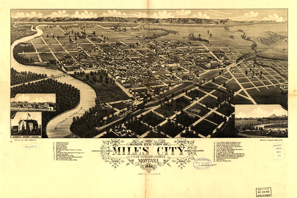
o. h. bailey
a map of the british empire in america with the french and spanish settlements adjacent thereto
maps in the library of congress
a map of the british empire in america with the french and spanish settlements adjacent thereto
maps in the library of congress
a map of the british empire in america with the french and spanish settlements adjacent thereto
maps in the library of congress
a map of the british empire in america with the french and spanish settlements adjacent thereto
maps in the library of congress
a map of the british empire in america with the french and spanish settlements adjacent thereto
maps in the library of congress
a map of the british empire in america with the french and spanish settlements adjacent thereto
maps in the library of congress
a map of the british empire in america with the french and spanish settlements adjacent thereto
maps in the library of congress
a map of the british empire in america with the french and spanish settlements adjacent thereto
maps in the library of congress
a map of the british empire in america with the french and spanish settlements adjacent thereto
maps in the library of congress
a map of the british empire in america with the french and spanish settlements adjacent thereto
maps in the library of congress
a map of the british empire in america with the french and spanish settlements adjacent thereto
maps in the library of congress
a map of the british empire in america with the french and spanish settlements adjacent thereto
maps in the library of congress
a map of the british empire in america with the french and spanish settlements adjacent thereto
maps in the library of congress
a map of the british empire in america with the french and spanish settlements adjacent thereto
maps in the library of congress
a map of the british empire in america with the french and spanish settlements adjacent thereto
maps in the library of congress
maps in the library of congress
new york
maps in the library of congress
old maps of israel
maps in the library of congress
new york
miles city
montana
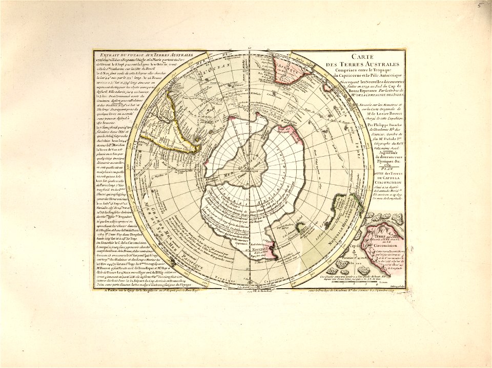
cartes et tables de la géographie physique ou naturelle
maps in the library of congress
cartes et tables de la géographie physique ou naturelle
maps in the library of congress
cartes et tables de la géographie physique ou naturelle
maps in the library of congress
cartes et tables de la géographie physique ou naturelle
maps in the library of congress
cartes et tables de la géographie physique ou naturelle
maps in the library of congress
cartes et tables de la géographie physique ou naturelle
maps in the library of congress
cartes et tables de la géographie physique ou naturelle
maps in the library of congress
cartes et tables de la géographie physique ou naturelle
maps in the library of congress
cartes et tables de la géographie physique ou naturelle
maps in the library of congress
cartes et tables de la géographie physique ou naturelle
maps in the library of congress
cartes et tables de la géographie physique ou naturelle
maps in the library of congress
new york
delhi
o. h. bailey
1880 maps
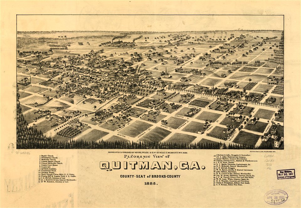
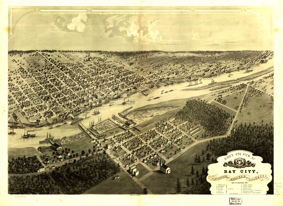
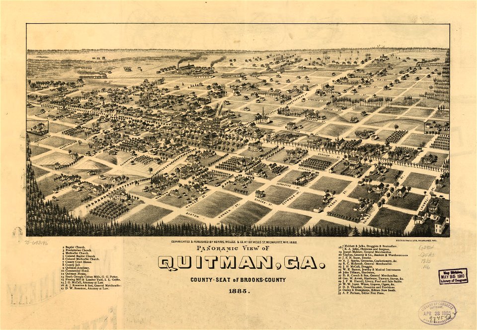
georgia
quitman
maps in the library of congress
new york
maps in the library of congress
western europe
maps in the library of congress
western europe
maps in the library of congress
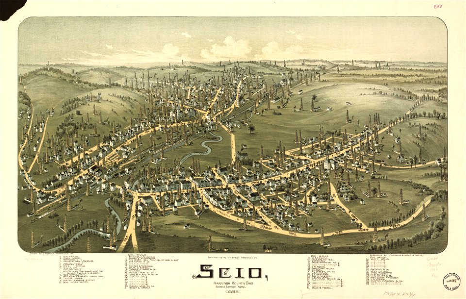
ohio
maps in the library of congress
1782 maps of north america
maps in the library of congress
western europe
maps in the library of congress
western europe
maps in the library of congress
western europe
maps in the library of congress
western europe
wisconsin
watertown
a map of the british empire in america with the french and spanish settlements adjacent thereto
maps in the library of congress
a map of the british empire in america with the french and spanish settlements adjacent thereto
maps in the library of congress
a map of the british empire in america with the french and spanish settlements adjacent thereto
maps in the library of congress
a map of the british empire in america with the french and spanish settlements adjacent thereto
maps in the library of congress
a map of the british empire in america with the french and spanish settlements adjacent thereto
maps in the library of congress
a map of the british empire in america with the french and spanish settlements adjacent thereto
maps in the library of congress
a map of the british empire in america with the french and spanish settlements adjacent thereto
maps in the library of congress
a map of the british empire in america with the french and spanish settlements adjacent thereto
maps in the library of congress
a map of the british empire in america with the french and spanish settlements adjacent thereto
maps in the library of congress
maps in the library of congress
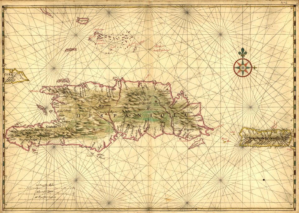
17th-century maps of hispaniola
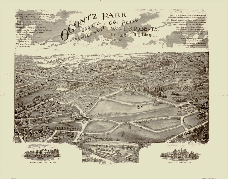
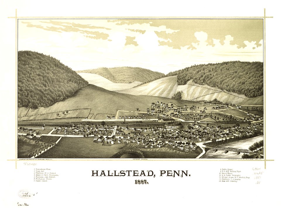
pennsylvania
hallstead
old maps of new york (state)
new york
maps in the library of congress
1867 maps
maps in the library of congress
1867 maps
bellaire
ohio
old maps of new york (state)
new york
georgia
quitman
o. h. bailey
1880 maps
maps in the library of congress
western europe
old maps of massachusetts
martha's vineyard
cartes et tables de la géographie physique ou naturelle
maps in the library of congress
cartes et tables de la géographie physique ou naturelle
maps in the library of congress
cartes et tables de la géographie physique ou naturelle
maps in the library of congress
cartes et tables de la géographie physique ou naturelle
maps in the library of congress
cartes et tables de la géographie physique ou naturelle
maps in the library of congress
cartes et tables de la géographie physique ou naturelle
maps in the library of congress
cartes et tables de la géographie physique ou naturelle
maps in the library of congress
cartes et tables de la géographie physique ou naturelle
maps in the library of congress
cartes et tables de la géographie physique ou naturelle
maps in the library of congress
maps in the library of congress
old maps of mexico
massachusetts
o. h. bailey
works by charles fenderich
hernández (surname)
maps in the library of congress
western europe
new york
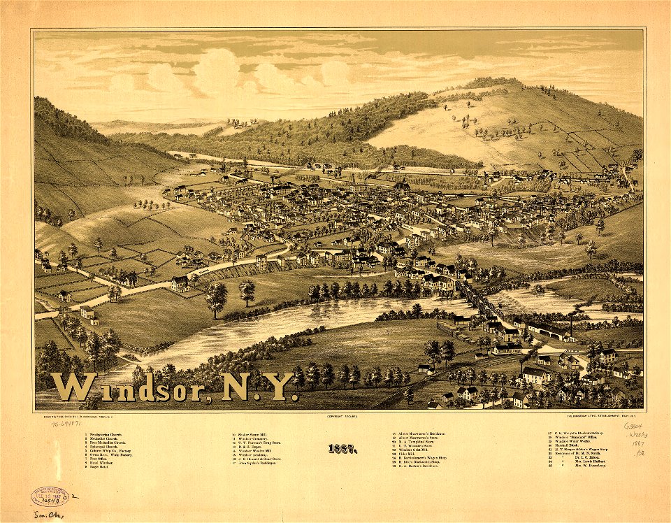
windsor
maps in the library of congress
1707 maps
maps in the library of congress
1707 maps
maps in the library of congress
western europe
a map of the british empire in america with the french and spanish settlements adjacent thereto
maps in the library of congress
a map of the british empire in america with the french and spanish settlements adjacent thereto
maps in the library of congress
a map of the british empire in america with the french and spanish settlements adjacent thereto
maps in the library of congress
a map of the british empire in america with the french and spanish settlements adjacent thereto
maps in the library of congress
a map of the british empire in america with the french and spanish settlements adjacent thereto
maps in the library of congress
a map of the british empire in america with the french and spanish settlements adjacent thereto
maps in the library of congress
2001 - 2100 of 26,134
Next page
/ 262