Log in
All resources
Create a design
Tools
19,071 Free Images of Made
food
decoration
gift
packing
birthday
packaging
white
surprised
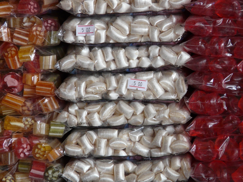
sweets
hand made
mary sarah bilder
jack rakove
children
maps
children
maps
autumn
light
plants
food
christmas tree
decoration
nature
forest
view
fur
baskets
school
chocolate
food
thailand
woman
works made in the 1840s by william henry hunt
plants
brown
poaceae
plants
kitchen
blender
hanging
tracks
kitchen
food
plate
food
boat
sea
nature
plants
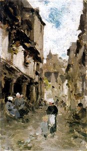
works made in france by nicolae grigorescu
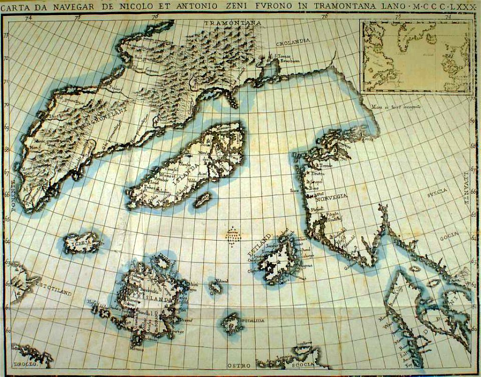
provided by landsbókasafn íslands
maps made in the 19th century
berries
food
berries
food
health
nature
clock
alarm
scissors
paper
celebrities
background
celebrities
christmas
celebrities
background
celebrities
background
sweets
food
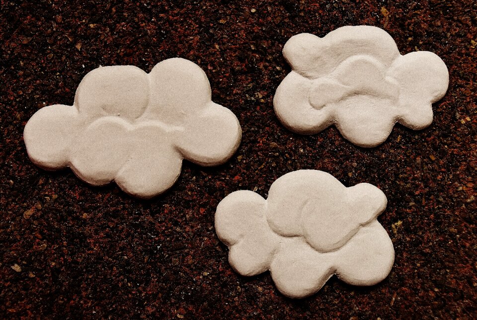
clouds
white
clown
white
halloween
skull
stones
food
clouds
white
christmas
ball
christmas
ball
berries
food
tin toy motorcars
cc-zero
tin toy motorcars
cc-zero
with trademark
cc-zero
close-up photographs of man-made objects
bulawa
jack rakove
group
jack rakove
inside
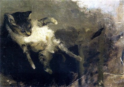
paintings made in the 1890s (federico zandomeneghi)
edward dodwell
paintings made in the 1870s (federico zandomeneghi)
paintings made in the 1910s (federico zandomeneghi)
laurel wreath
wreath
children
maps
celebrities
background
celebrities
background
celebrities
background
nature
summer
paintings made in the 1890s (federico zandomeneghi)
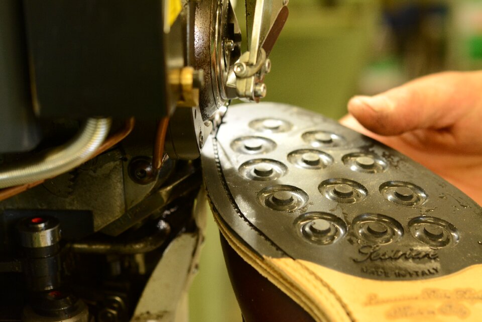
shoes
italy
clouds
white
shopping
sweets
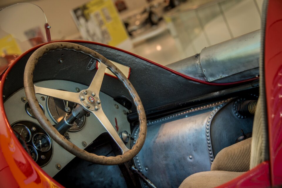
vehicle
car
objects
horses
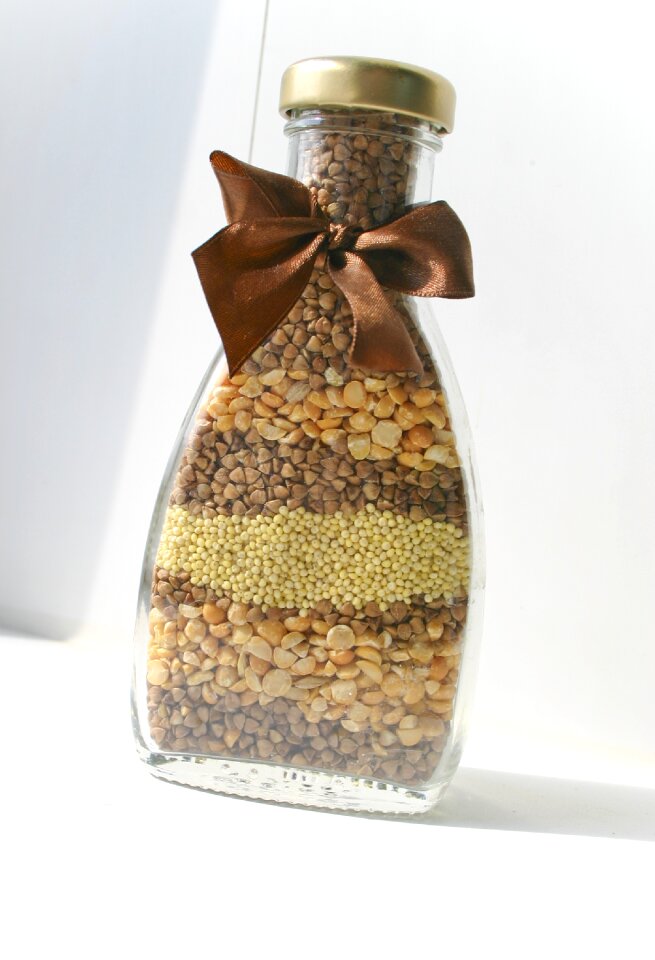
glass
food
female
brown
jack rakove
inside
jack rakove
group
church of the dormition of the theotokos (kondopoga)
model
bed
christmas
sweets
heart
love
clouds
white
gift
bag
dolphin
white
robots
man
nature
stones
nature
shoes
plate
food
christmas
gift
tin toy motorcars
cc-zero
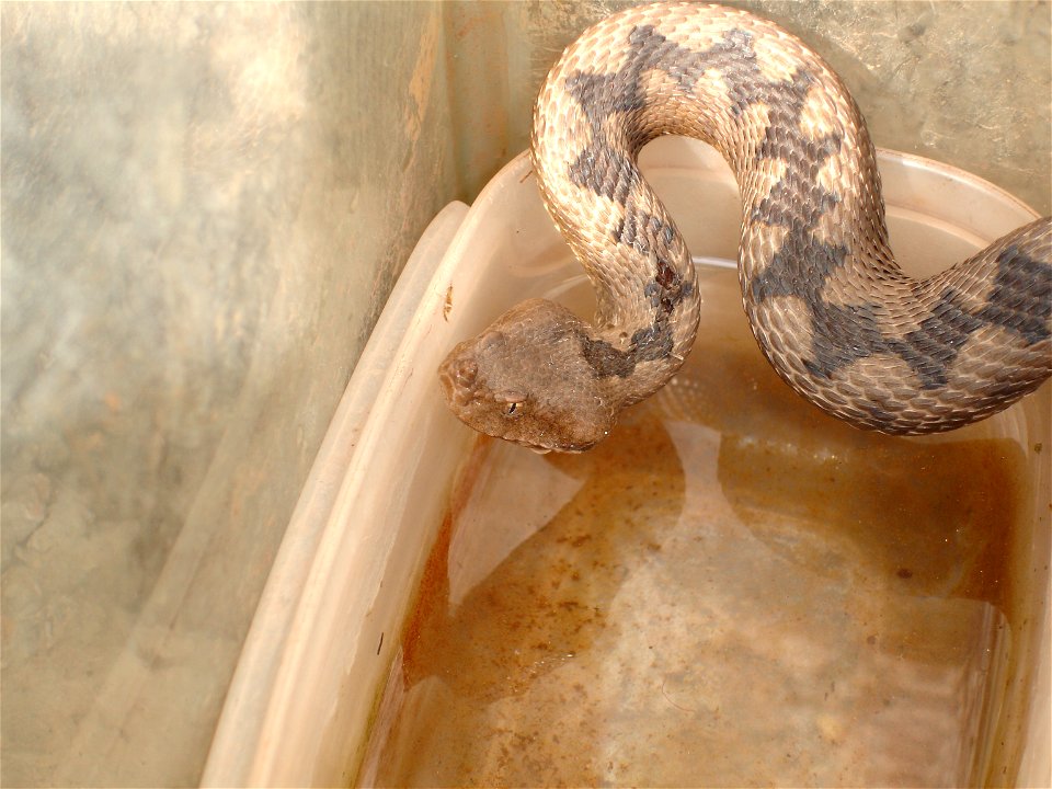
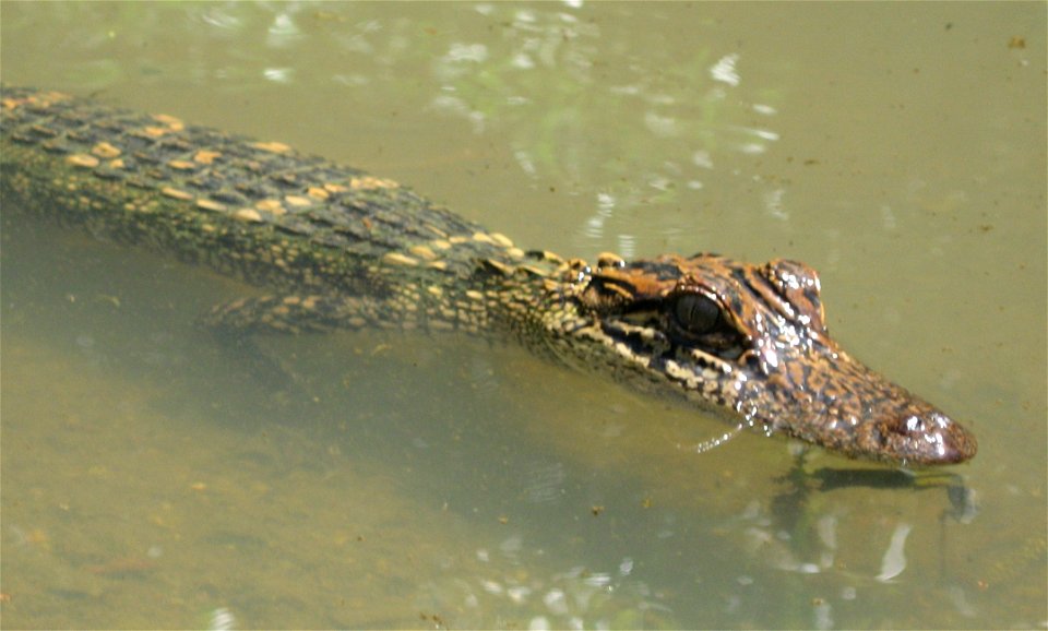
reptiles
animals
wildlife
animals
disaster drills
triage
celebrities
background
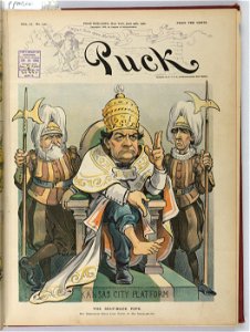
puck
1902
19th-century prints of men
19th-century prints of men
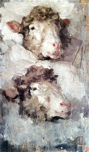
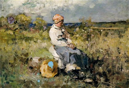
works made in france by nicolae grigorescu
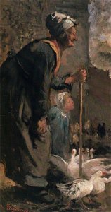
works made in france by nicolae grigorescu
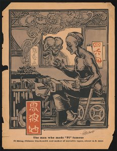
puck
1902
clothing in the hermitage museum
balcony (jewels exhibition)
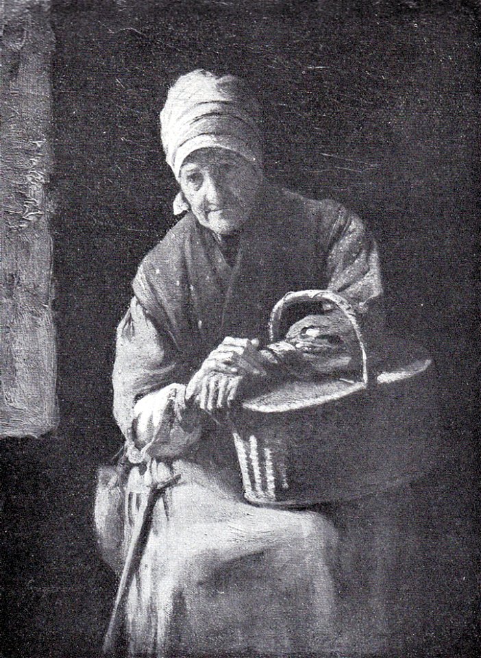
works made in france by nicolae grigorescu
works made in france by nicolae grigorescu
works made in france by nicolae grigorescu
clouds
space
clouds
space
501 - 600 of 19,071
Next page
/ 191